
Whitehouse, building in Rudford and Highleadon, Forest of Dean, Gloucestershire, UK
Posizione: Rudford and Highleadon
Coordinate GPS: 51.91039,-2.33345
Ultimo aggiornamento: 5 settembre 2025 alle 03:37
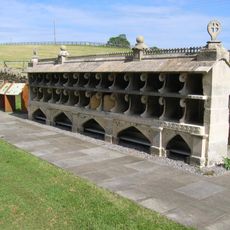
Bee Shelter Approximately 50 Metres East Of St Mary The Virgin Hartpury
1.9 km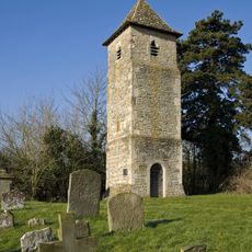
St Oswald's Church, Lassington
3.4 km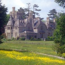
Foscombe
4.3 km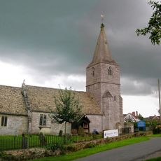
Church of St Margaret
3.4 km
Church of St Mary
2.1 km
Church of St Mary
3.4 km
Church of St Michael
4 km
Church of St Lawrence
3.7 km
Hartpury Methodist Chapel
3.3 km
Church of St Mary
904 m
Church of the Holy Trinity
2.3 km
Sloper Monument, In The Churchyard, About 21 Metres North Of West End Of The Chancel, Church Of St Mary
910 m
Tibberton Court
2.3 km
Monument To Dead In Civil War Skirmish
1.4 km
The Laurels
1.9 km
Taynton War Memorial
3.7 km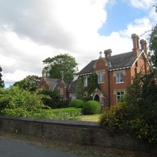
Old School
1.9 km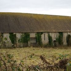
Tithe Barn, Hartpury Court
827 m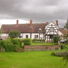
Corse Court
3.3 km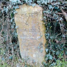
Milestone
2.8 km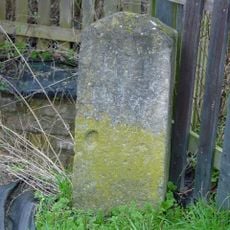
Milestone By Bovone Cottages
1.6 km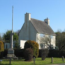
The war memorial, Hartpury
3.1 km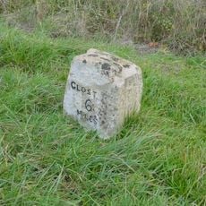
Milestone, About 200M North Of Junction With Worcester Road
4.4 km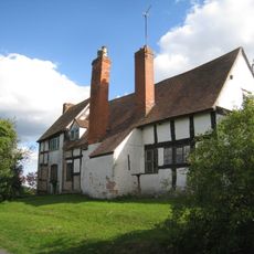
Pound Farmhouse
2.4 km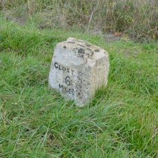
Milestone, Corse; Church Lane
4.4 km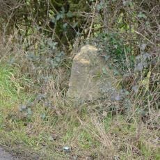
Milestone, Highleadon
482 m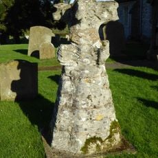
Top Of Spire, Reset In Churchyard, About 5 Metres North Of The West End Of The Tower, Church Of St Margaret
3.4 km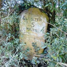
Milestone, Watersmeet
3.4 kmRecensioni
Ha visitato questo luogo? Tocchi le stelle per valutarlo e condividere la Sua esperienza o foto con la community! Provalo ora! Puoi annullarlo in qualsiasi momento.
Scopri tesori nascosti ad ogni viaggio!
Da piccoli caffè caratteristici a panorami nascosti, fuggi dalla folla e scova i posti che fanno davvero per te. La nostra app ti semplifica tutto: ricerca vocale, filtri furbi, percorsi ottimizzati e dritte autentiche da viaggiatori di tutto il mondo. Scaricala subito per vivere l'avventura sul tuo smartphone!

Un nuovo approccio alla scoperta turistica❞
— Le Figaro
Tutti i luoghi che meritano di essere esplorati❞
— France Info
Un’escursione su misura in pochi clic❞
— 20 Minutes