
Well And Housing In Churchyard Wall About 25 Metres North East Of Church Of All Saints
Well And Housing In Churchyard Wall About 25 Metres North East Of Church Of All Saints, well in Hawkhurst, Tunbridge Wells, Kent, UK
Posizione: Hawkhurst
Coordinate GPS: 51.04696,0.51273
Ultimo aggiornamento: 30 aprile 2025 alle 16:58

Iridge Place
4.3 km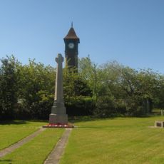
Sandhurst War Memorial
4.2 km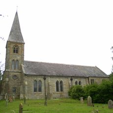
St Augustine's Church, Flimwell
3.8 km
Parsonage Wood
4.1 km
Merriments Garden
3.4 km
Church of All Saints
22 m
Church of St Laurence
1.2 km
Church of St Nicholas
4.3 km
Royal Oak Inn
196 m
The Curlew Inn
4.2 km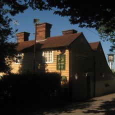
The Woodcock Public House
4.5 km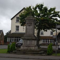
Hawkhurst War Memorial
195 m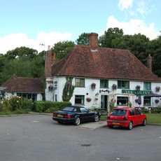
Oak And Ivy Public House
1.1 km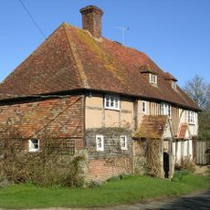
Four Wents Cottage Tour Wents
2.3 km
Great Wigsell
3.2 km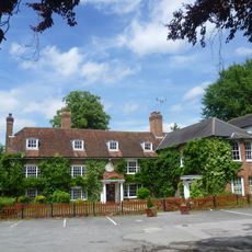
The Queen's Hotel
76 m
Marlborough House School
951 m
Milestone Opposite Sandhurst Farm Shop
3.6 km
Large Barn at Great Wigsell to the Southeast of the House
3.2 km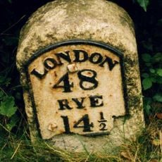
Milestone At 765 304
642 m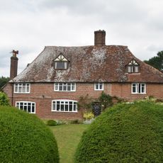
Bell Farmhouse Bell House
4.2 km
The Oasthouses and Granary at Great Wigsell to the Northwest of the House
3.2 km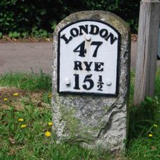
Milestone At 753 307
920 m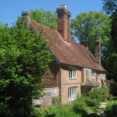
Attwaters And Wall Attached
2.8 km
The Mill House
4.4 km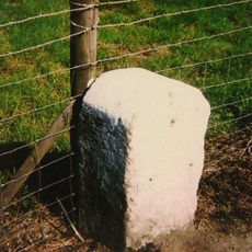
Milestone, Hawkhurst Road, Flimwell
4.1 km
Milestone, Flimwell Road, nr opp. Elm Hill House
2.5 km
Milestone, Rye Road, E of "Clayhill"
2.1 kmRecensioni
Ha visitato questo luogo? Tocchi le stelle per valutarlo e condividere la Sua esperienza o foto con la community! Provalo ora! Puoi annullarlo in qualsiasi momento.
Scopri tesori nascosti ad ogni viaggio!
Da piccoli caffè caratteristici a panorami nascosti, fuggi dalla folla e scova i posti che fanno davvero per te. La nostra app ti semplifica tutto: ricerca vocale, filtri furbi, percorsi ottimizzati e dritte autentiche da viaggiatori di tutto il mondo. Scaricala subito per vivere l'avventura sul tuo smartphone!

Un nuovo approccio alla scoperta turistica❞
— Le Figaro
Tutti i luoghi che meritano di essere esplorati❞
— France Info
Un’escursione su misura in pochi clic❞
— 20 Minutes