
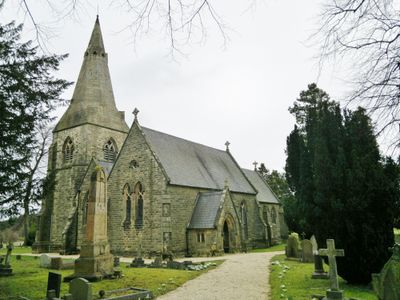
Holy Trinity Church, church building in Brackenfield, North East Derbyshire, Derbyshire, UK
Posizione: Brackenfield
Coordinate GPS: 53.12698,-1.44423
Ultimo aggiornamento: 10 marzo 2025 alle 23:09
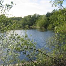
Ogston Reservoir
1.3 km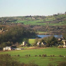
Ogston Hall
884 m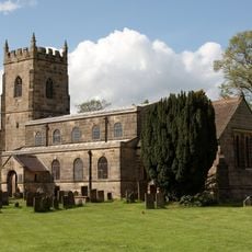
All Saints' Church, South Wingfield
3.4 km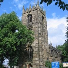
St Leonard's Church
2.7 km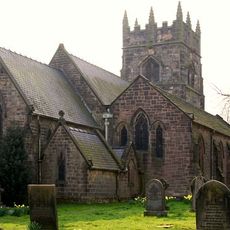
Church of Holy Cross
3.6 km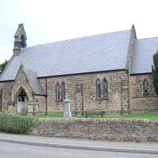
Christ Church
1.4 km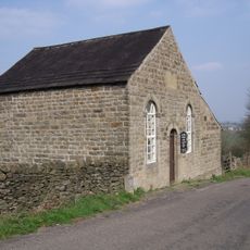
Ashover Hay Primitive Methodist Chapel
2.6 km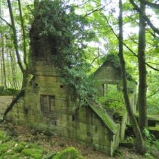
Ruins of Trinity Chapel
1.5 km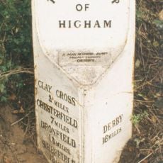
Mile Post 14 Metres North Of Quarry Farmhouse, Higham
1.8 km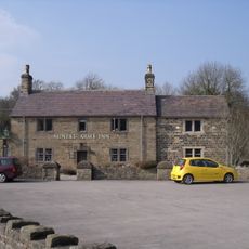
The Miners Arms Public House
3.3 km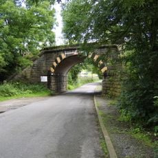
Amber Mill Bridge (Spc8 61)
2.6 km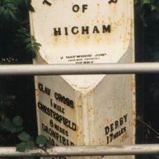
Mile Post Opposite Hilltop Farmhouse
2.8 km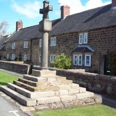
Village Cross, Higham
1.7 km
Stubben Edge Cottage
3.1 km
Dale Cottage Farmhouse
2.9 km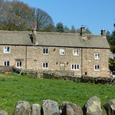
Clattercotes Farmhouse
2 km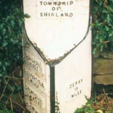
Mile Post 10 Metres South East Of Carr Hill Farmhouse
2.2 km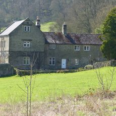
Ravensnest and attached farm buildings Ravensnest and The Beeches
3.7 km
Raven House
3 km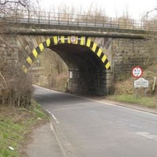
Railway Bridge To The South East Of Dale Bridge
3 km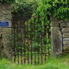
Pound to the south of the Miners Arms
3.2 km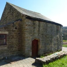
Outbuilding to the south of Clattercotes Farmhouse
2 km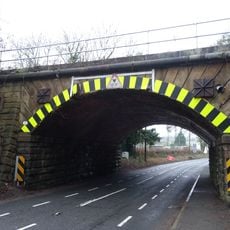
Railway Bridge South Of South Wingfield Stationmaster's House
3.6 km
Three Bridges At Smithymoor Nr Stretton Station
2.8 km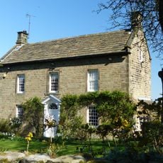
West View
2.4 km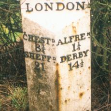
Milepost, roadside at SK404579
3.3 km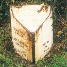
Milepost, S of Toadhole Furnace
3.1 km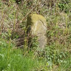
Milestone, Reservoir Farm
3 kmHa visitato questo luogo? Tocchi le stelle per valutarlo e condividere la Sua esperienza o foto con la community! Provalo ora! Puoi annullarlo in qualsiasi momento.
Scopri tesori nascosti ad ogni viaggio!
Da piccoli caffè caratteristici a panorami nascosti, fuggi dalla folla e scova i posti che fanno davvero per te. La nostra app ti semplifica tutto: ricerca vocale, filtri furbi, percorsi ottimizzati e dritte autentiche da viaggiatori di tutto il mondo. Scaricala subito per vivere l'avventura sul tuo smartphone!

Un nuovo approccio alla scoperta turistica❞
— Le Figaro
Tutti i luoghi che meritano di essere esplorati❞
— France Info
Un’escursione su misura in pochi clic❞
— 20 Minutes