
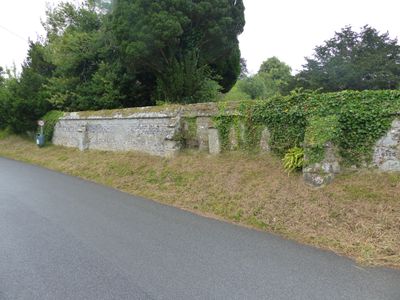
Approximately 25m of churchyard wall to the west and south of St Mary's Church
Approximately 25m of churchyard wall to the west and south of St Mary's Church, Grade II listed churchyard wall in Iwerne Minster, North Dorset, Dorset, UK
Posizione: Iwerne Minster
Coordinate GPS: 50.92947,-2.18909
Ultimo aggiornamento: 5 marzo 2025 alle 14:38
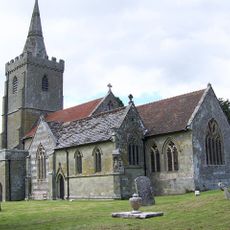
Church of St Mary
27 m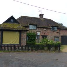
Sunnyside and attached shop
195 m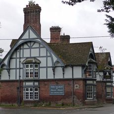
The Talbot at Iwerne Minster
284 m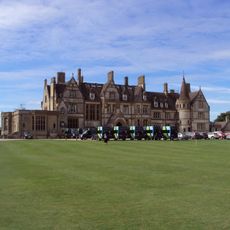
Iwerne Minster House
546 m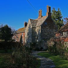
The Chantry
54 m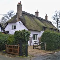
The Old Cottage
241 m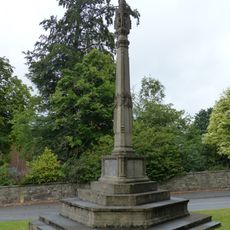
Iwerne Minster and Sutton Waldron War Memorial
265 m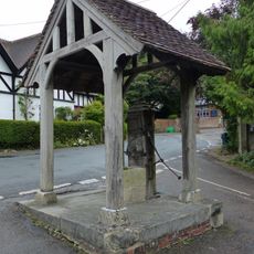
Village pump and pumphouse
147 m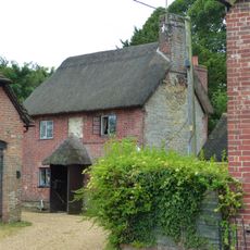
Sunnyside Cottage
207 m
Spring Cottage
129 m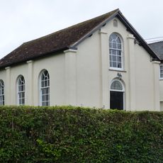
Abingdon Memorial Hall
170 m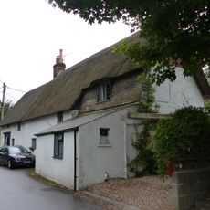
Dwell Deep and Dip Well
172 m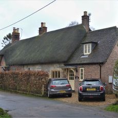
Pair of cottages approximately 5 m east of Sunnyside
179 m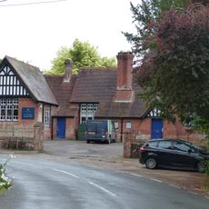
Primary School
107 m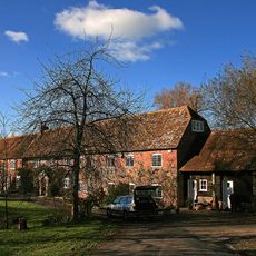
Oyles Mill and Mill House
978 m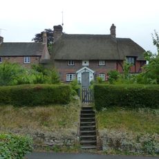
Noel Cottage
45 m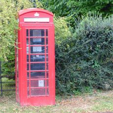
K6 Telephone Kiosk
185 m
Brook Cottage
122 m
Heddle House
121 m
Brookman's Farmhouse
205 m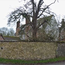
Devine House
141 m
Home Farm Barn.
183 m
Oak House
50 m
The War Office
139 m
Tillhays
93 m
Bowhay
216 m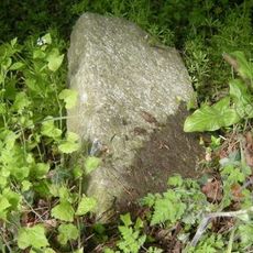
Milestone, 50m N of turning to Child Okeford
961 m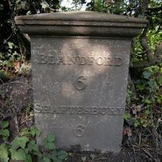
Milepost, S of village, 50m S of 30mph signs
747 mRecensioni
Ha visitato questo luogo? Tocchi le stelle per valutarlo e condividere la Sua esperienza o foto con la community! Provalo ora! Puoi annullarlo in qualsiasi momento.
Scopri tesori nascosti ad ogni viaggio!
Da piccoli caffè caratteristici a panorami nascosti, fuggi dalla folla e scova i posti che fanno davvero per te. La nostra app ti semplifica tutto: ricerca vocale, filtri furbi, percorsi ottimizzati e dritte autentiche da viaggiatori di tutto il mondo. Scaricala subito per vivere l'avventura sul tuo smartphone!

Un nuovo approccio alla scoperta turistica❞
— Le Figaro
Tutti i luoghi che meritano di essere esplorati❞
— France Info
Un’escursione su misura in pochi clic❞
— 20 Minutes