
The War Office, building in Iwerne Minster, North Dorset, Dorset, UK
Posizione: Iwerne Minster
Coordinate GPS: 50.92992,-2.19094
Ultimo aggiornamento: 4 marzo 2025 alle 02:27
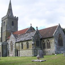
Church of St Mary
163 m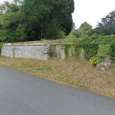
Approximately 25m of churchyard wall to the west and south of St Mary's Church
139 m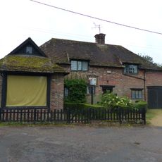
Sunnyside and attached shop
220 m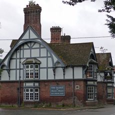
The Talbot at Iwerne Minster
230 m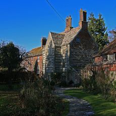
The Chantry
155 m
Iwerne Minster House
407 m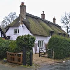
The Old Cottage
108 m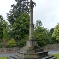
Iwerne Minster and Sutton Waldron War Memorial
129 m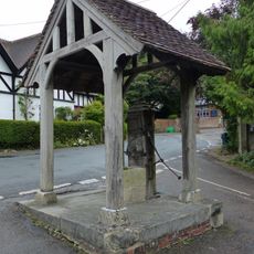
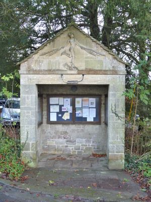
Village pump and pumphouse
9 m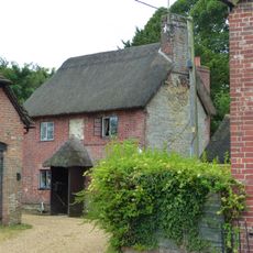
Sunnyside Cottage
220 m
Spring Cottage
230 m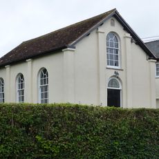
Abingdon Memorial Hall
158 m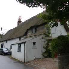
Dwell Deep and Dip Well
275 m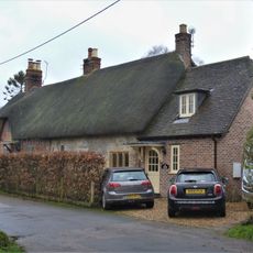
Pair of cottages approximately 5 m east of Sunnyside
221 m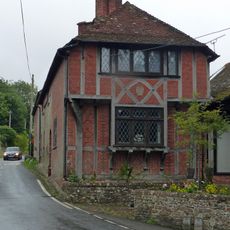
Heddle House
150 m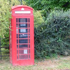
K6 Telephone Kiosk
201 m
Noel Cottage
149 m
Brookman's Farmhouse
341 m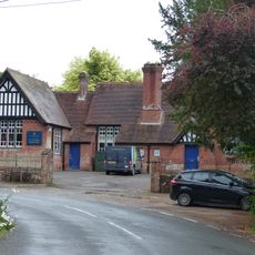
Primary School
42 m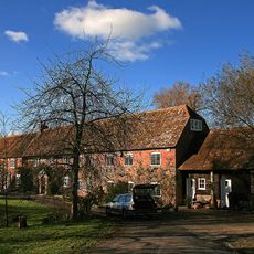
Oyles Mill and Mill House
959 m
Brook Cottage
203 m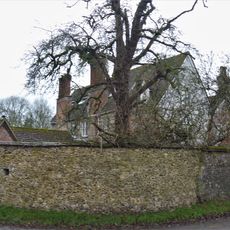
Devine House
279 m
Home Farm Barn.
103 m
Oak House
177 m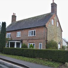
Bowhay
316 m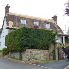
Tillhays
144 m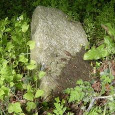
Milestone, 50m N of turning to Child Okeford
876 m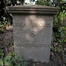
Milepost, S of village, 50m S of 30mph signs
751 mRecensioni
Ha visitato questo luogo? Tocchi le stelle per valutarlo e condividere la Sua esperienza o foto con la community! Provalo ora! Puoi annullarlo in qualsiasi momento.
Scopri tesori nascosti ad ogni viaggio!
Da piccoli caffè caratteristici a panorami nascosti, fuggi dalla folla e scova i posti che fanno davvero per te. La nostra app ti semplifica tutto: ricerca vocale, filtri furbi, percorsi ottimizzati e dritte autentiche da viaggiatori di tutto il mondo. Scaricala subito per vivere l'avventura sul tuo smartphone!

Un nuovo approccio alla scoperta turistica❞
— Le Figaro
Tutti i luoghi che meritano di essere esplorati❞
— France Info
Un’escursione su misura in pochi clic❞
— 20 Minutes