
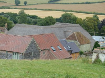
Barn 20m south of Church Farmhouse, Grade II listed barn in Iwerne Courtney or Shroton, North Dorset, Dorset, UK
Posizione: Iwerne Courtney or Shroton
Coordinate GPS: 50.91168,-2.20095
Ultimo aggiornamento: 9 marzo 2025 alle 10:00
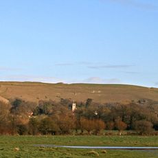
Hambledon Hill
1.5 km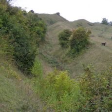
Hod Hill
1.8 km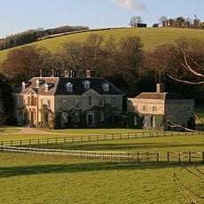
Stepleton House
1.2 km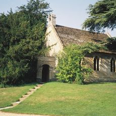
Church of St Michael and All Angels
1.9 km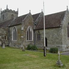
Church of St Mary
68 m
Sunnyside and attached shop
2 km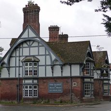
The Talbot at Iwerne Minster
1.9 km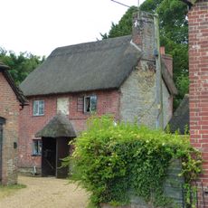
Sunnyside Cottage
1.9 km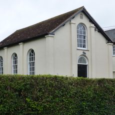
Abingdon Memorial Hall
2 km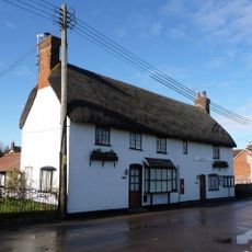
The Post Office
135 m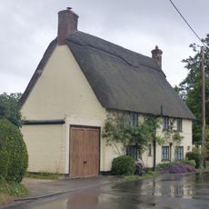
Hobnail Cottage
323 m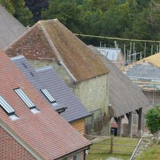
Dovecote and attached open shelter building 60m south-west Of Church Farmhouse
27 m
Pair of cottages approximately 5 m east of Sunnyside
2 km
Dwell Deep and Dip Well
2 km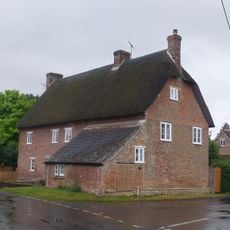
23 and 25 The Cross
412 m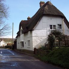
Thatched Cottage
474 m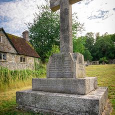
Shroton and Stepleton War Memorial
87 m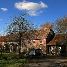
Oyles Mill and Mill House
1.2 km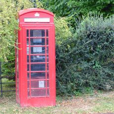
K6 Telephone Kiosk
2 km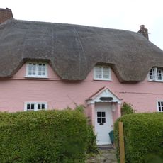
Larks Rise
882 m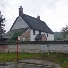
Hellum Farmhouse
388 m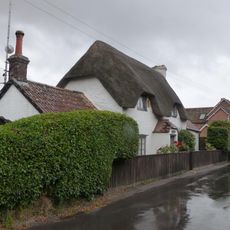
Littleport
238 m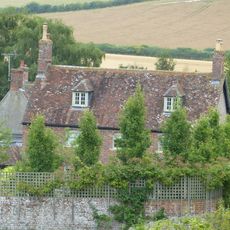
Church Farmhouse
69 m
Hod Hill camp and Lydsbury Rings
1.8 km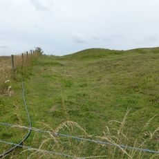
Causewayed camp on Hambledon Hill
1.1 km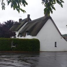
Fourways
436 m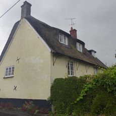
Little Grange
355 m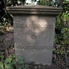
Milepost, S of village, 50m S of 30mph signs
1.4 kmHa visitato questo luogo? Tocchi le stelle per valutarlo e condividere la Sua esperienza o foto con la community! Provalo ora! Puoi annullarlo in qualsiasi momento.
Scopri tesori nascosti ad ogni viaggio!
Da piccoli caffè caratteristici a panorami nascosti, fuggi dalla folla e scova i posti che fanno davvero per te. La nostra app ti semplifica tutto: ricerca vocale, filtri furbi, percorsi ottimizzati e dritte autentiche da viaggiatori di tutto il mondo. Scaricala subito per vivere l'avventura sul tuo smartphone!

Un nuovo approccio alla scoperta turistica❞
— Le Figaro
Tutti i luoghi che meritano di essere esplorati❞
— France Info
Un’escursione su misura in pochi clic❞
— 20 Minutes