
Pump C. 20 Metres North-West Of Friars' Cote Farmhouse
Pump C. 20 Metres North-West Of Friars' Cote Farmhouse, building in Streatlam and Stainton, County Durham, UK
Posizione: Streatlam and Stainton
Coordinate GPS: 54.58318,-1.86686
Ultimo aggiornamento: 29 ottobre 2025 alle 02:35

Castello di Raby
4.3 km
La schiava greca
4.3 km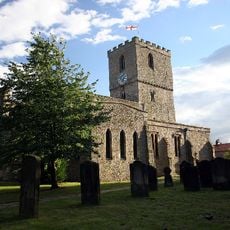
Church of St Mary, Staindrop
4.4 km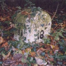
Milestone Approximately C.800 Metres North Of Church Bridge, Staindrop
4.6 km
Vane Mausoleum Approximately 100 Metres North Of Church Of St. Mary
4.4 km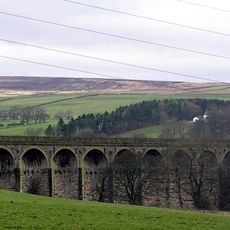
Langley Viaduct
2.3 km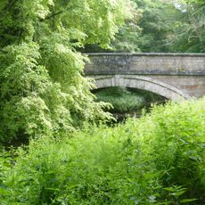
Church Bridge Over Langley Beck
4.5 km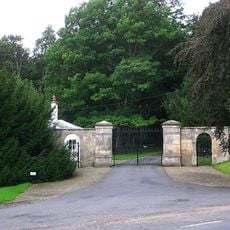
North Gatehouse And Walls Attached Enclosing Castle; Gate House Formerly Listed As 'porter's Lodge'
4.3 km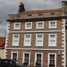
7, Front Street
4.1 km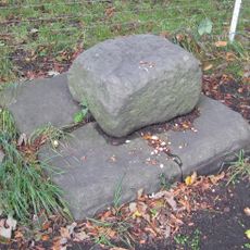
Base Stone Of Cross
3.9 km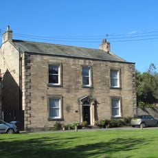
Raby House
3.9 km
South Entrance Gateway To Raby Castle
4.4 km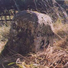
Milestone Approximately 150 Metres West Of Streatlam Castle South Lodges
2.2 km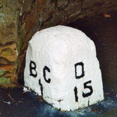
Milestone In Front Of Willowfield
4.6 km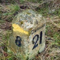
Milestone, 600 Metres North-East Of High Barford Farmhouse
2.4 km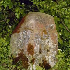
Milestone, 300 Metres East Of Junction With Mount Eff Road
4.3 km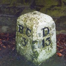
Milestone, 50 Metres North Of Arlaw Banks
4.4 km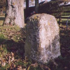
Milestone At Stainton Grove, C. 70 Metres North-West Of Post Office
3.4 km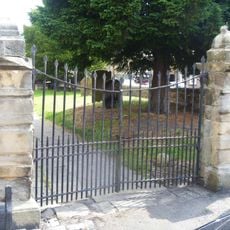
Gates Piers And Gates C.50 Metres South-West Of Church Of St. Mary
4.4 km
Township Road Marker Stone At Junction With Billy Lane
4.3 km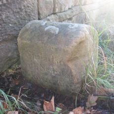
Township Road Marker Stone On Forthburn Bridge
2.4 km
Stable Block North-East Of Stables And Coach-House
4.4 km
Township Stone Opposite New Broomielaw
3.3 km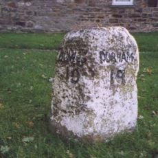
Milestone Approximately 10 Metres North Of No. 34 South Green
3.9 km
Byre House
4.4 km
Stables And Coachhouse, With Wall And Mounting-block Attached
4.3 km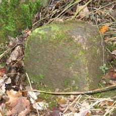
Parish Boundary Stone C.100 Metres East Of Lead Mill House, On South Side Of Road
4.2 km
Hawton Lane End, jct of UC road to Kinninvie, NW of Barnard Castle
4.3 kmRecensioni
Ha visitato questo luogo? Tocchi le stelle per valutarlo e condividere la Sua esperienza o foto con la community! Provalo ora! Puoi annullarlo in qualsiasi momento.
Scopri tesori nascosti ad ogni viaggio!
Da piccoli caffè caratteristici a panorami nascosti, fuggi dalla folla e scova i posti che fanno davvero per te. La nostra app ti semplifica tutto: ricerca vocale, filtri furbi, percorsi ottimizzati e dritte autentiche da viaggiatori di tutto il mondo. Scaricala subito per vivere l'avventura sul tuo smartphone!

Un nuovo approccio alla scoperta turistica❞
— Le Figaro
Tutti i luoghi che meritano di essere esplorati❞
— France Info
Un’escursione su misura in pochi clic❞
— 20 Minutes