
Former Toll House Approximately 16 Metres To West Of Acacia House
Former Toll House Approximately 16 Metres To West Of Acacia House, architectural structure in Minsterley, Shropshire, UK
Posizione: Minsterley
Coordinate GPS: 52.63982,-2.92810
Ultimo aggiornamento: 15 marzo 2025 alle 14:42

Caus Castle
4.5 km
Church of All Saints
4.5 km
Church of St Edith
6.1 km
Church of Holy Trinity
4.8 km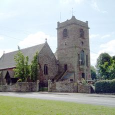
Church of St Mary
4.7 km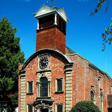
Church of the Holy Trinity
101 m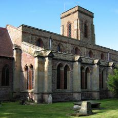
Church of St George
2.9 km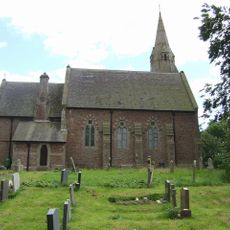
Holy Trinity Church
5.5 km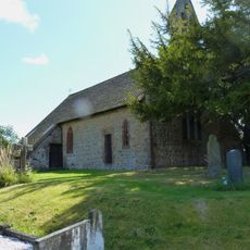
Church of St Mary
3 km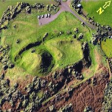
Castle Pulverbatch
5.7 km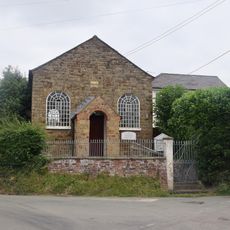
Asterley Methodist Chapel
2 km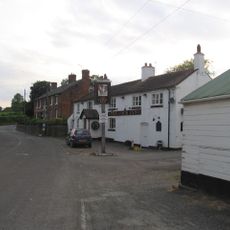
The Cock Inn
5.6 km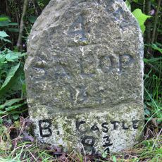
Milestone At Ngr Sj 3396 0102
5.3 km
Worthen Hall Farmhouse
4.4 km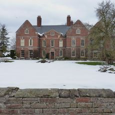
Whitton Hall
4.8 km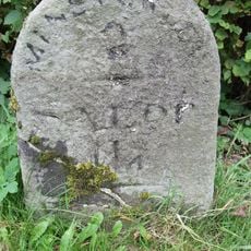
Milestone Approximately 135 Metres To North Of Brook Field
3 km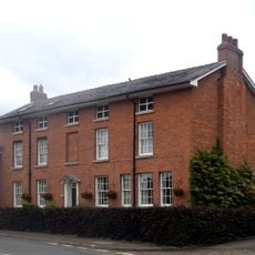
The Old White Horse
4.5 km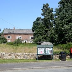
THE HERMITAGE
4.8 km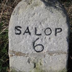
Milestone At Ngr Sj 4398 0541
6.7 km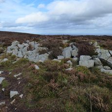
Tor cairn on Stiperstones, 130m SSE of Manstone Rock.
6.6 km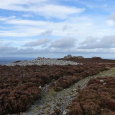
Round cairn on Stiperstones, 350m SSW of the Devil's Chair
6.3 km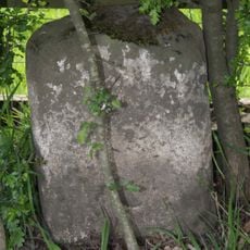
Milestone, Stoney Stretton
4.9 km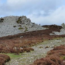
Round cairn on Stiperstones, 150m south of Manstone Rock.
6.6 km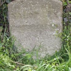
Milestone, Near B4387 jct.
4.2 km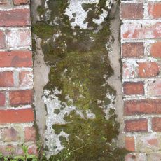
Milestone, S of Plealey turn
5 km
Milestone, 120m N Horseshoes Inn, Pontesford
2.3 km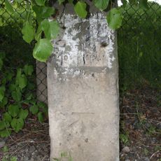
Milestone, Little Minsterley
819 m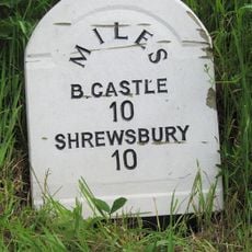
Milestone, New Leasowes Farm
6.5 kmRecensioni
Ha visitato questo luogo? Tocchi le stelle per valutarlo e condividere la Sua esperienza o foto con la community! Provalo ora! Puoi annullarlo in qualsiasi momento.
Scopri tesori nascosti ad ogni viaggio!
Da piccoli caffè caratteristici a panorami nascosti, fuggi dalla folla e scova i posti che fanno davvero per te. La nostra app ti semplifica tutto: ricerca vocale, filtri furbi, percorsi ottimizzati e dritte autentiche da viaggiatori di tutto il mondo. Scaricala subito per vivere l'avventura sul tuo smartphone!

Un nuovo approccio alla scoperta turistica❞
— Le Figaro
Tutti i luoghi che meritano di essere esplorati❞
— France Info
Un’escursione su misura in pochi clic❞
— 20 Minutes