
Sullen's Farmhouse, farmhouse in Havering, Greater London, UK
Posizione: London Borough of Havering
Coordinate GPS: 51.53938,0.25630
Ultimo aggiornamento: 24 ottobre 2025 alle 11:29
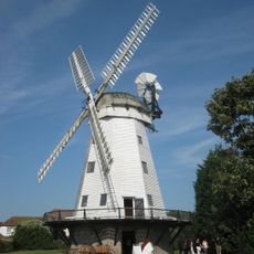
Upminster Windmill
2.2 km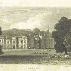
Belhus
3.3 km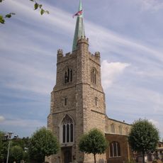
St Andrew's Church, Hornchurch
3.1 km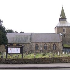
Church of St Laurence, Upminster
1.8 km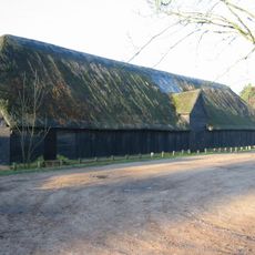
Upminster Tithe Barn Museum of Nostalgia
3.1 km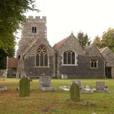
Church of St Mary Magdalene, North Ockendon
2.2 km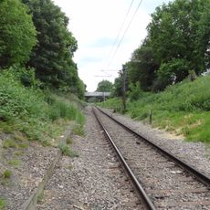
Hornchurch Cutting
3.2 km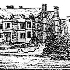
Cranham Hall
1.6 km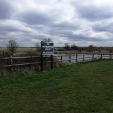
Ingrebourne Valley
3.2 km
Cranham Brickfields
3.3 km
Cranham Marsh
916 m
RAF Hornchurch Heritage Centre
2.9 km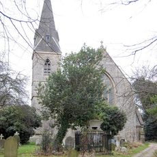
Church of All Saints, Cranham
1.6 km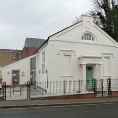
Upminster Old Chapel
2.2 km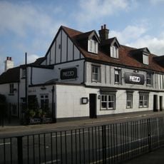
The King's Head Inn
3.4 km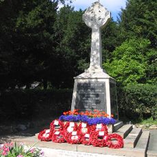
Upminster War Memorial
1.9 km
195, High Street
3.4 km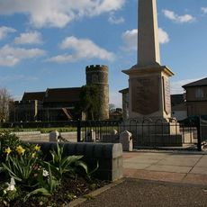
South Ockendon War Memorial
3.4 km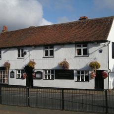
197, High Street
3.4 km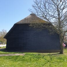
Medieval grange barn, 228m south-east of Upminster Court
3.1 km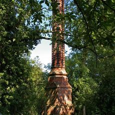
Stench Pipe
2.8 km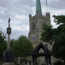
Hornchurch War Memorial
3.1 km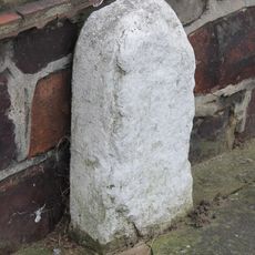
Milestone, Corbets Tey Road
843 m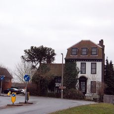
High House Farmhouse
484 m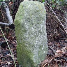
Milestone, by old footpath parallel to road within Belhus Woods Country Park
2.3 km
Milestone, Corbet's Tey Road
1.2 km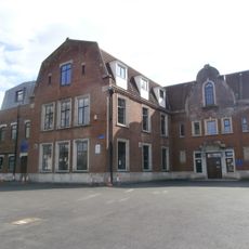
Sacred Heart of Mary Girls' School
2.1 km
Emerson Court
3.3 kmRecensioni
Ha visitato questo luogo? Tocchi le stelle per valutarlo e condividere la Sua esperienza o foto con la community! Provalo ora! Puoi annullarlo in qualsiasi momento.
Scopri tesori nascosti ad ogni viaggio!
Da piccoli caffè caratteristici a panorami nascosti, fuggi dalla folla e scova i posti che fanno davvero per te. La nostra app ti semplifica tutto: ricerca vocale, filtri furbi, percorsi ottimizzati e dritte autentiche da viaggiatori di tutto il mondo. Scaricala subito per vivere l'avventura sul tuo smartphone!

Un nuovo approccio alla scoperta turistica❞
— Le Figaro
Tutti i luoghi che meritano di essere esplorati❞
— France Info
Un’escursione su misura in pochi clic❞
— 20 Minutes