
The Noards, architectural structure in Westbury-on-Severn, Forest of Dean, Gloucestershire, UK
Posizione: Westbury-on-Severn
Coordinate GPS: 51.82902,-2.35344
Ultimo aggiornamento: 26 aprile 2025 alle 02:32

Severn bore
2.8 km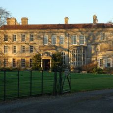
Elmore Court
2.6 km
Westbury Court Garden
4 km
Walmore Common
1.3 km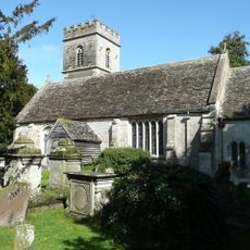
Church of St John the Baptist
1 km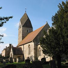
Church of St Andrew
3.8 km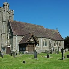
Church of St Peter
2.9 km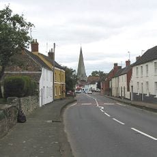
Church of St Peter and St Paul
4.1 km
Statue in T Canal, Westbury Court Gardens
3.9 km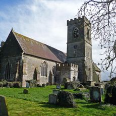
Church of St Lawrence
2.2 km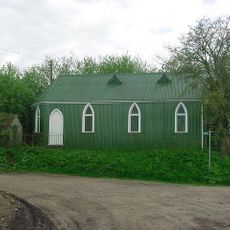
Rodley Mission Hall
2.7 km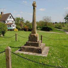
Elmore War Memorial
2.7 km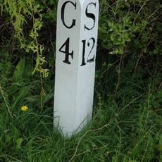
Milepost At National Grid Reference So 796 137
3.9 km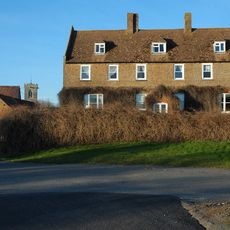
Manor Farmhouse
2.3 km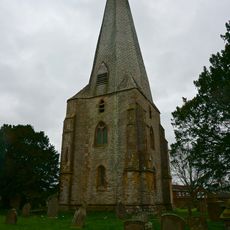
Tower And Spire, Church Of St Peter And St Paul
4.1 km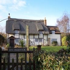
Lyn Paddock
3.1 km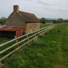
The Fishing House
3.7 km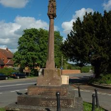
Cross At Junction With Bell Lane And A48
4.1 km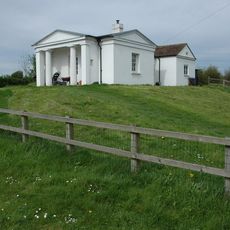
Bridge Keeper's House To North West Of Hardwicke Bridge
3.7 km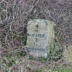
Milestone, About 50M South Of Drive To Hygrove House
3.3 km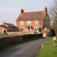
House, Bays Court
1.4 km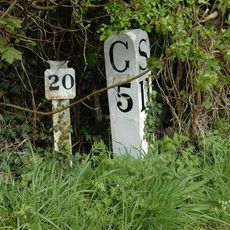
Milepost And Length Marker
3.6 km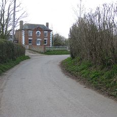
Dove House
3.2 km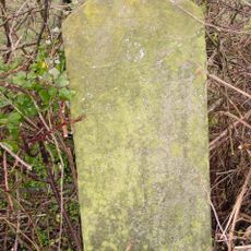
Milestone, On A48 About 67 Metres East Of Lane To Wintiles Hill House
2.9 km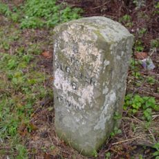
Milestone, About 110 Metres East Of Oakle Street
2.2 km
Milepost At National Grid Reference So 779 112
4 km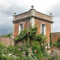
Gazebo, Westbury Court Gardens
3.9 km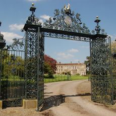
Gateway to south of Elmore Court
2.6 kmRecensioni
Ha visitato questo luogo? Tocchi le stelle per valutarlo e condividere la Sua esperienza o foto con la community! Provalo ora! Puoi annullarlo in qualsiasi momento.
Scopri tesori nascosti ad ogni viaggio!
Da piccoli caffè caratteristici a panorami nascosti, fuggi dalla folla e scova i posti che fanno davvero per te. La nostra app ti semplifica tutto: ricerca vocale, filtri furbi, percorsi ottimizzati e dritte autentiche da viaggiatori di tutto il mondo. Scaricala subito per vivere l'avventura sul tuo smartphone!

Un nuovo approccio alla scoperta turistica❞
— Le Figaro
Tutti i luoghi che meritano di essere esplorati❞
— France Info
Un’escursione su misura in pochi clic❞
— 20 Minutes