
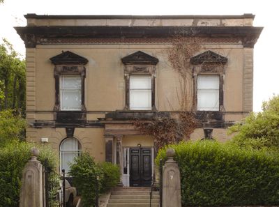
7 Rock Lane East, Rock Ferry, Grade II listed house in Wirral, Merseyside, UK
Posizione: Wirral
Inizio: 1840
Coordinate GPS: 53.37118,-3.00248
Ultimo aggiornamento: 27 aprile 2025 alle 12:02
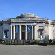
Lady Lever Art Gallery
1.7 km
The Oval
1.6 km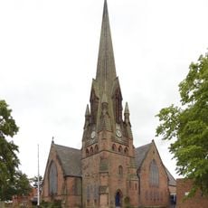
Church of St Paul with St Luke, Rock Ferry
936 m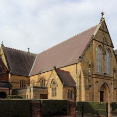
St Anne's Church, Rock Ferry
575 m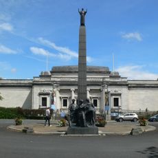
Leverhulme Memorial
1.7 km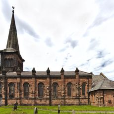
St Peter's Church, Rock Ferry
204 m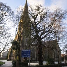
Highfield United Reformed Church
633 m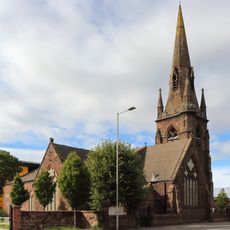
St Catherine's Church, Tranmere
1.8 km
14 - 16, Church Drive, Port Sunlight
1.9 km
Lodge to New Ferry Park
986 m
Port Sunlight Museum
1.8 km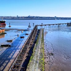
Rock Ferry Slipway
427 m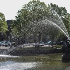
Pond and fountain, Lady Lever Art Gallery
1.8 km
15-27, Lower Road
1.7 km
Byrne Avenue swimming baths, Rock Ferry
788 m
Rock Ferry War Memorial
919 m
Tranmere Abattoir
1.7 km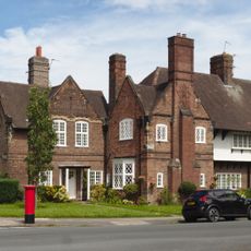
8 – 12 The Causeway & 1 – 4 King George's Drive, Port Sunlight
2 km
81 - 87 Bebington Road, Port Sunlight
1.5 km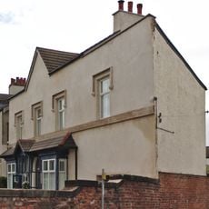
307 Old Chester Road, Rock Ferry
869 m
67 - 79 Bebington Road, Port Sunlight
1.4 km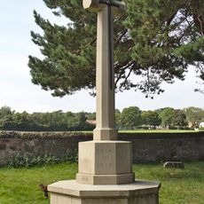
Bebington Cemetery War Memorial
1.8 km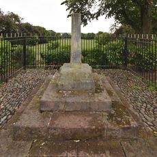
Tranmere Cross
1.5 km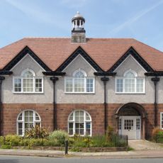
Hesketh Hall, Port Sunlight
1.4 km
5-20, King Georges Drive
1.9 km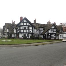
51-59, Lower Road
1.7 km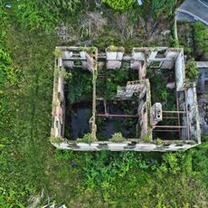
Number 19 With Gatepiers To Street
314 m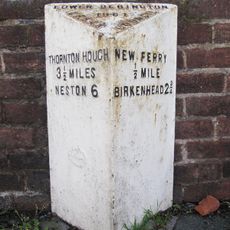
Milepost, Bebington Road; nr Bebington Station
1.7 kmRecensioni
Ha visitato questo luogo? Tocchi le stelle per valutarlo e condividere la Sua esperienza o foto con la community! Provalo ora! Puoi annullarlo in qualsiasi momento.
Scopri tesori nascosti ad ogni viaggio!
Da piccoli caffè caratteristici a panorami nascosti, fuggi dalla folla e scova i posti che fanno davvero per te. La nostra app ti semplifica tutto: ricerca vocale, filtri furbi, percorsi ottimizzati e dritte autentiche da viaggiatori di tutto il mondo. Scaricala subito per vivere l'avventura sul tuo smartphone!

Un nuovo approccio alla scoperta turistica❞
— Le Figaro
Tutti i luoghi che meritano di essere esplorati❞
— France Info
Un’escursione su misura in pochi clic❞
— 20 Minutes