
Gayhouse, building in Outwood, Tandridge, Surrey, UK
Posizione: Outwood
Coordinate GPS: 51.19382,-0.09502
Ultimo aggiornamento: 27 maggio 2025 alle 07:41
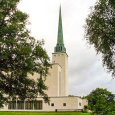
London England Temple
4.6 km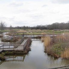
British Wildlife Centre
4 km
Crowhurst Place
5.5 km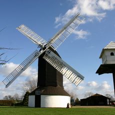
Outwood Windmill
439 m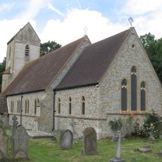
Church of St John the Baptist, Outwood
1.3 km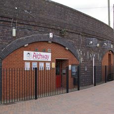
Archway Theatre
5.4 km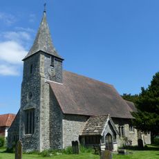
Church of St Mary the Virgin
1.3 km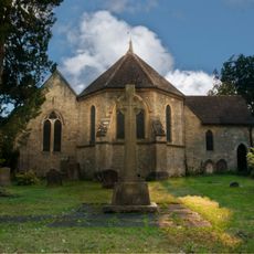
Church of St John the Evanglist
2.9 km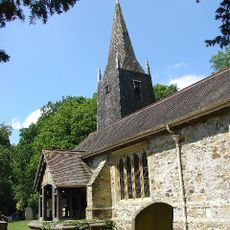
Church of St Bartholomew
4.7 km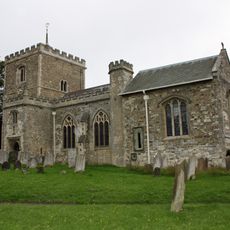
Church of St Mary the Virgin
5.3 km
Chapel Of St Mark
3.4 km
St Stephen
4.3 km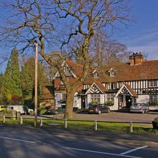
The Queens Head Public House
5.5 km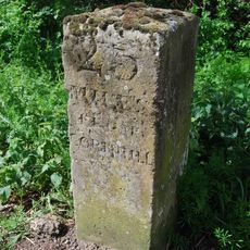
Milestone, Blindley Heath Common
3.3 km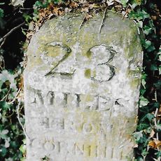
Milestone, Eastbourne Road, quarter mile S of Railway Bridge
3.8 km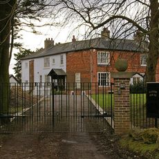
Hamme House
4.6 km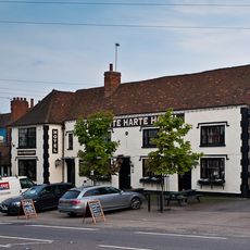
The White Hart Inn Including Former Stable To Rear
5.2 km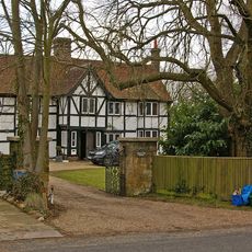
Kings Mill House
4.8 km
The Manse
5.2 km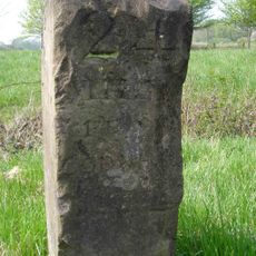
Milestone, The Grange, Eastbourne Road, Blindley Heath
2.9 km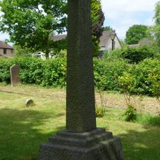
Blindley Heath War Memorial
2.9 km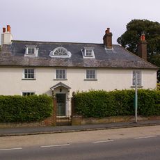
Halfway House
5.5 km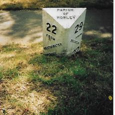
Milepost, Pentridge Common, Horley Road, 200m N of jct with A2044 (was B2035)
5.5 km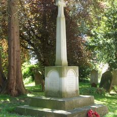
Horne WWI Memorial, Surrey
1.3 km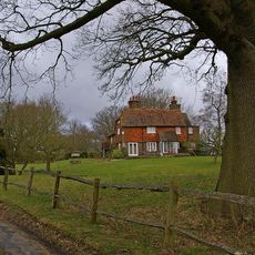
Staplehurst Farm House
4.6 km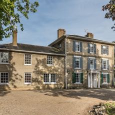
Godstone Place
3.4 km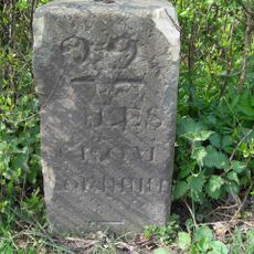
Milestone, Eastbourne Road, jct with Hart Lane
5.1 km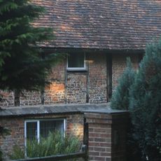
Brick Kiln
4.9 kmRecensioni
Ha visitato questo luogo? Tocchi le stelle per valutarlo e condividere la Sua esperienza o foto con la community! Provalo ora! Puoi annullarlo in qualsiasi momento.
Scopri tesori nascosti ad ogni viaggio!
Da piccoli caffè caratteristici a panorami nascosti, fuggi dalla folla e scova i posti che fanno davvero per te. La nostra app ti semplifica tutto: ricerca vocale, filtri furbi, percorsi ottimizzati e dritte autentiche da viaggiatori di tutto il mondo. Scaricala subito per vivere l'avventura sul tuo smartphone!

Un nuovo approccio alla scoperta turistica❞
— Le Figaro
Tutti i luoghi che meritano di essere esplorati❞
— France Info
Un’escursione su misura in pochi clic❞
— 20 Minutes