
Pine Township, township in Clearfield County, Pennsylvania
Posizione: Clearfield County
Coordinate GPS: 41.12667,-78.49861
Ultimo aggiornamento: 6 marzo 2025 alle 14:20


Quehanna Wild Area
26.1 km
Parker Dam State Park
8.4 km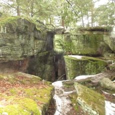
Bilger's Rocks
16.8 km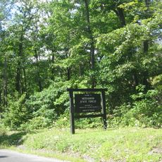
Moshannon State Forest
11.1 km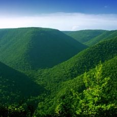
Elk State Forest
28.8 km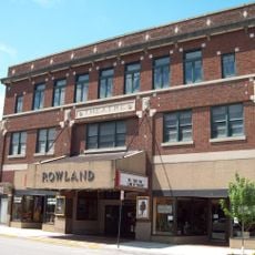
Rowland Theater
34.5 km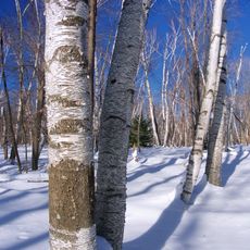
Marion Brooks Natural Area
24.3 km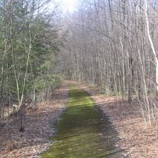
Wykoff Run Natural Area
28 km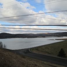
Curwensville Lake
19.3 km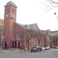
Clearfield County Courthouse
12.7 km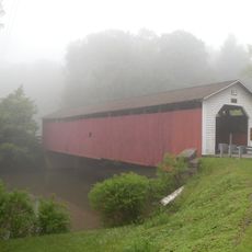
McGees Mills Covered Bridge
35.4 km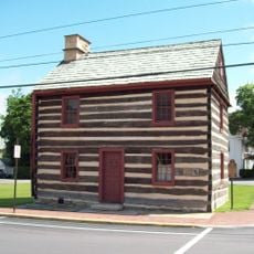
Philipsburg Historic District
34.6 km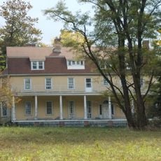
Hardman Philips House
35 km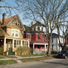
Old Town Historic District
12.6 km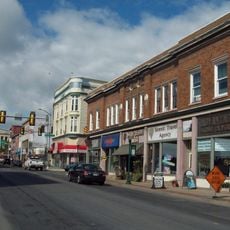
DuBois Historic District
22.2 km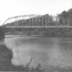
Hogback Bridge
17.1 km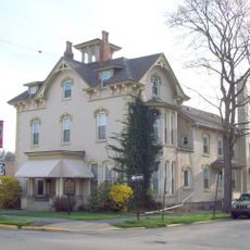
Thomas Murray House
12.9 km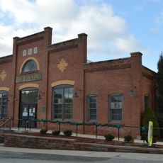
Herpel Brothers Foundry and Machine Shop
33.3 km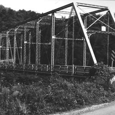
Bridge in Greenwood Township
27.1 km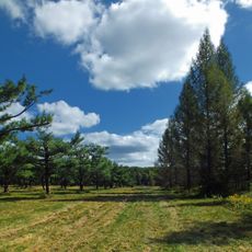
S. B. Elliott State Park
3.5 km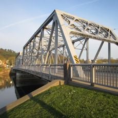
Market Street Bridge
12.6 km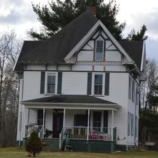
Redferd Segers House
26.2 km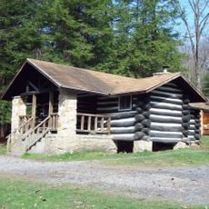
Parker Dam State Park Family Cabin District
8 km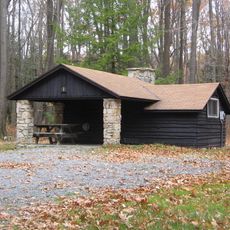
S. B. Elliott State Park Family Cabin District
2.6 km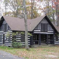
S. B. Elliott State Park Day Use District
2.7 km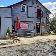
Laurel Mountain Winery
26.9 km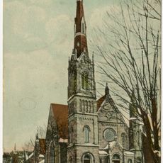
Clearfield Presbyterian Church
12.5 km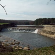
Parker Dam State Park-Parker Dam District
8 kmRecensioni
Ha visitato questo luogo? Tocchi le stelle per valutarlo e condividere la Sua esperienza o foto con la community! Provalo ora! Puoi annullarlo in qualsiasi momento.
Scopri tesori nascosti ad ogni viaggio!
Da piccoli caffè caratteristici a panorami nascosti, fuggi dalla folla e scova i posti che fanno davvero per te. La nostra app ti semplifica tutto: ricerca vocale, filtri furbi, percorsi ottimizzati e dritte autentiche da viaggiatori di tutto il mondo. Scaricala subito per vivere l'avventura sul tuo smartphone!

Un nuovo approccio alla scoperta turistica❞
— Le Figaro
Tutti i luoghi che meritano di essere esplorati❞
— France Info
Un’escursione su misura in pochi clic❞
— 20 Minutes