
East Main Street Historic District, park in Portage County, Ohio, United States of America
Posizione: Portage County
Coordinate GPS: 41.15722,-81.23333
Ultimo aggiornamento: 1 ottobre 2025 alle 10:53

Dix Stadium
7 km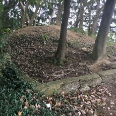
Partially Buried Woodshed
9 km
West Branch State Park
10.6 km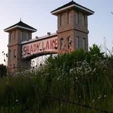
Shady Lake Park
14.5 km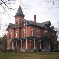
Masonic Temple
10.9 km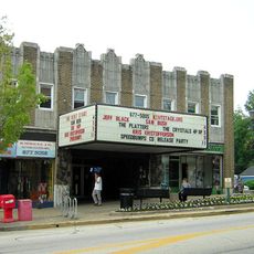
Kent Stage
10.3 km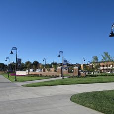
Memorial Stadium
9.3 km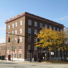
Franklin Hotel (Kent, Ohio)
10.6 km
Triangle Lake Bog State Nature Preserve
4.7 km
Kent Industrial District
10.7 km
Wills Gymnasium
9.7 km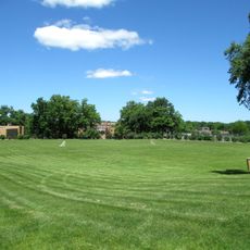
Rockwell Field
7 km
Kent Free Library
10.7 km
Atwater Congregational Church
16.6 km
Tom S. Cooperrider-Kent Bog State Nature Preserve
10.5 km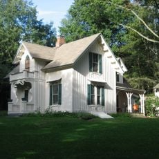
Aaron Ferrey House
11.6 km
John Davey House
11.1 km
Kent Jail
11.3 km
Charles Kent House
11.1 km
Freedom Congregational Church
11.3 km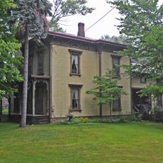
Francis D. Alling House
17.5 km
Mantua Center School
17.2 km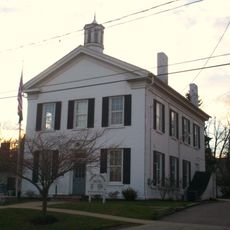
Franklin Township Hall
10.6 km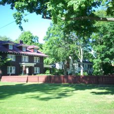
West Main Street District
11.1 km
Maca Park
15.8 km
Ohio State Normal College At Kent
9.6 km
Kent State University Center for the Performing Arts
9 km
May 4, 1970, Kent State Shootings Site
9.3 kmRecensioni
Ha visitato questo luogo? Tocchi le stelle per valutarlo e condividere la Sua esperienza o foto con la community! Provalo ora! Puoi annullarlo in qualsiasi momento.
Scopri tesori nascosti ad ogni viaggio!
Da piccoli caffè caratteristici a panorami nascosti, fuggi dalla folla e scova i posti che fanno davvero per te. La nostra app ti semplifica tutto: ricerca vocale, filtri furbi, percorsi ottimizzati e dritte autentiche da viaggiatori di tutto il mondo. Scaricala subito per vivere l'avventura sul tuo smartphone!

Un nuovo approccio alla scoperta turistica❞
— Le Figaro
Tutti i luoghi che meritano di essere esplorati❞
— France Info
Un’escursione su misura in pochi clic❞
— 20 Minutes