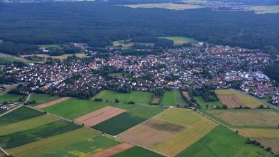
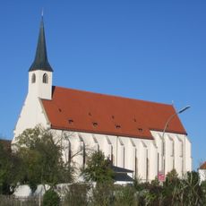
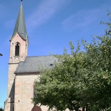
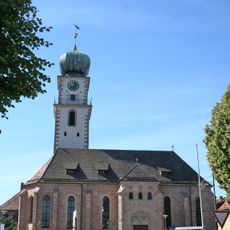
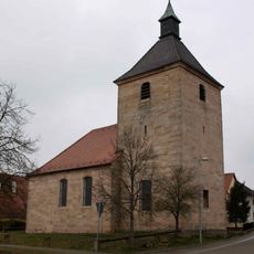
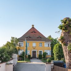
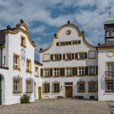
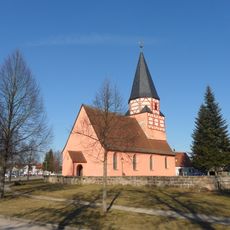
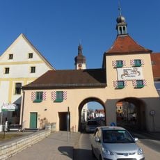
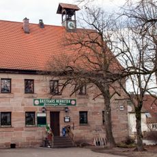
Pyrbaum, comune tedesco
Posizione: Neumarkt
Altezza sopra il mare: 438 m
Sito web: https://pyrbaum.de
Coordinate GPS: 49.29833,11.28944
Ultimo aggiornamento: 7 marzo 2025 alle 01:10
Kloster Seligenporten
3.9 km
Mater Dolorosa
371 m
St. Georg
406 m
St. Vitus
6.6 km
Katholische Pfarrkirche Mariä Himmelfahrt
6.5 km
Gilardihaus
6.5 km
Forsthaus
6.3 km
Heckelhaus
6.5 km
Schutz des Landschaftsraumes im Gebiet des Landkreises Roth - Südliches Mittelfränkisches Becken östlich der Schwäbischen Rezat und der Rednitz mit Vorland der Mittleren Frankenalb (LSG Ost)
8 km
Allerheiligenkirche
6.8 km
Ehemaliges Spital
6.6 km
Steinkreuz südlich von Sperberslohe
6.4 km
Unteres Tor
6.6 km
Rathaus
6.5 km
St. Wolfgang
5.1 km
Marienkapelle Kemnath
3.6 km
Elefantenschlucht
4.8 km
Backhaus in Birkenlach
5.2 km
Bodendenkmal in Pyrbaum, #D-3-6733-0031
3.9 km
Eisenbahnbrücke bei Seligenporten
4.2 km
Steinkreuz bei Pavelsbach
4.8 km
Anwesen Klosterhof 10
3.9 km
Kreuzwegstation 2 Wallfahrtskirche St. Wolfgang
5.3 km
Kreuzwegstation 9 Wallfahrtskirche St. Wolfgang
5.2 km
Kreuzwegstation 14 Wallfahrtskirche St. Wolfgang
5.1 km
Kreuzstein und Steinkreuz in Rengersricht
2.8 km
Kreuzstein Rengersricht
2.8 km
Gasthaus
2.8 kmHa visitato questo luogo? Tocchi le stelle per valutarlo e condividere la Sua esperienza o foto con la community! Provalo ora! Puoi annullarlo in qualsiasi momento.
Scopri tesori nascosti ad ogni viaggio!
Da piccoli caffè caratteristici a panorami nascosti, fuggi dalla folla e scova i posti che fanno davvero per te. La nostra app ti semplifica tutto: ricerca vocale, filtri furbi, percorsi ottimizzati e dritte autentiche da viaggiatori di tutto il mondo. Scaricala subito per vivere l'avventura sul tuo smartphone!
Un nuovo approccio alla scoperta turistica❞
— Le Figaro
Tutti i luoghi che meritano di essere esplorati❞
— France Info
Un’escursione su misura in pochi clic❞
— 20 Minutes