
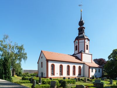
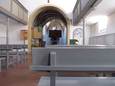
Kirche Machern, church building in Machern, Saxony, Germany
Posizione: Machern
Inizio: 1300
Indirizzo: Kirchgasse -
Coordinate GPS: 51.36104,12.62713
Ultimo aggiornamento: 31 marzo 2025 alle 23:08
Stadtkirche Brandis
3.2 km
Kirche Gerichshain
3.1 km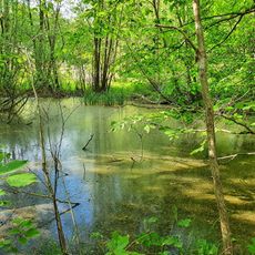
Pond on the Black Road
2.8 km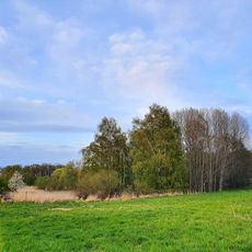
Quellgebiet Plagwitzer Weg
1.5 km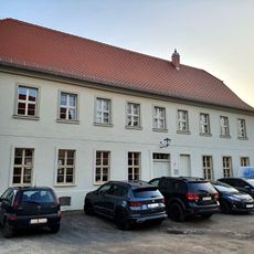
Kirchplatz 3
3.2 km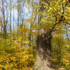
Oak on pond Machern
474 m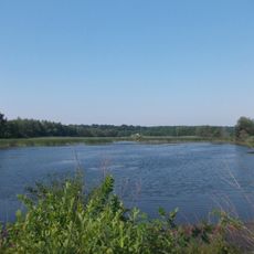
Lübschützer Teiche - Tresenwald
2.1 km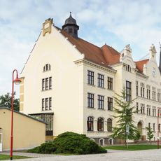
Gymnasium Brandis
3.5 km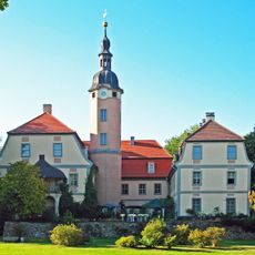
Sachgesamtheit Schloss und Park Machern mit folgenden Einzeldenkmalen: Schloss (Nr. 1), Orangerie (Nr. 3), sogenannte Ritterburg (mit Turm), zwei Tempel, künstliche Ruine (genannt Wilhelms Ruh), Pyramide (Mausoleum), Lindenau-Denkmal und Rittergrab
203 m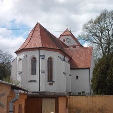
St. Laurentius
4.1 km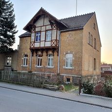
Weststraße 1
3.8 km
Militärflugplatz Waldpolenz (ehem.)
3.4 km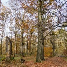
Rotbuchen im Gotenholz, Machern
1.3 km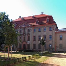
Schloss Brandis
3.5 km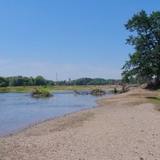
Vereinigte Mulde und Muldeauen
3.6 km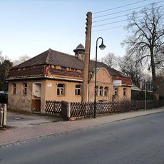
Töpfergasse 2
3.7 km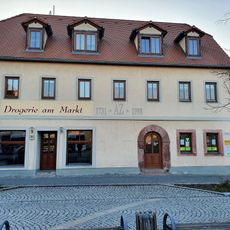
Markt 13, Brandis
3.2 km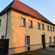
Kirchplatz 1, Brandis
3.2 km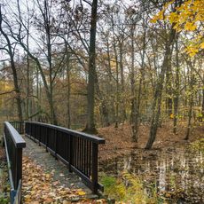
Teich- und Waldgebiete um Machern und Brandis
1.5 km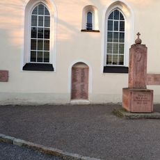
Gefallenendenkmal am Kirchplatz Brandis
3.2 km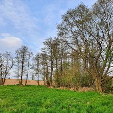
Wiese am Iristeich
2.2 km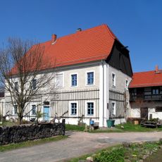
Rittergut Leulitz
4.1 km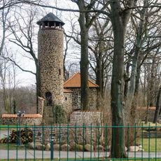
Wohnhaus und Gartenhaus mit Aussichtsturm Burgunderteich 1
1.6 km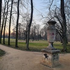
Stadtpark mit Vase Am Bahnhof -
3.7 km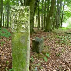
Distanzstein Tresenwald
2.2 km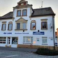
Markt 15
3.2 km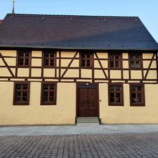
Hauptstraße 10, Brandis
3.2 km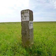
Wegestein Plagwitz
3.2 kmRecensioni
Ha visitato questo luogo? Tocchi le stelle per valutarlo e condividere la Sua esperienza o foto con la community! Provalo ora! Puoi annullarlo in qualsiasi momento.
Scopri tesori nascosti ad ogni viaggio!
Da piccoli caffè caratteristici a panorami nascosti, fuggi dalla folla e scova i posti che fanno davvero per te. La nostra app ti semplifica tutto: ricerca vocale, filtri furbi, percorsi ottimizzati e dritte autentiche da viaggiatori di tutto il mondo. Scaricala subito per vivere l'avventura sul tuo smartphone!

Un nuovo approccio alla scoperta turistica❞
— Le Figaro
Tutti i luoghi che meritano di essere esplorati❞
— France Info
Un’escursione su misura in pochi clic❞
— 20 Minutes