
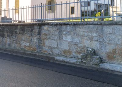
Friedhofsmauer St. Georg, Historische Mauer im Landkreis Ansbach in Bayern
Posizione: Steinsfeld
Parte di: St. Georg
Coordinate GPS: 49.41640,10.15250
Ultimo aggiornamento: 3 marzo 2025 alle 08:56
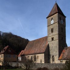
St. Peter and St. Paul's Church
3.4 km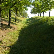
Oppidum Finsterlohr
3.4 km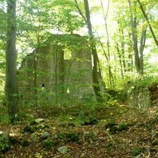
Burg Seldeneck
549 m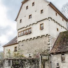
Detwang 29
3.4 km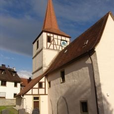
St. Georg
28 m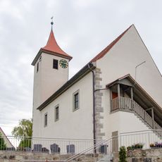
St. Nikolaus (Adelshofen)
3.1 km
Burgstall
3.1 km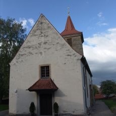
St. Michael
3.2 km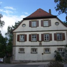
Evangelisch-lutherisches Pfarrhaus (Gattenhofen)
3.2 km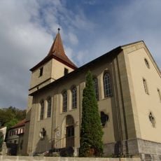
St. Johannes Baptist
2.6 km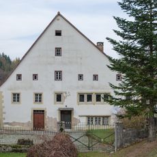
Creglinger Straße 1
2.9 km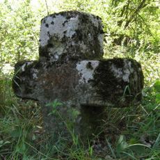
Steinkreuz bei Gattenhofen
3.2 km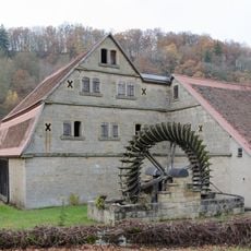
Scheune Creglinger Straße 1 in Rothenburg ob der Tauber
2.9 km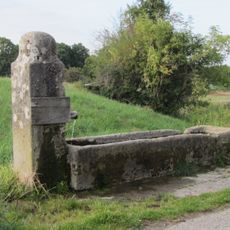
Stäffeleinsbrunnen
3.3 km
Cultural heritage D-5-6527-0207 in Steinsfeld
2 km
Salznersmühle
2.8 km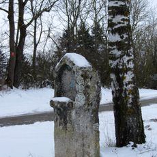
Bildstock am Walnußweg bei Rothenburg ob der Tauber
2.2 km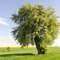
Birnbaum Hohbach
2 km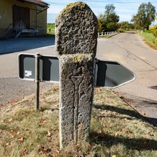
Bildstock Gattenhofen
3 km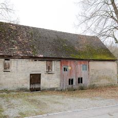
Zweigeschossiger Anbau
3.4 km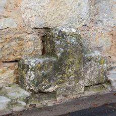
Steinkreuz in Bettwar
3 m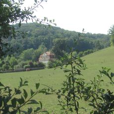
Gutshof Hohbach, Gutshaus
1.9 km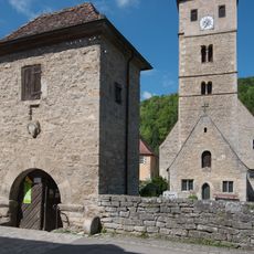
Friedhofsmauer Detwang 31 in Rothenburg ob der Tauber
3.4 km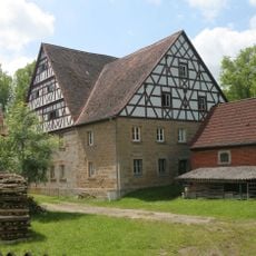
Detwang 30
3.4 km
Taubertal nördlich Rothenburg und Steinbachtal
2.2 km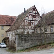
Wassermühle, Wohn- und Mühlengebäude
2 km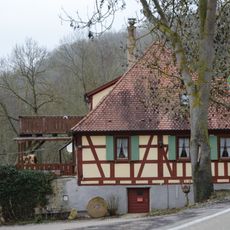
Walkmühle, Creglinger Straße 2
2.4 km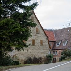
Weißenmühle
1.3 kmHa visitato questo luogo? Tocchi le stelle per valutarlo e condividere la Sua esperienza o foto con la community! Provalo ora! Puoi annullarlo in qualsiasi momento.
Scopri tesori nascosti ad ogni viaggio!
Da piccoli caffè caratteristici a panorami nascosti, fuggi dalla folla e scova i posti che fanno davvero per te. La nostra app ti semplifica tutto: ricerca vocale, filtri furbi, percorsi ottimizzati e dritte autentiche da viaggiatori di tutto il mondo. Scaricala subito per vivere l'avventura sul tuo smartphone!

Un nuovo approccio alla scoperta turistica❞
— Le Figaro
Tutti i luoghi che meritano di essere esplorati❞
— France Info
Un’escursione su misura in pochi clic❞
— 20 Minutes