
Chetwode, village in Aylesbury Vale, Buckinghamshire, United Kingdom
Posizione: Buckinghamshire
Coordinate GPS: 51.96000,-1.06600
Ultimo aggiornamento: 12 aprile 2025 alle 13:50
Church of All Saints
4.3 km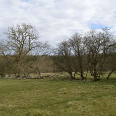
Tingewick Meadows
2 km
Church of St Mary and St Edburga, Stratton Audley
4.8 km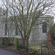
Church of Holy Trinity
4.4 km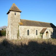
Church of Holy Trinity
1.6 km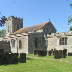
Church of St Mary (Assumption of the Blessed Virgin Mary), Twyford
3.6 km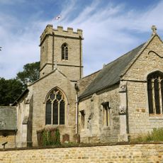
Church of St Mary Magdalen
3.9 km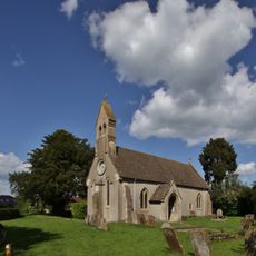
Church of St Michael
2.2 km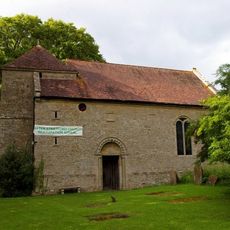
Church of St Giles
4.9 km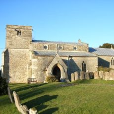
Church of St John the Baptist
1.6 km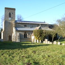
Church of St Michael and All Angels
3.6 km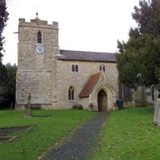
Church of St Michael
3.7 km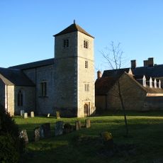
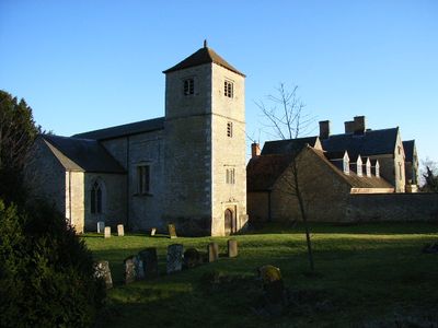
Church of St Mary and St Nicholas
404 m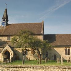
Church of St Edmund and George
5 km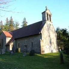
Church of St James
1.5 km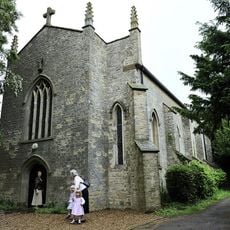
Church of Holy Trinity (Roman Catholic)
5.4 km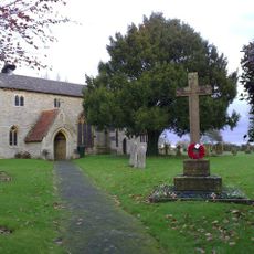
Finmere War Memorial in Churchyard of Church of St Michael and All Angels
3.7 km
The Crown
3.7 km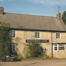
Whitmore Arms Public House
5 km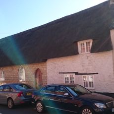
Sunday School And Cottage To West
3.7 km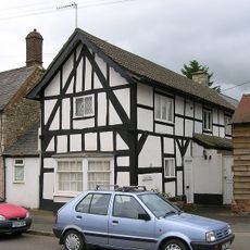
Durrants
3.7 km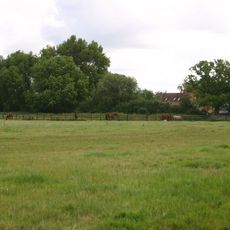
Twyford Mill
2.8 km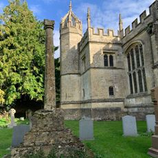
Cross In Churchyard
4.3 km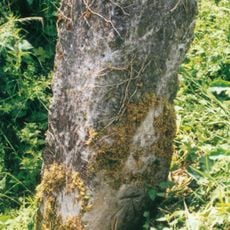
Milestone, The Pits, 100m W of Mixbury turn
5.4 km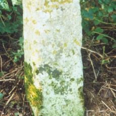
Milestone, W edge of Finmere Village, opp. boundary fence of school
3.3 km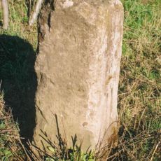
Milestone, old railway bridge, Mixbury Plantation, near turn to Widmore Farm
4.1 km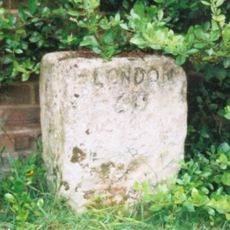
Milestone, Main Street; by The Hollies, W end of village
3.6 km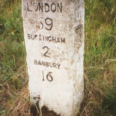
Milestone, Tingewick Road; by lane to Grovehill Farm, Dudley Bridge
4.6 kmRecensioni
Ha visitato questo luogo? Tocchi le stelle per valutarlo e condividere la Sua esperienza o foto con la community! Provalo ora! Puoi annullarlo in qualsiasi momento.
Scopri tesori nascosti ad ogni viaggio!
Da piccoli caffè caratteristici a panorami nascosti, fuggi dalla folla e scova i posti che fanno davvero per te. La nostra app ti semplifica tutto: ricerca vocale, filtri furbi, percorsi ottimizzati e dritte autentiche da viaggiatori di tutto il mondo. Scaricala subito per vivere l'avventura sul tuo smartphone!

Un nuovo approccio alla scoperta turistica❞
— Le Figaro
Tutti i luoghi che meritano di essere esplorati❞
— France Info
Un’escursione su misura in pochi clic❞
— 20 Minutes