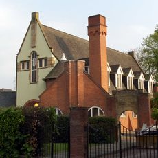
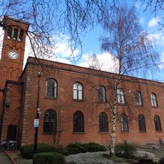
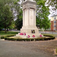
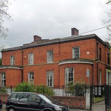
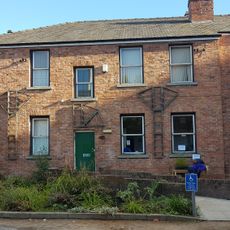
Chorlton-on-Medlock, inner city area of Manchester, England
Posizione: Manchester
Coordinate GPS: 53.46667,-2.21667
Ultimo aggiornamento: 2 aprile 2025 alle 09:54
O2 Apollo Manchester
492 m
Manchester Academy
1.1 km
Victoria Baths
742 m
Alan Turing Building
989 m
Church of the Holy Name of Jesus, Manchester
986 m
84 Plymouth Grove
423 m
Centro Pankhurst
819 m
Upper Brook Street Chapel, Manchester
1 km
Edgar Wood Centre
976 m
Stopford Building
986 m
St Chrysostom's Church
1 km
Schuster Laboratory
933 m
Ardwick Green
751 m
Former Nicholls Hospital including gymnasium, governor's house, stone setted and flagged forecourt, boundary walls and gates, stone gate piers on Ford Street and Devonshire Street, and two granite memorials in the forecourt
264 m
Grove House, Manchester
1 km
Anglican Church of St Benedict
899 m
Elizabeth Gaskell's House
460 m
Holy Trinity Armenian Church of Manchester
647 m
Former Church of St Thomas
830 m
Roman Catholic Church of St Joseph
706 m
Milepost Beside Railings Of Ardwick Park
770 m
323-7, Oxford Road
1 km
War Memorial
867 m
Royal Infirmary (Cobbett H, Admin/Drs Res Block, X Ray Teaching Block And Chapel)
962 m
Addison Terrace
905 m
Court Nursing Home
504 m
Railings Of Ardwick Green
666 m
60, Nelson Street
810 mHa visitato questo luogo? Tocchi le stelle per valutarlo e condividere la Sua esperienza o foto con la community! Provalo ora! Puoi annullarlo in qualsiasi momento.
Scopri tesori nascosti ad ogni viaggio!
Da piccoli caffè caratteristici a panorami nascosti, fuggi dalla folla e scova i posti che fanno davvero per te. La nostra app ti semplifica tutto: ricerca vocale, filtri furbi, percorsi ottimizzati e dritte autentiche da viaggiatori di tutto il mondo. Scaricala subito per vivere l'avventura sul tuo smartphone!
Un nuovo approccio alla scoperta turistica❞
— Le Figaro
Tutti i luoghi che meritano di essere esplorati❞
— France Info
Un’escursione su misura in pochi clic❞
— 20 Minutes