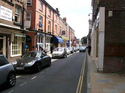
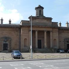
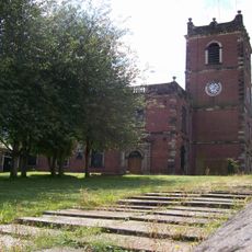
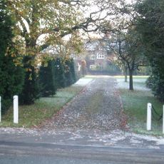
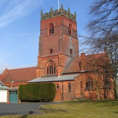
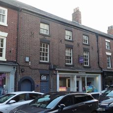
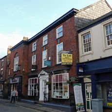
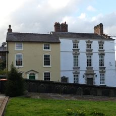
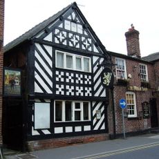
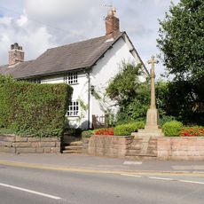
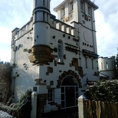
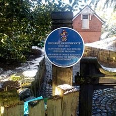
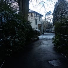
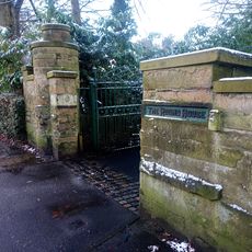
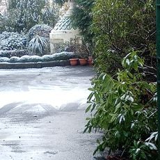
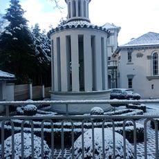
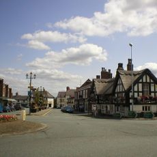
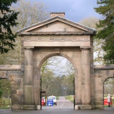
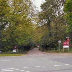
Knutsford, town in Cheshire, England, United Kingdom
Posizione: Cheshire East
Confina con: Tatton, Mobberley, Marthall, Ollerton, Toft, Bexton, Tabley Superior, Mere
Sito web: http://knutsfordtowncouncil.gov.uk
Coordinate GPS: 53.30250,-2.37083
Ultimo aggiornamento: 12 marzo 2025 alle 17:29
Sessions House
228 m
St John the Baptist's Church, Knutsford
153 m
Dukenfield Hall
2.2 km
St Cross Church, Knutsford
274 m
Brook Street Chapel, Knutsford
102 m
Bexton Hall
1.6 km
Gaskell Memorial Tower and King's Coffee House
225 m
10A, Princess Street
314 m
8 and 10, Princess Street
306 m
12, Princess Street
320 m
Cemetery Chapel
2.1 km
1 and 2, Church Hill
174 m
Knutsford Library
81 m
Ruskin Rooms
503 m
The White Lion Public House
395 m
Over Knutsford War Memorial
314 m
Sundial in churchyard to south west of Church of St John the Baptist
201 m
High Morland Lodge
630 m
Chantry Dane
680 m
The Old Croft
931 m
The Round House
718 m
Boundary Wall And Entrance Gate Piers To The Round House
737 m
Gazebo In Garden To East Of The Round House
704 m
Heathwaite
524 m
Folly In Garden To South East Of Broad Terraces
716 m
The White Bear Public House
437 m
Knutsford Lodge Gateway and gates to Tatton Park
708 m
Lamp post at the junction of Mereheath Lane and Knutsford Drive
645 mHa visitato questo luogo? Tocchi le stelle per valutarlo e condividere la Sua esperienza o foto con la community! Provalo ora! Puoi annullarlo in qualsiasi momento.
Scopri tesori nascosti ad ogni viaggio!
Da piccoli caffè caratteristici a panorami nascosti, fuggi dalla folla e scova i posti che fanno davvero per te. La nostra app ti semplifica tutto: ricerca vocale, filtri furbi, percorsi ottimizzati e dritte autentiche da viaggiatori di tutto il mondo. Scaricala subito per vivere l'avventura sul tuo smartphone!
Un nuovo approccio alla scoperta turistica❞
— Le Figaro
Tutti i luoghi che meritano di essere esplorati❞
— France Info
Un’escursione su misura in pochi clic❞
— 20 Minutes