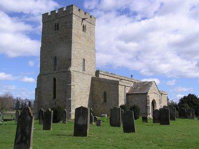
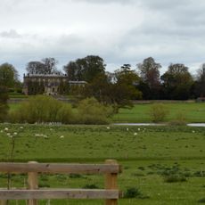
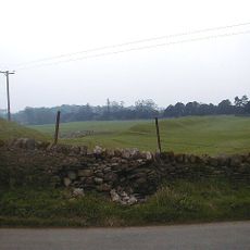
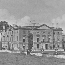
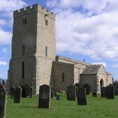
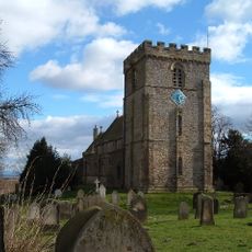
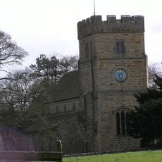
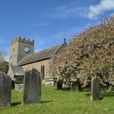
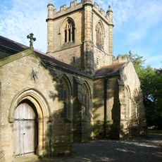
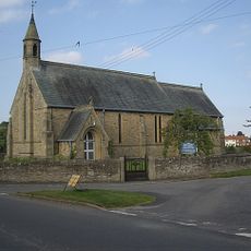
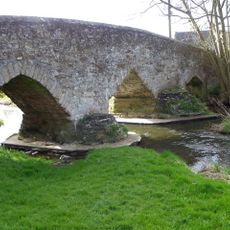
Stanwick St John, village, civil parish, former manor and ecclesiastical parish in the Richmondshire district of North Yorkshire
Posizione: Richmondshire
Coordinate GPS: 54.49818,-1.71303
Ultimo aggiornamento: 5 marzo 2025 alle 07:00
Forcett Hall
1.8 km
Stanwick Camp
397 m
Stanwick Park
195 m
Piercebridge Roman Fort
4.9 km
Ponte romano
5 km
St John the Baptist's Church, Stanwick
540 m
St James' Church, Melsonby
3.3 km
Piercebridge Roman Fort
4.9 km
Church of All Saints
4.1 km
Church of St Cuthbert
1.4 km
Christ Church
2.8 km
Church of St Mary
4.9 km
Church of St Paul
1.6 km
George Hotel
4.8 km
Carlbury Bridge
5.1 km
Ivy House
4.9 km
The Bridge House
4.8 km
Milepost South Of Carlbury Hall
5.2 km
Piercebridge Bridge
4.7 km
Round barrow 340m east of Cliffe Hall known as Betty Watson's Hill
4.5 km
28, The Green
4.9 km
2, The Green
5 km
Milestone, 110 Metres South Of Greystone Hall
5 km
Aldbrough St John Packhorse Bridge
1.5 km
Wall, Gate Piers, Overthrow And Lantern To West Of Church Of St Mary
4.9 km
Medieval Chapel Ruins On Roman Foundations In Rear Garden Of Bath House, Tees View
4.8 km
Dovecote
1.6 km
Milestone, S end of Melsonby village
3.7 kmRecensioni
Ha visitato questo luogo? Tocchi le stelle per valutarlo e condividere la Sua esperienza o foto con la community! Provalo ora! Puoi annullarlo in qualsiasi momento.
Scopri tesori nascosti ad ogni viaggio!
Da piccoli caffè caratteristici a panorami nascosti, fuggi dalla folla e scova i posti che fanno davvero per te. La nostra app ti semplifica tutto: ricerca vocale, filtri furbi, percorsi ottimizzati e dritte autentiche da viaggiatori di tutto il mondo. Scaricala subito per vivere l'avventura sul tuo smartphone!
Un nuovo approccio alla scoperta turistica❞
— Le Figaro
Tutti i luoghi che meritano di essere esplorati❞
— France Info
Un’escursione su misura in pochi clic❞
— 20 Minutes