
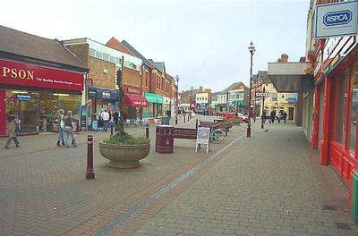
Long Eaton, town and unparished area in Erewash district, Derbyshire, England, UK
Posizione: Erewash
Confina con: Stapleford, Sawley, Breaston, Sandiacre, Risley
Coordinate GPS: 52.89900,-1.27100
Ultimo aggiornamento: 12 aprile 2025 alle 14:50
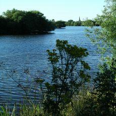
Attenborough Nature Reserve
2.4 km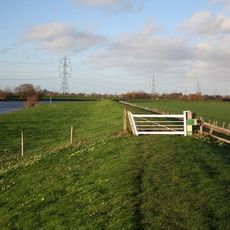
Trent Valley Way
3 km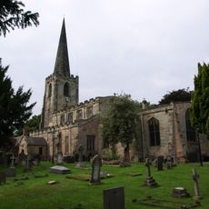
St. Mary's Church, Attenborough
2.8 km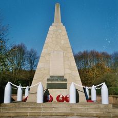
National Shell Filling Factory Memorial
2.3 km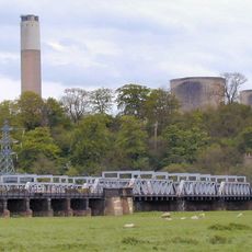
Trent Viaducts
2.9 km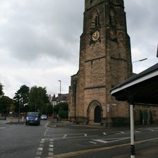
Christ Church Methodist Church
809 m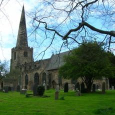
All Saints' Church, Sawley
3.1 km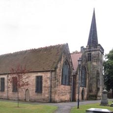
St. Laurence's Church, Long Eaton
33 m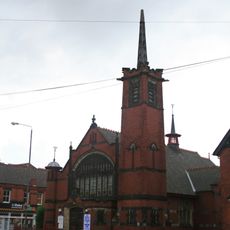
Oasis Christian Centre
513 m
The Hall
186 m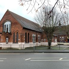
St James' Church, Long Eaton
595 m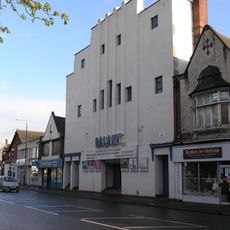
St James Theatre, Long Eaton
153 m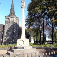
War Memorial to 6 Metres South West of St Laurences's Church
53 m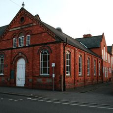
Christ Church Sunday School
832 m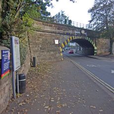
Tamworth Road Bridge (Spc6 19)
1.9 km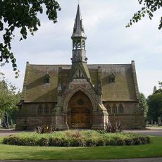
West Park Cemetery Chapels
446 m
Long Eaton Library
395 m
Springfield Mill Factory And Chimney
3 km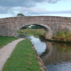
Canal Bridge At Sk 496 313
2.5 km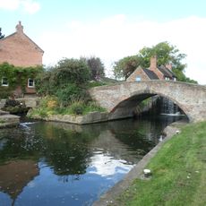
Bridge At Sandiacre Lock
2.2 km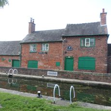
Lock Keeper's Cottage And Attached Outbuilding At Sandiacre Lock
2.2 km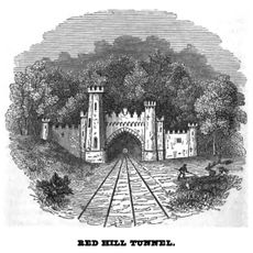
Redhill Tunnel North Portal
3 km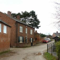
Beech House At Sandiacre Lock
2.2 km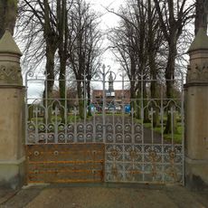
Gate Piers And Railings To West Park Cemetery
458 m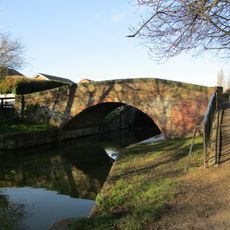
Canal Bridge At Sk 484 351
1.5 km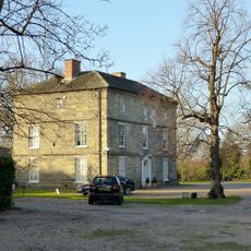
Bothe Hall
3 km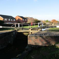
Lock At Sk 484 351
1.6 km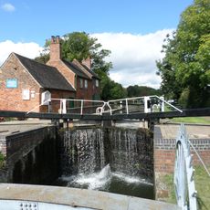
Sandiacre Lock
2.2 kmHa visitato questo luogo? Tocchi le stelle per valutarlo e condividere la Sua esperienza o foto con la community! Provalo ora! Puoi annullarlo in qualsiasi momento.
Scopri tesori nascosti ad ogni viaggio!
Da piccoli caffè caratteristici a panorami nascosti, fuggi dalla folla e scova i posti che fanno davvero per te. La nostra app ti semplifica tutto: ricerca vocale, filtri furbi, percorsi ottimizzati e dritte autentiche da viaggiatori di tutto il mondo. Scaricala subito per vivere l'avventura sul tuo smartphone!

Un nuovo approccio alla scoperta turistica❞
— Le Figaro
Tutti i luoghi che meritano di essere esplorati❞
— France Info
Un’escursione su misura in pochi clic❞
— 20 Minutes