
Whorlton, village and civil parish in County Durham, England, UK
Posizione: County Durham
Coordinate GPS: 54.53018,-1.83849
Ultimo aggiornamento: 10 marzo 2025 alle 00:05
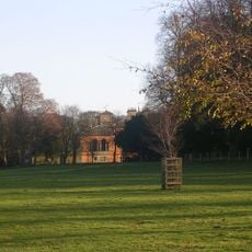
Rokeby Park
2.5 km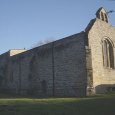
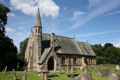
Church of St Mary
1.3 km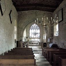
Roman Catholic Church of St Mary
2.5 km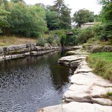
Dairy Bridge Over The River Greta
2.2 km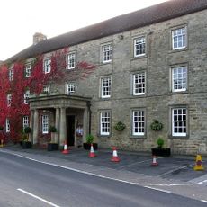
The Morritt Arms Hotel
2.7 km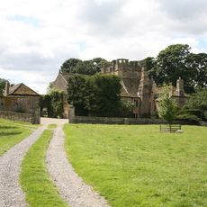
Mortham Tower
2.1 km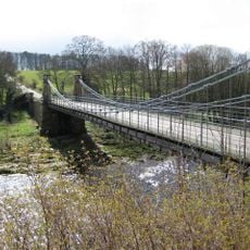
Whorlton Bridge
447 m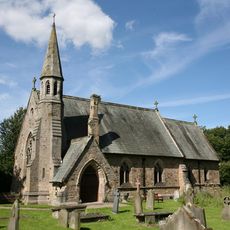
St Mary's Church, Whorlton
291 m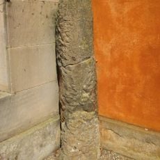
Roman Milestone Against West Wall Of Rokeby Park
2.4 km
Westholme Hall
4.4 km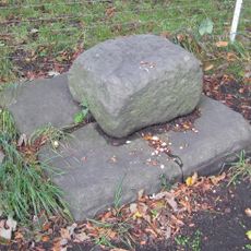
Base Stone Of Cross
3.9 km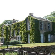
Newsham Hall
3.4 km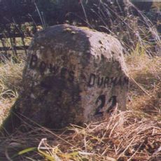
Milestone Approximately 150 Metres West Of Streatlam Castle South Lodges
4.3 km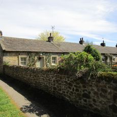
1-7, Grange Terrace
44 m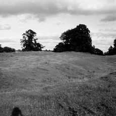
Greta Bridge Roman fort, vicus and section of Roman road
2.6 km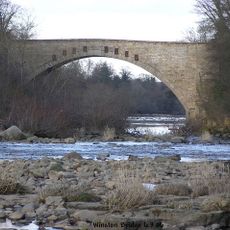
Winston Bridge
3.9 km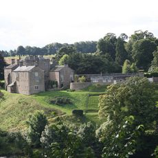
Wycliffe Hall
1.6 km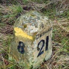
Milestone, 600 Metres North-East Of High Barford Farmhouse
3.9 km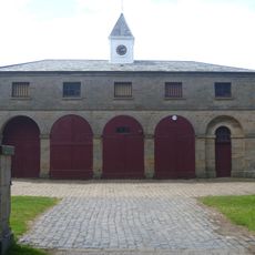
Stable Block 180 Metres South West Of Rokeby Park
2.6 km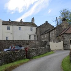
Wycliffe Old Rectory
1.3 km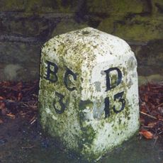
Milestone, 50 Metres North Of Arlaw Banks
2 km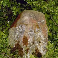
Milestone, 300 Metres East Of Junction With Mount Eff Road
3.3 km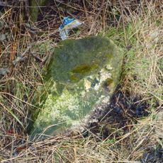
Milestone, 40 Metres West Of West Whorley Hill Farmhouse
1.6 km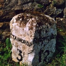
Milestone, 120 Metres South Of Junction With A67
3.8 km
Farmbuildings To East Of Mortham Tower And Attached Walls
2 km
Greta Bridge
2.7 km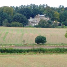
Stubb House
1.8 km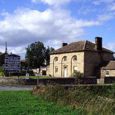
Thorpe Farmhouse and adjacent outbuildings
2.6 kmHa visitato questo luogo? Tocchi le stelle per valutarlo e condividere la Sua esperienza o foto con la community! Provalo ora! Puoi annullarlo in qualsiasi momento.
Scopri tesori nascosti ad ogni viaggio!
Da piccoli caffè caratteristici a panorami nascosti, fuggi dalla folla e scova i posti che fanno davvero per te. La nostra app ti semplifica tutto: ricerca vocale, filtri furbi, percorsi ottimizzati e dritte autentiche da viaggiatori di tutto il mondo. Scaricala subito per vivere l'avventura sul tuo smartphone!

Un nuovo approccio alla scoperta turistica❞
— Le Figaro
Tutti i luoghi che meritano di essere esplorati❞
— France Info
Un’escursione su misura in pochi clic❞
— 20 Minutes