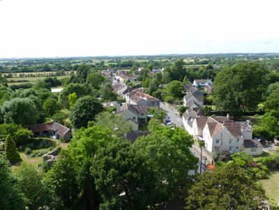
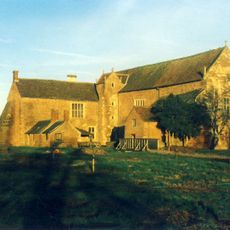
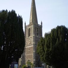
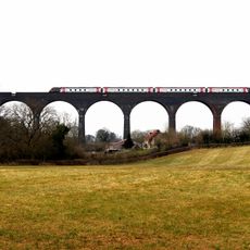
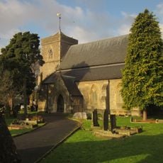
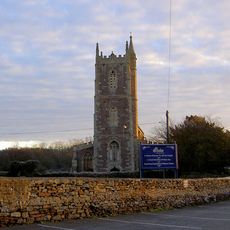
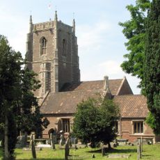
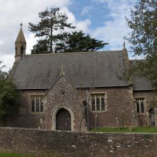
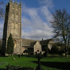
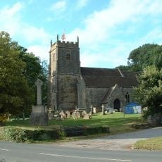
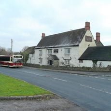
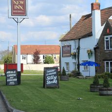
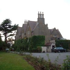
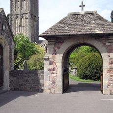
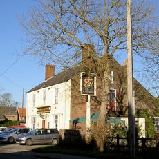
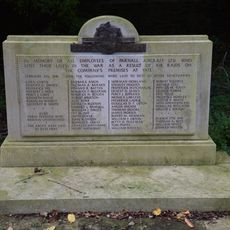
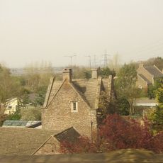
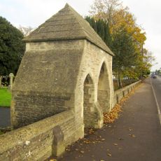
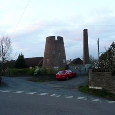
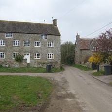
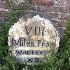
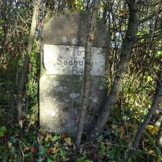
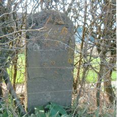
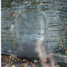
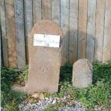
Iron Acton, village and civil parish in Gloucestershire, UK
Posizione: South Gloucestershire
Sito web: http://www.ironactonvillage.info/
Sito web: http://ironactonvillage.info
Coordinate GPS: 51.54900,-2.46300
Ultimo aggiornamento: 12 marzo 2025 alle 03:18
Acton Court
801 m
St Michael's Church, Winterbourne
4.6 km
Huckford Viaduct
4.2 km
Church of St Saviour
2.8 km
Church of St Peter
1.9 km
Church of St James the Less
73 m
Church of the Holy Trinity
2.9 km
Parish Church of St Mary the Virgin
3.4 km
Church of St James
5.1 km
Swan Inn
5 km
New Inn
1.6 km
Rangeworthy Court
2.9 km
War Memorial Lych Gate
3.5 km
Rose And Crown
2.9 km
War Memorial and Grave Marker, Church of St Mary's Churchyard
3.4 km
Tytherington War Memorial
5 km
Sign Of The Dolphin
3.7 km
Lychgate And Attached Walls About 30 Metres East Of Church Of St Saviour
2.8 km
Milestone At National Grid Reference St 6928 8850
5.2 km
Windmill In Garden Of Number 3
2.3 km
Hill Farmhouse
4.4 km
Milestones At North East Corner Of Garden Wall Circa 30 Metres East Of Laurel House
2.4 km
Milestone At National Grid Reference St 6904 8704
3.7 km
Milestone, Old Gloucester Road, between Frogland Cross & Brickhouse Farm
3.5 km
Milestone, Earthcott Green; W of jcn B4427
3.7 km
Milestone, Earthcott Green
3.6 km
Milestone, Cog Mill Farm, NW of farm
1.5 km
Milestone, Old Church Road
5.3 kmRecensioni
Ha visitato questo luogo? Tocchi le stelle per valutarlo e condividere la Sua esperienza o foto con la community! Provalo ora! Puoi annullarlo in qualsiasi momento.
Scopri tesori nascosti ad ogni viaggio!
Da piccoli caffè caratteristici a panorami nascosti, fuggi dalla folla e scova i posti che fanno davvero per te. La nostra app ti semplifica tutto: ricerca vocale, filtri furbi, percorsi ottimizzati e dritte autentiche da viaggiatori di tutto il mondo. Scaricala subito per vivere l'avventura sul tuo smartphone!
Un nuovo approccio alla scoperta turistica❞
— Le Figaro
Tutti i luoghi che meritano di essere esplorati❞
— France Info
Un’escursione su misura in pochi clic❞
— 20 Minutes