
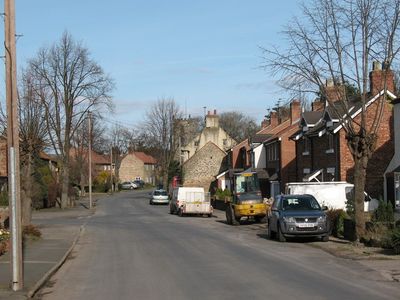
Wath, village and civil parish in Harrogate, North Yorkshire, England
Posizione: Harrogate
Coordinate GPS: 54.18862,-1.50490
Ultimo aggiornamento: 25 marzo 2025 alle 04:45

Lightwater Valley
4.5 km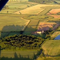
Thornborough Henges
4.4 km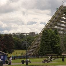
The Ultimate
4.5 km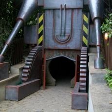
Raptor Attack
4.5 km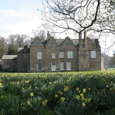
Norton Conyers House
948 m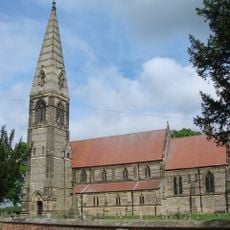
Church of St James
4.2 km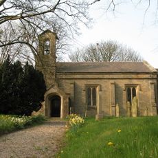
Church of St John the Evangelist
5.1 km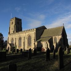
Church of St John the Evangelist
5 km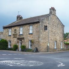
The Bruce Arms Inn
5.8 km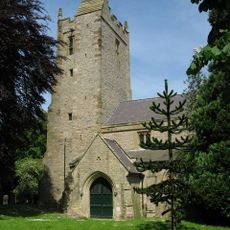
Church of St Michael
4 km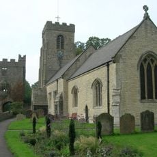
Church of St Nicholas
5.8 km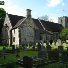
Church of St Mary
121 m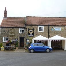
The Bull Inn
5.7 km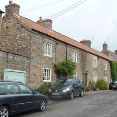
3, 4 and 5, Church Street
5.7 km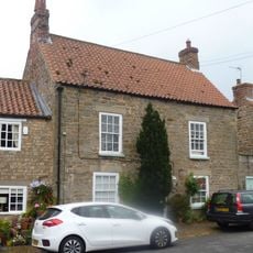
2, Church Street
5.7 km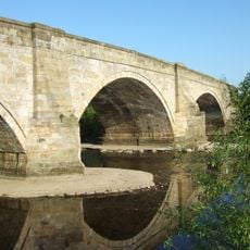
Tanfield Bridge
5.7 km
The Hall
4.3 km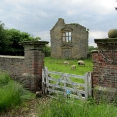
Boundary Wall With Gate-Piers To Old Hall
1.6 km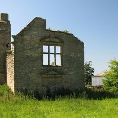
Middleton Quernhow Hall
1.6 km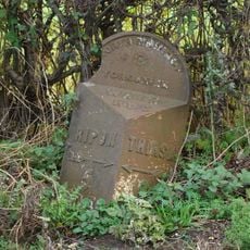
Mile Post Half A Mile South Of Baldersby Village
3 km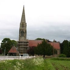
Lych Gate to Church of St James
4.2 km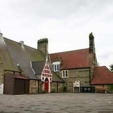
School And School House
4.2 km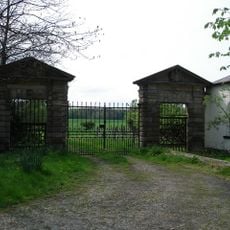
Gateway Adjacent To Wath Lodge
323 m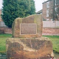
433 Squadron RCAF crash Memorial, Skipton-on-Swale
5 km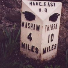
Milestone, Nosterfield, opp. Freemason's Arms PH
5.8 km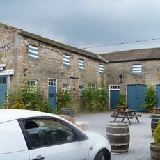
Stables To The Bruce Arms Inn
5.8 km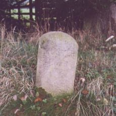
Guidestone, Musterfield
5.6 km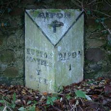
Milestone, A61 jct with Hutton Lane
4.7 kmHa visitato questo luogo? Tocchi le stelle per valutarlo e condividere la Sua esperienza o foto con la community! Provalo ora! Puoi annullarlo in qualsiasi momento.
Scopri tesori nascosti ad ogni viaggio!
Da piccoli caffè caratteristici a panorami nascosti, fuggi dalla folla e scova i posti che fanno davvero per te. La nostra app ti semplifica tutto: ricerca vocale, filtri furbi, percorsi ottimizzati e dritte autentiche da viaggiatori di tutto il mondo. Scaricala subito per vivere l'avventura sul tuo smartphone!

Un nuovo approccio alla scoperta turistica❞
— Le Figaro
Tutti i luoghi che meritano di essere esplorati❞
— France Info
Un’escursione su misura in pochi clic❞
— 20 Minutes