
Hartshorne, villaggio e parrocchia civile inglese, situata nella contea del Derbyshire
Posizione: South Derbyshire
Confina con: Repton, Bretby, Swadlincote, Woodville, Smisby, Ticknall
Coordinate GPS: 52.78900,-1.52600
Ultimo aggiornamento: 2 marzo 2025 alle 23:30
Calke Abbey
4.9 km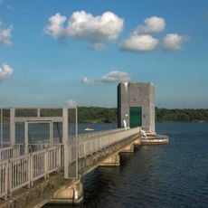
Foremark Reservoir
3.2 km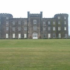
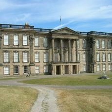
Bretby Hall
2.3 km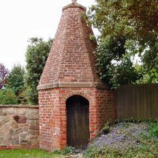
Smisby lock-up
3.6 km
Gresley Priory
4.3 km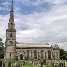
St George's Church, Ticknall
4.1 km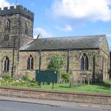
Parish Church of St Mary and Saint George
4.3 km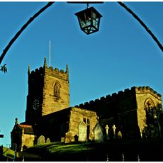
Church of St James
3.5 km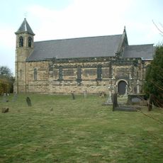
St Stephen's Church, Woodville
2.4 km
Parish Church of St Margaret of Antioch
3.4 km
Church of St Wystan
3.3 km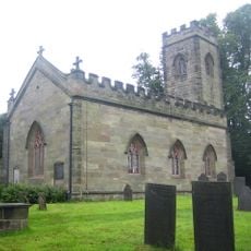
Church of St Giles, Calke
4.9 km
Church of St John
2.9 km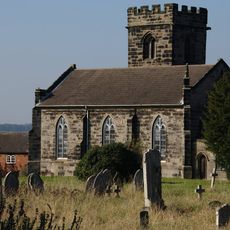
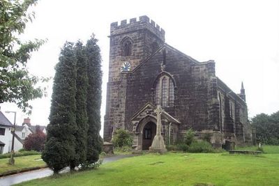
Church of St Peter
857 m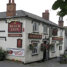
The Black Lion Public House
3.4 km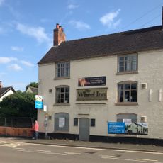
The Wheel Public House
4.2 km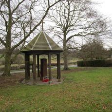
War Memorial and Pump
3.1 km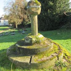
Churchyard cross 55 yards south of the Church of St George
4.1 km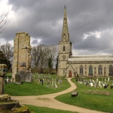
Medieval church and cross 45m south of St George's Church
4.1 km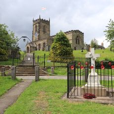
Smisby War Memorial
3.6 km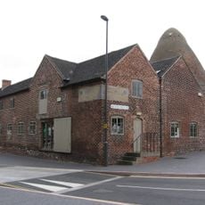
Sharpes Pottery Museum
2.8 km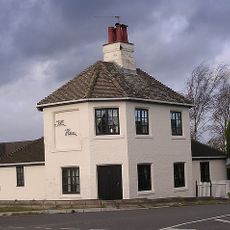
Toll House
2.8 km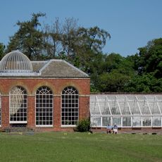
Conservatory, Attached Garden Walls And Tunnel
5.1 km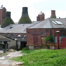
Four Bottle Kilns At Greens Pottery
3 km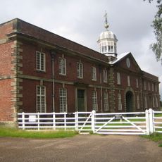
Stables And Riding School
4.8 km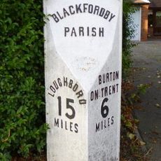
Milepost, Ashby Road; Woodville, by drive of No. 73
2.5 km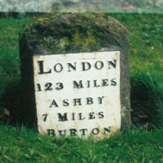
Milestone, Ashby Road East; outside No. 25, adj County Boundary
4.3 km
Milestone, Burton Road; Midway, by drive of No. 436
1.7 kmRecensioni
Ha visitato questo luogo? Tocchi le stelle per valutarlo e condividere la Sua esperienza o foto con la community! Provalo ora! Puoi annullarlo in qualsiasi momento.
Scopri tesori nascosti ad ogni viaggio!
Da piccoli caffè caratteristici a panorami nascosti, fuggi dalla folla e scova i posti che fanno davvero per te. La nostra app ti semplifica tutto: ricerca vocale, filtri furbi, percorsi ottimizzati e dritte autentiche da viaggiatori di tutto il mondo. Scaricala subito per vivere l'avventura sul tuo smartphone!

Un nuovo approccio alla scoperta turistica❞
— Le Figaro
Tutti i luoghi che meritano di essere esplorati❞
— France Info
Un’escursione su misura in pochi clic❞
— 20 Minutes