
Stapleford Tawney, village and civil parish in the Epping Forest district of Essex, England
Posizione: Epping Forest
Coordinate GPS: 51.66667,0.17167
Ultimo aggiornamento: 8 marzo 2025 alle 08:47
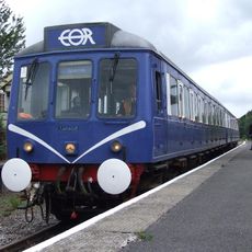
Epping Ongar Railway
5 km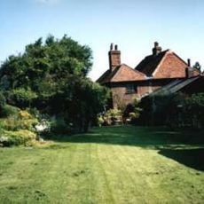
Dial House
5.2 km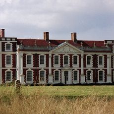
Hill Hall
1.6 km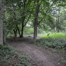
Roughtalley's Wood
5.1 km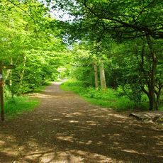
Gernon Bushes
5 km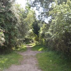
Curtismill Green
2.5 km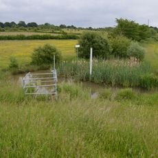
Weald Common Flood Meadows
5.3 km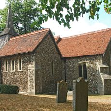
Church of St Mary, Stapleford Tawney
349 m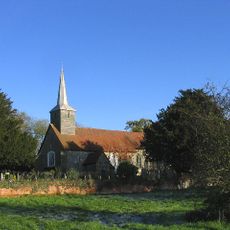
Church of St Margaret of Antioch
3.8 km
Church of St Michael The Archangel
1.2 km
Saint Alban's Church
4.7 km
Church of St Thomas the Apostle
3.8 km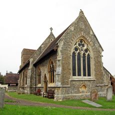
Parish Church of St Mary the Virgin, Stapleford Abbots
2.6 km
Theydon Oak Inn
4.3 km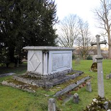
Church of All Saints Table Tomb In Churchyard Approximately 100 Feet North East Of Chancel To Sir Thomas Coxhead 1811
3.2 km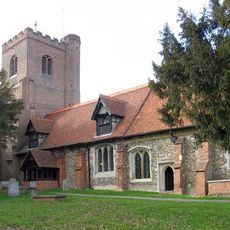
Church of All Saints
3.2 km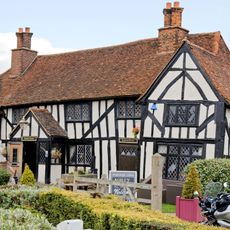
The Kings Head Public House
5.2 km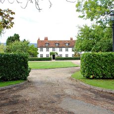
Lambourne Hall
3.5 km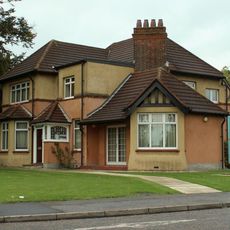
North Weald Airfield Museum
5.3 km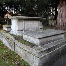
Church of All Saints Tombstone In Churchyard To Mrs E Rogers 1759 And R Rogers 1773
3.2 km
Church of All Saints, Tombstone In Churchyard 60 Feet North Of Stair Tower
3.2 km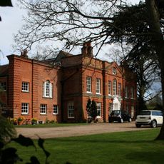
Lambourne Place
2.7 km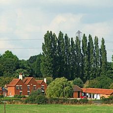
Skinners Farmhouse
1.5 km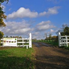
Gaynes Park
3.6 km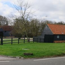
South Barn 60 Metres South Of Rose Hall Farmhouse
3.3 km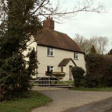
Brook Farm
3.4 km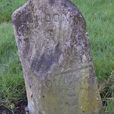
Milestone, High Road, jct with Park Close
5.2 km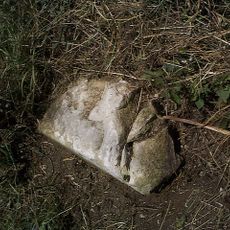
Milestone, 400m E of Piggots Farm
3.3 kmHa visitato questo luogo? Tocchi le stelle per valutarlo e condividere la Sua esperienza o foto con la community! Provalo ora! Puoi annullarlo in qualsiasi momento.
Scopri tesori nascosti ad ogni viaggio!
Da piccoli caffè caratteristici a panorami nascosti, fuggi dalla folla e scova i posti che fanno davvero per te. La nostra app ti semplifica tutto: ricerca vocale, filtri furbi, percorsi ottimizzati e dritte autentiche da viaggiatori di tutto il mondo. Scaricala subito per vivere l'avventura sul tuo smartphone!

Un nuovo approccio alla scoperta turistica❞
— Le Figaro
Tutti i luoghi che meritano di essere esplorati❞
— France Info
Un’escursione su misura in pochi clic❞
— 20 Minutes