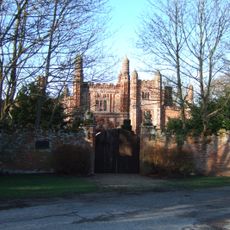
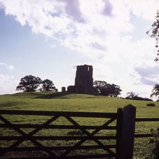
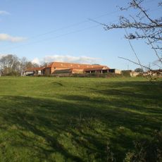
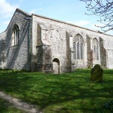
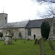
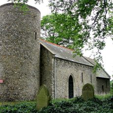
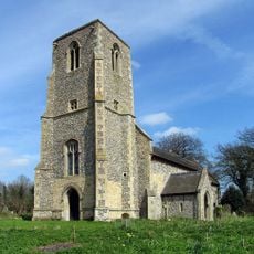
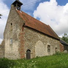
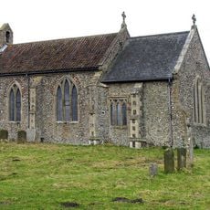
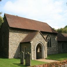
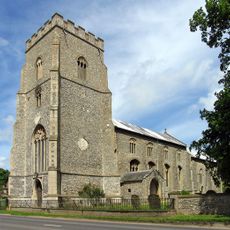
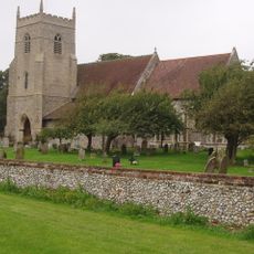
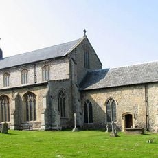
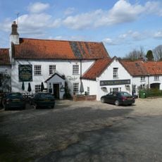
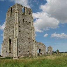
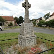
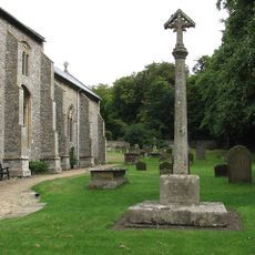
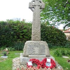
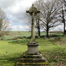
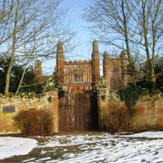
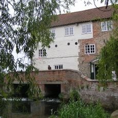
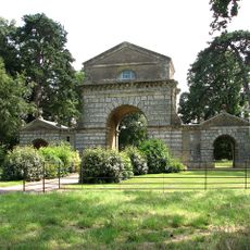
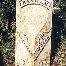
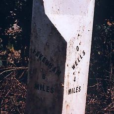
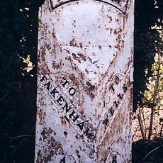
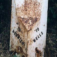
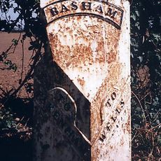
South Creake, villaggio e parrocchia civile dell'Inghilterra
Posizione: King's Lynn and West Norfolk
Coordinate GPS: 52.88475,0.76445
Ultimo aggiornamento: 7 marzo 2025 alle 06:56
East Barsham Manor
5.8 km
Creake Abbey
4 km
Egmere medieval settlement
4 km
Waterden medieval settlement remains
2.7 km
Church of All Saints
5.8 km
Church of St Mary
4 km
Church of All Saints
5.5 km
Church of St Peter
5.5 km
Church of All Saints
2.4 km
Church of All Saints
5.5 km
Church of the Assumption
4.7 km
Church of St Mary
2.3 km
Church of St Mary and All Saints
5.3 km
Church of St Mary
928 m
White Horse Public House And Adjoining Cottage
5.8 km
Ruins of Church of St Edmund
4 km
South Creake War Memorial
608 m
North Creake War Memorial
2.3 km
Syderstone War Memorial Cross
4 km
East Barsham (Griffith) War Memorial
5.9 km
East Barsham Manor Gatehouse
5.8 km
Mill House
6.1 km
The Triumphal Arch
4.5 km
Milepost, 150yds S of X-rds to W Barsham, opp. S end of layby
4.3 km
Milepost, 20yds S of double electricity pole whose wires cross road
5.1 km
Milepost, c.1/5 mile N of farm and X-tracks
3.6 km
Milepost, 150yds N of X-rds
5.8 km
Milepost, c.200yds N of Lodge Farm
5.8 kmRecensioni
Ha visitato questo luogo? Tocchi le stelle per valutarlo e condividere la Sua esperienza o foto con la community! Provalo ora! Puoi annullarlo in qualsiasi momento.
Scopri tesori nascosti ad ogni viaggio!
Da piccoli caffè caratteristici a panorami nascosti, fuggi dalla folla e scova i posti che fanno davvero per te. La nostra app ti semplifica tutto: ricerca vocale, filtri furbi, percorsi ottimizzati e dritte autentiche da viaggiatori di tutto il mondo. Scaricala subito per vivere l'avventura sul tuo smartphone!
Un nuovo approccio alla scoperta turistica❞
— Le Figaro
Tutti i luoghi che meritano di essere esplorati❞
— France Info
Un’escursione su misura in pochi clic❞
— 20 Minutes