
Skirpenbeck, village in the United Kingdom
Posizione: East Riding of Yorkshire
Coordinate GPS: 54.00364,-0.86211
Ultimo aggiornamento: 2 marzo 2025 alle 21:07
HM Prison Full Sutton
2.3 km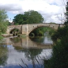
Stamford Bridge
3.8 km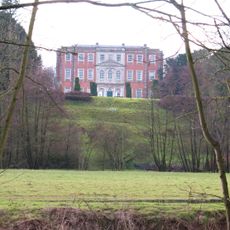
Aldby Park
2.2 km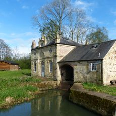
Howsham Mill
6 km
Church of St Mary
5.9 km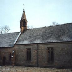
Church of St John the Evangelist
1.7 km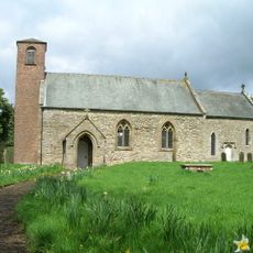
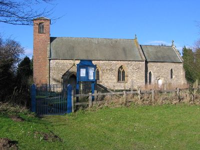
Church of Saint Mary
376 m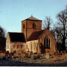
Church of St Botolph
4.7 km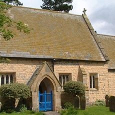
Church of St Mary
1.5 km
Church of St Andrew
2.7 km
Church of Saint Peter and Saint Paul
3.7 km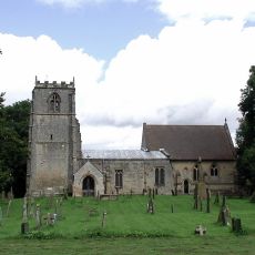
Church of All Saints
5.2 km
Church of St Martin
4.2 km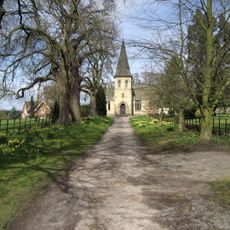
Church of St Mary
5.4 km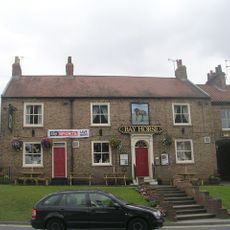
Bay Horse Inn
3.6 km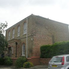
Wesleyan Methodist Chapel
3.7 km
Milestone, W of Gate Helmsley
5.2 km
Sand Hutton and Claxton War Memorial
5.2 km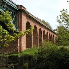
Stamford Bridge Railway Viaduct
4.1 km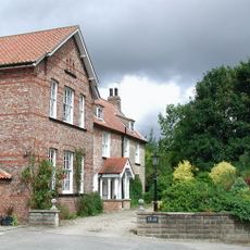
The Old Rectory
5.2 km
Part of Leppington medieval village, a moated site and site of the former parish church of St Helen
4.6 km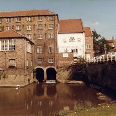
The Corn Mill
3.6 km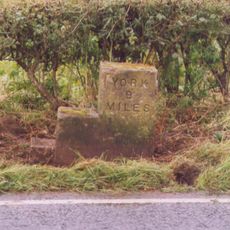
Milestone, Concrete Post, W of entrance to High Burtonfields Farm
2.2 km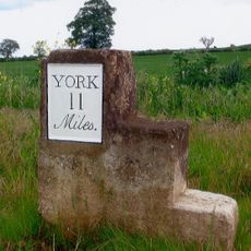
Milestone At Se 758562
1.4 km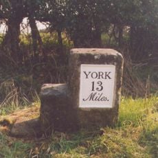
Milestone At Se 789566
4.3 km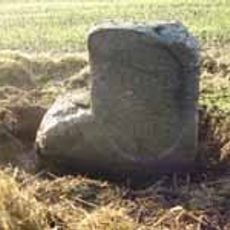
Milestone, just W of Full Sutton jct.
768 m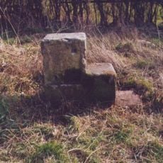
Milestone, 550m W of Barf Lane (to Bugthorpe)
2.8 km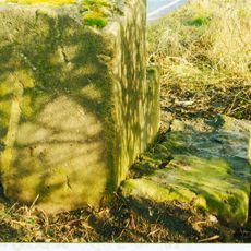
Milestone, Carved Stone Post, W of entrance to High Burtonfields Farm
2.2 kmHa visitato questo luogo? Tocchi le stelle per valutarlo e condividere la Sua esperienza o foto con la community! Provalo ora! Puoi annullarlo in qualsiasi momento.
Scopri tesori nascosti ad ogni viaggio!
Da piccoli caffè caratteristici a panorami nascosti, fuggi dalla folla e scova i posti che fanno davvero per te. La nostra app ti semplifica tutto: ricerca vocale, filtri furbi, percorsi ottimizzati e dritte autentiche da viaggiatori di tutto il mondo. Scaricala subito per vivere l'avventura sul tuo smartphone!

Un nuovo approccio alla scoperta turistica❞
— Le Figaro
Tutti i luoghi che meritano di essere esplorati❞
— France Info
Un’escursione su misura in pochi clic❞
— 20 Minutes