
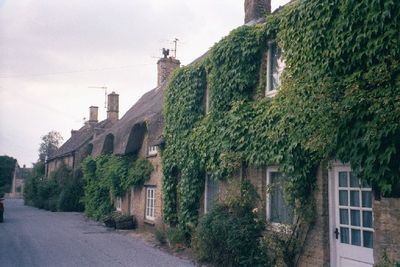
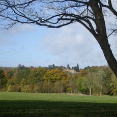
Chilson, hamlet and civil parish in West Oxfordshire, England
Posizione: West Oxfordshire
Confina con: Chadlington, Lyneham, Ascott-under-Wychwood, Cornbury and Wychwood, Charlbury, Spelsbury
Coordinate GPS: 51.87300,-1.53600
Ultimo aggiornamento: 12 marzo 2025 alle 08:51
Cornbury Park
4.1 km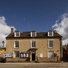
Charlbury Museum
3.7 km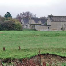
Ascot d'Oilly Castle
2 km
Ascott Earl Castle
2.6 km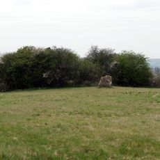
Lyneham Longbarrow
2.8 km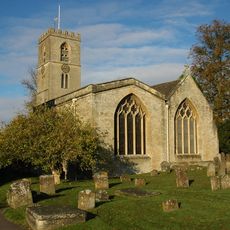
St Mary's Church, Charlbury
3.5 km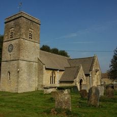
Church of the Holy Trinity
2.1 km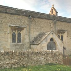
Church of All Saints
994 m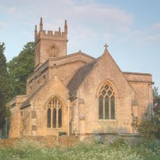
Church of St Nicholas
2.9 km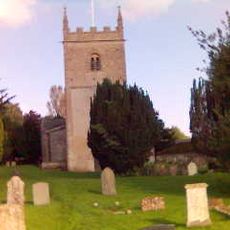
Church of All Saints, Spelsbury
3.5 km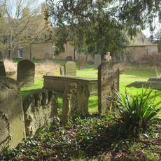
1, Park Street
3.6 km
White Hart Public House
3.6 km
Manor House
1.9 km
Grandchester House
3.6 km
The Old Rectory
3.5 km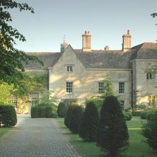
Manor House And Attached Walls And Outbuildings
2.8 km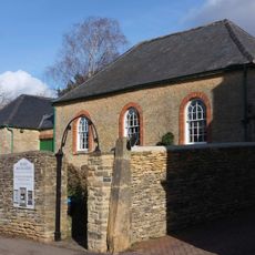
Quaker Meeting House
3.6 km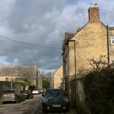
Queen's Own
3.5 km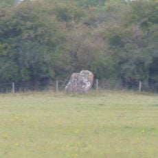
Lyneham long barrow and standing stone, 480m north east of Hill Barn
2.8 km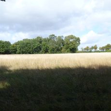
The Roundabout hillfort, 460m west of Barter's Hill Farm
2.9 km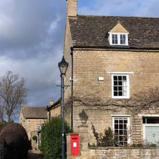
The Manor House
3.6 km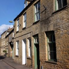
10 and 11, Market Street
3.7 km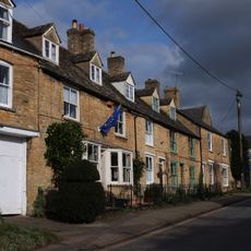
4-6, Dyers Hill
3.5 km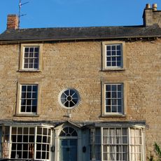
Gothic House
3.6 km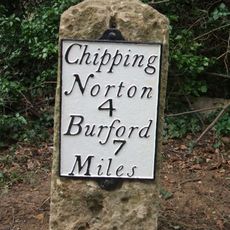
Milestone, Barters Hill Farm
2.8 km
Milestone, Forest Road; Dyers Hill, half mile W of Charlbury Station
2.2 km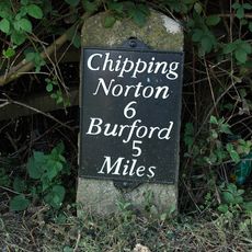
Milestone, Station Road; 20m S of turn to Shipton Mill
3.8 km
Milestone, Rangers Lawn
737 mRecensioni
Ha visitato questo luogo? Tocchi le stelle per valutarlo e condividere la Sua esperienza o foto con la community! Provalo ora! Puoi annullarlo in qualsiasi momento.
Scopri tesori nascosti ad ogni viaggio!
Da piccoli caffè caratteristici a panorami nascosti, fuggi dalla folla e scova i posti che fanno davvero per te. La nostra app ti semplifica tutto: ricerca vocale, filtri furbi, percorsi ottimizzati e dritte autentiche da viaggiatori di tutto il mondo. Scaricala subito per vivere l'avventura sul tuo smartphone!

Un nuovo approccio alla scoperta turistica❞
— Le Figaro
Tutti i luoghi che meritano di essere esplorati❞
— France Info
Un’escursione su misura in pochi clic❞
— 20 Minutes