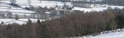
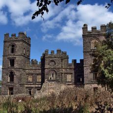
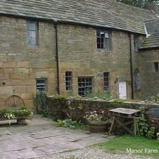
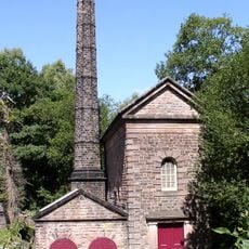
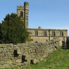
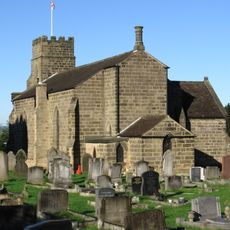
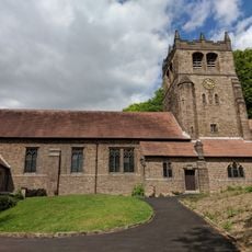
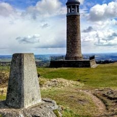
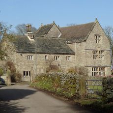
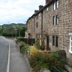
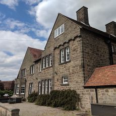
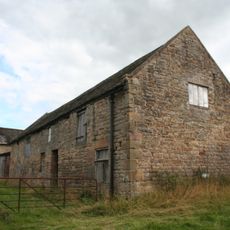
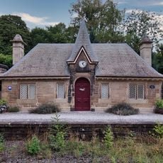
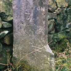
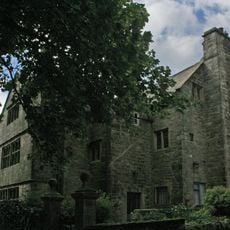
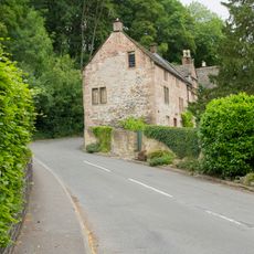
Dethick, Lea and Holloway, civil parish in Derbyshire Dales district, Derbyshire, England, UK
Posizione: Amber Valley
Confina con: Ashover, Tansley, Matlock Town, Cromford, Wirksworth, Alderwasley, Crich
Coordinate GPS: 53.11000,-1.51400
Ultimo aggiornamento: 10 marzo 2025 alle 04:02
Riber Castle
2.8 km
Dethick Manor
902 m
Leawood Pump House
1.8 km
St John the Baptist's Church
884 m
Holy Trinity Church, Tansley
2.9 km
Christ Church, Holloway
353 m
Sherwood Foresters Memorial Tower
2.5 km
Wigwell Aqueduct
1.8 km
The Jug and Glass Public House
493 m
Meerbrook sough portal 380m south west of Leashaw Farm
1.8 km
Metropolitan Police Public Call Post At The National Tramway Museum
2.8 km
Manor House
2.6 km
Nos. 1 and 2 The Row
475 m
Repton House
344 m
Outbuilding to the north north west of Babington Farmhouse
956 m
Cromford Station (Main Builidng On West Platform)
2.4 km
Footbridge At Cromford Station
2.4 km
Fishing Pavilion
2.6 km
Crich Stand Tower
2.5 km
Front garden wall and gate piers of Riber Hall
2.6 km
Barn to the north of Church Farmhouse
920 m
Cromford Canal engine house, engine and aqueduct
1.8 km
Barn of Riber Hall
2.6 km
Cromford Station (Building On East Platform)
2.3 km
Mile Stone 2 Miles From Wirksworth
2.3 km
Riber Hall
2.6 km
Bridge House
2.6 km
Lea Hall, Gatepier, And Boundary Wall To The North
805 mRecensioni
Ha visitato questo luogo? Tocchi le stelle per valutarlo e condividere la Sua esperienza o foto con la community! Provalo ora! Puoi annullarlo in qualsiasi momento.
Scopri tesori nascosti ad ogni viaggio!
Da piccoli caffè caratteristici a panorami nascosti, fuggi dalla folla e scova i posti che fanno davvero per te. La nostra app ti semplifica tutto: ricerca vocale, filtri furbi, percorsi ottimizzati e dritte autentiche da viaggiatori di tutto il mondo. Scaricala subito per vivere l'avventura sul tuo smartphone!
Un nuovo approccio alla scoperta turistica❞
— Le Figaro
Tutti i luoghi che meritano di essere esplorati❞
— France Info
Un’escursione su misura in pochi clic❞
— 20 Minutes