
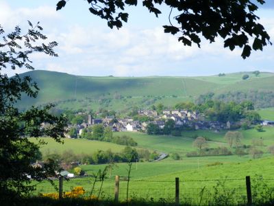
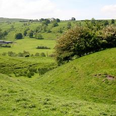
Longnor, village and civil parish in Staffordshire, UK
Posizione: Staffordshire Moorlands
Confina con: Hartington Middle Quarter, Sheen, Heathylee, Hollinsclough
Coordinate GPS: 53.18240,-1.86603
Ultimo aggiornamento: 14 marzo 2025 alle 19:15
Pilsbury Castle
2.6 km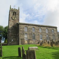
St Bartholomew's Church, Longnor
180 m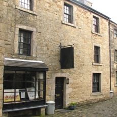
Parrots Restaurant
212 m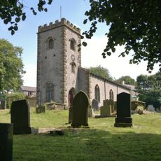
Church of St Michael
2 km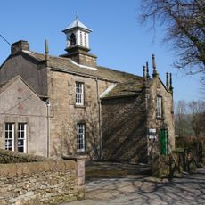
Church of St Agnes
2.9 km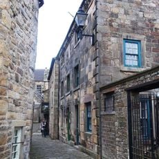
8, Chapel Street
207 m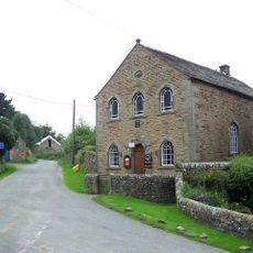
Bethel Chapel
3 km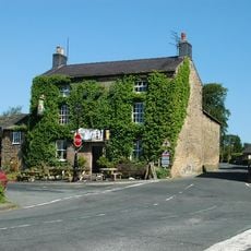
Horseshoe Inn
243 m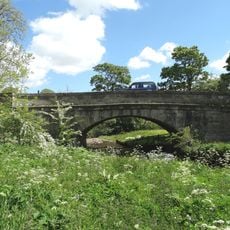
Piggenhole Bridge
2.5 km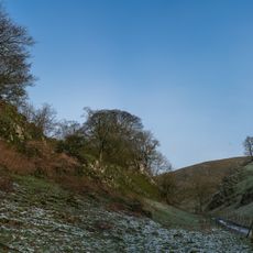
Dowel Cave
3 km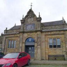
The Market Hall
199 m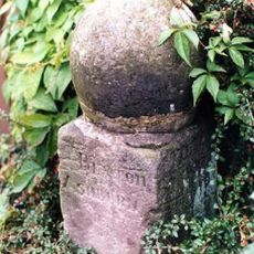
Milestone south of Longnor market place
245 m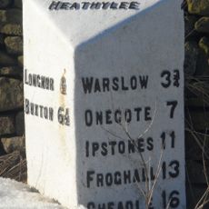
Mile Post, Longnor 1/2 Mile
679 m
Glutton Grange And Adjoining Barn
2.1 km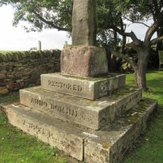
Knowsley Cross
1.6 km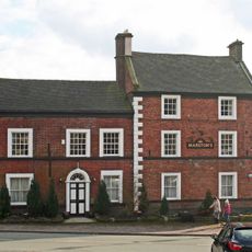
Crewe and Harpur Arms
233 m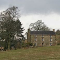
Over Boothlow Farmhouse
1.5 km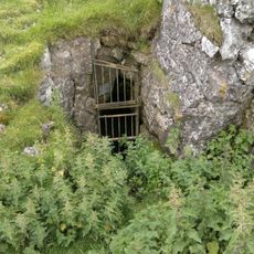
Fox Hole Cave
1.5 km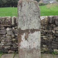
The Cross 7 metres west of Crewe And Harpur Arms
245 m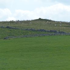
Cronkston Low bowl barrow
2.9 km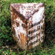
Mile Post (Longnor Half Mile)
938 m
Folds End Farmhouse
217 m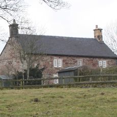
Ridge End Farmhouse
2.5 km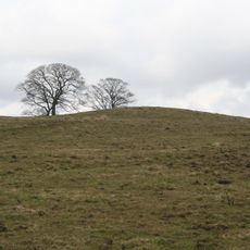
Bowl barrow 170m north of The Low
2.1 km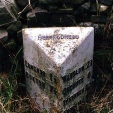
Milepost, Ridge Farm
2.2 km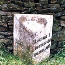
Milepost, W of Heath House
1.4 km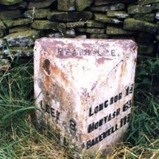
Milepost, near Lowe House, Barrow Moor
2.9 km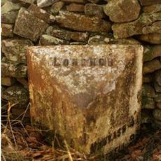
Milepost, E of Longnor, on road to Crowdecote
229 mHa visitato questo luogo? Tocchi le stelle per valutarlo e condividere la Sua esperienza o foto con la community! Provalo ora! Puoi annullarlo in qualsiasi momento.
Scopri tesori nascosti ad ogni viaggio!
Da piccoli caffè caratteristici a panorami nascosti, fuggi dalla folla e scova i posti che fanno davvero per te. La nostra app ti semplifica tutto: ricerca vocale, filtri furbi, percorsi ottimizzati e dritte autentiche da viaggiatori di tutto il mondo. Scaricala subito per vivere l'avventura sul tuo smartphone!

Un nuovo approccio alla scoperta turistica❞
— Le Figaro
Tutti i luoghi che meritano di essere esplorati❞
— France Info
Un’escursione su misura in pochi clic❞
— 20 Minutes