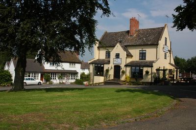
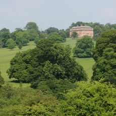
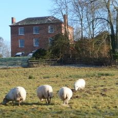
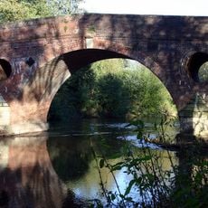
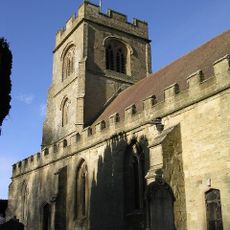
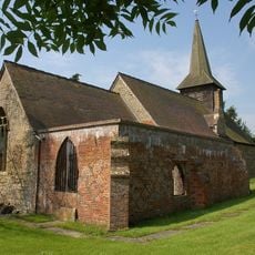
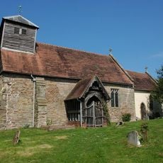
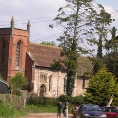
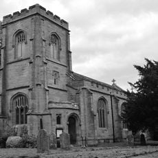
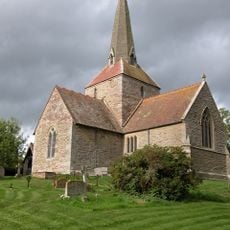
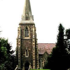
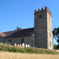
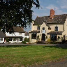
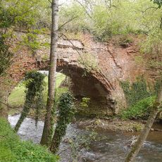
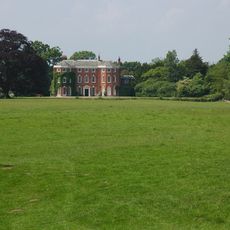
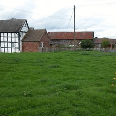
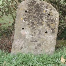
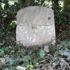
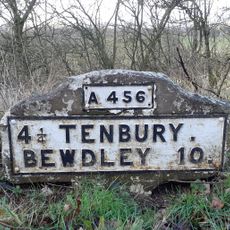
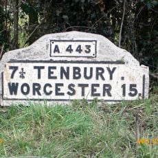
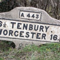
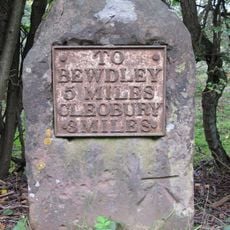
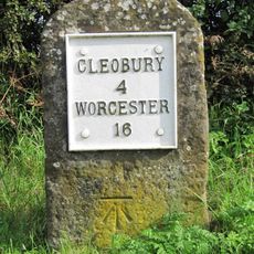
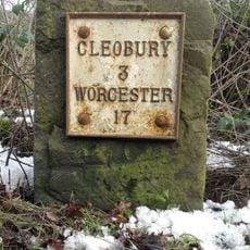
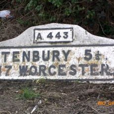
Mamble, village in the United Kingdom
Posizione: Malvern Hills
Coordinate GPS: 52.34070,-2.45660
Ultimo aggiornamento: 11 aprile 2025 alle 15:30
Mawley Hall
3.8 km
Sodington Hall
610 m
Eastham Bridge
3.9 km
Church of Saint Peter and Saint Paul
4.2 km
Rock Farm moated site, deserted medieval village and ridge and furrow, 100m SE of St Peter and St Paul's Church
4.3 km
Church of St John the Baptist, Mamble
183 m
Church of St Andrew
4.9 km
Church of St Peter and St Paul
4.3 km
Church of St James, Pensax
4.2 km
Church of All Saints
3.1 km
Church of St Lawrence
2.9 km
Church of St Bartholomew
1.7 km
The Sun And Slipper Public House
116 m
Rea Aqueduct At Ngr So 6511 7030 (That Part In Neen Sollars Cp)
4 km
Shakenhurst
2.3 km
Lower Langley Farmhouse
4 km
Milestone At Ngr So 6991 7487
3.5 km
Milestone, 150yds W of turn to Stanford Bridge
4.7 km
Milestone, roadside at SO6544569565
4 km
Milestone, E of Cutmill Bridge
3.6 km
Milestone, Linkhill Wood, S of "The Farm"
2.9 km
Milestone, W of Eastham Bridge
4.2 km
Milestone, Lodge Coppice; E of B4201
4.3 km
Milestone, Oak Farm; W of farm
4.5 km
Milestone, Cleobury Road, Clows Top
2.2 km
Milestone, between entrance to Carlton Farm and waterworks
2.9 km
Milestone, opp. drive to Woodston Farm
3.1 km
Milestone, Broombank, on line of old road
2.6 kmHa visitato questo luogo? Tocchi le stelle per valutarlo e condividere la Sua esperienza o foto con la community! Provalo ora! Puoi annullarlo in qualsiasi momento.
Scopri tesori nascosti ad ogni viaggio!
Da piccoli caffè caratteristici a panorami nascosti, fuggi dalla folla e scova i posti che fanno davvero per te. La nostra app ti semplifica tutto: ricerca vocale, filtri furbi, percorsi ottimizzati e dritte autentiche da viaggiatori di tutto il mondo. Scaricala subito per vivere l'avventura sul tuo smartphone!
Un nuovo approccio alla scoperta turistica❞
— Le Figaro
Tutti i luoghi che meritano di essere esplorati❞
— France Info
Un’escursione su misura in pochi clic❞
— 20 Minutes