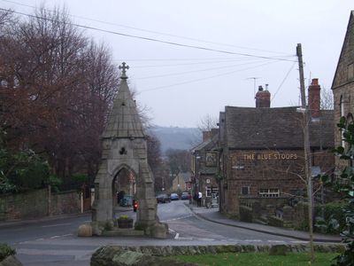
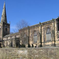
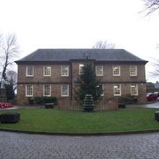
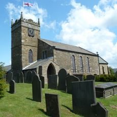
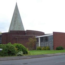
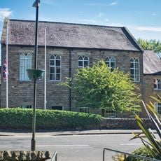
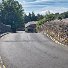
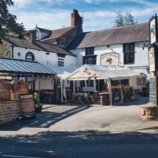
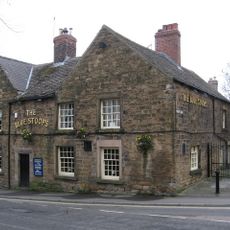
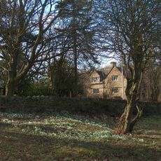
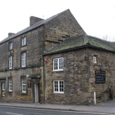
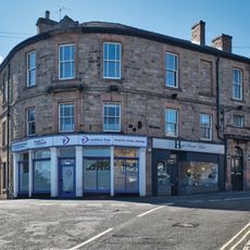
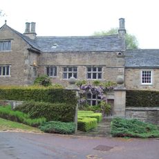
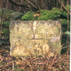
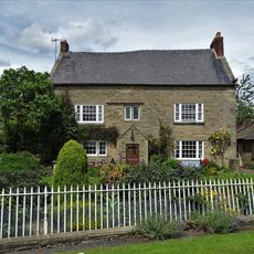
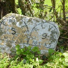
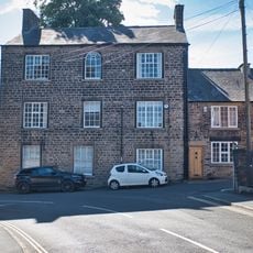
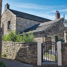
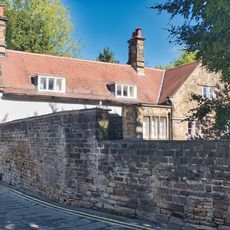
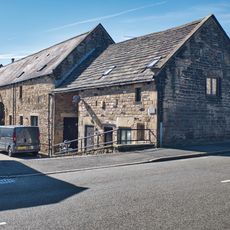
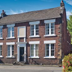
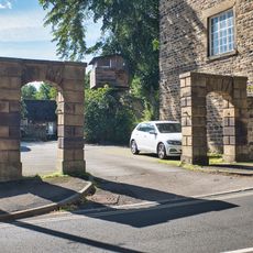
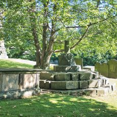
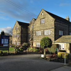
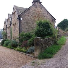
Dronfield, town and civil parish in North East Derbyshire, England
Posizione: North East Derbyshire
Confina con: Eckington, Unstone, Barlow, Holmesfield
Sito web: http://dronfield.gov.uk
Coordinate GPS: 53.30240,-1.46640
Ultimo aggiornamento: 4 marzo 2025 alle 02:27
St John the Baptist's Church, Dronfield
384 m
Dronfield Manor
657 m
St Swithin’s Church, Holmesfield
3.7 km
St Peter, Greenhill
2.9 km
Dronfield Methodist Church
576 m
Lea Road Bridge (Tjc1 26)
285 m
The Green Dragon Inn
452 m
The Blue Stoops Inn
565 m
Milestone, Greenhill Main Road, between James Andrew Close & James Andrew Crescent
2.9 km
Lee Bridge
3.3 km
The Monument
589 m
Woodthorpe Hall
4.2 km
The Manor Hotel
653 m
The Old Vicarage
481 m
Cartledge Grange
3.5 km
Milestone 650 Metres East Of The Robin Hood Inn
4.3 km
Lees Hall Farmhouse
2.8 km
Milestone, Rod Moor Road & Barnes Lane jct
3 km
Premises Occupied By The Slinn Computer Group
470 m
The Old Grammar School
504 m
Vale House
302 m
Manor Court
724 m
The Red House
482 m
Two Pairs Of Gatepiers To The East Of Premises Occupied By The Slinn Computer Group
459 m
Churchyard Cross, 20 Metres South Of The Church Of St John The Baptist
377 m
Hallowes Golf Clubhouse
1.1 km
Unstone Manor House
1.7 km
Milestone, Abbeydale Road South, Oldhay Brook Bridge, either side of boundary marker between parishes of Totley and Dore
4.3 kmHa visitato questo luogo? Tocchi le stelle per valutarlo e condividere la Sua esperienza o foto con la community! Provalo ora! Puoi annullarlo in qualsiasi momento.
Scopri tesori nascosti ad ogni viaggio!
Da piccoli caffè caratteristici a panorami nascosti, fuggi dalla folla e scova i posti che fanno davvero per te. La nostra app ti semplifica tutto: ricerca vocale, filtri furbi, percorsi ottimizzati e dritte autentiche da viaggiatori di tutto il mondo. Scaricala subito per vivere l'avventura sul tuo smartphone!
Un nuovo approccio alla scoperta turistica❞
— Le Figaro
Tutti i luoghi che meritano di essere esplorati❞
— France Info
Un’escursione su misura in pochi clic❞
— 20 Minutes