
Clotton Hoofield, civil parish in Cheshire West and Chester, Cheshire, England
Posizione: Cheshire West and Chester
Confina con: Willington, Utkinton and Cotebrook, Tarporley, Tiverton and Tilstone Fearnall, Hargrave and Huxley, Duddon and Burton
Coordinate GPS: 53.15800,-2.72800
Ultimo aggiornamento: 3 marzo 2025 alle 14:49
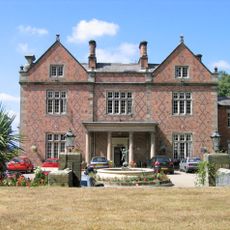
Willington Hall
3.9 km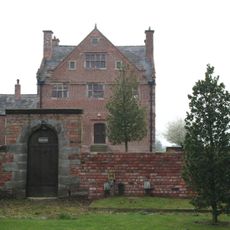
Burton Hall
1.5 km
Lower Huxley Hall
1.7 km
Duddon Old Hall
2.1 km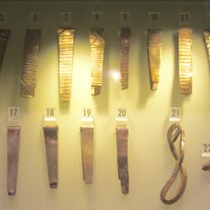
Huxley Hoard
1.3 km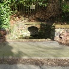
Salters Well
3.8 km
32 High Street, Tarporley
3.9 km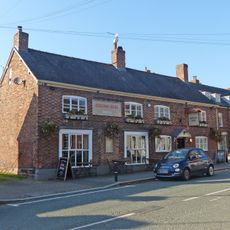
The Rising Sun
3.9 km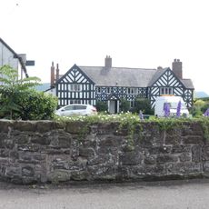
Brassey Green Hall
2.5 km
16, Northgate
4.4 km
31, High Street
4 km
Garden walls and gate piers to Rode Street House
3 km
Birch Heath Farmhouse
3.4 km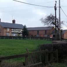
Brook House Farmhouse
2.1 km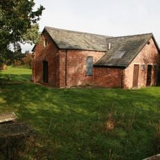
Brassey Green Baptist Chapel
2.3 km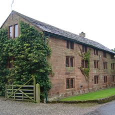
The Bailiff's House
4.3 km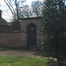
Garden wall and gateway at Burton Hall
1.4 km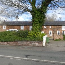
Coach House at Salters Well House
3.7 km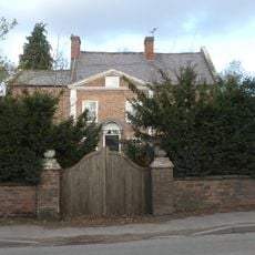
Rode Street House
3 km
31, 33 and 35, Forest Road
4 km
25–29, High Street
4 km
Done Recreation Room
3.9 km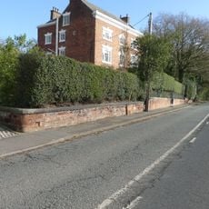
Wall, gate and screen of railings before Salters Well House
3.8 km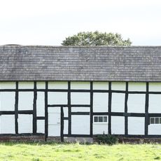
Barn at Brassey Green Hall
2.4 km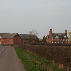
Hoofield Hall
267 m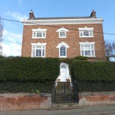
Salters Well House
3.8 km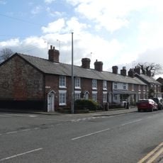
17–21, High Street
4 km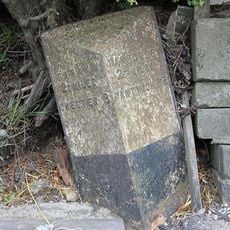
Milepost, Yewtree Farm
1.9 kmRecensioni
Ha visitato questo luogo? Tocchi le stelle per valutarlo e condividere la Sua esperienza o foto con la community! Provalo ora! Puoi annullarlo in qualsiasi momento.
Scopri tesori nascosti ad ogni viaggio!
Da piccoli caffè caratteristici a panorami nascosti, fuggi dalla folla e scova i posti che fanno davvero per te. La nostra app ti semplifica tutto: ricerca vocale, filtri furbi, percorsi ottimizzati e dritte autentiche da viaggiatori di tutto il mondo. Scaricala subito per vivere l'avventura sul tuo smartphone!

Un nuovo approccio alla scoperta turistica❞
— Le Figaro
Tutti i luoghi che meritano di essere esplorati❞
— France Info
Un’escursione su misura in pochi clic❞
— 20 Minutes