
Pencoed, comunità del Galles
Posizione: Bridgend County Borough
Coordinate GPS: 51.52280,-3.50474
Ultimo aggiornamento: 3 marzo 2025 alle 02:32

Church Of St Crallo
2.5 km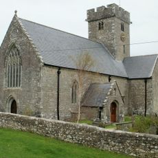
Church Of St Mary
3.3 km
Church of St Mary
2.2 km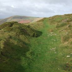
Mynydd y Gaer
3.9 km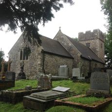
Church of SS Ilid and Curig
2.1 km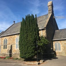
St David's Church
791 m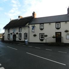
Star Inn
3.4 km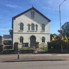
Salem Welsh Calvinisic Methodist Chapel
305 m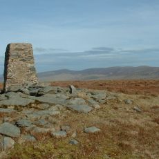
Cwm Llwyd
3.9 km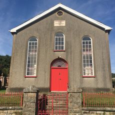
Zoar Calvinistic Methodist Chapel
3.2 km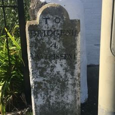
Milestone, Coychurch Road
534 m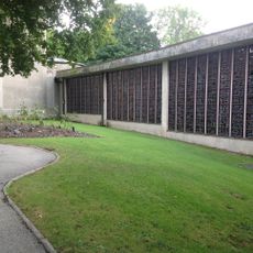
Coychurch Cemetery Capel Crallo And Capel Coity
2.8 km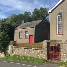
Zoar Chapel Vestry
3.2 km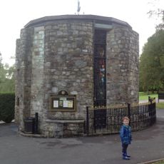
Coychurch Cemetery Chapel Of Remembrance
2.9 km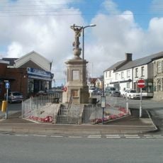
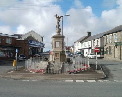
War Memorial and Railings
327 m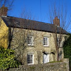
Treoes Farmhouse
3.4 km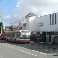
Pencoed Library
605 m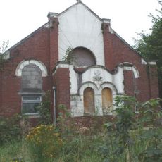
Bethany Calvinistic Methodist Chapel
3.7 km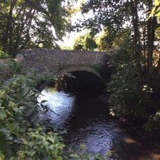
Bridge over Afon Ewenni
946 m
Ruthin English Calvinistic Methodist Chapel
2.4 km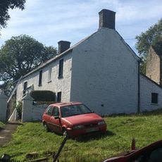
Wern Tarw and attached Cowhouse
3 km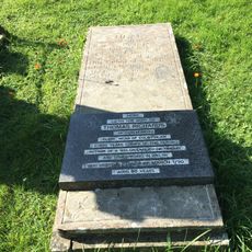
Tombstone of Thomas Richards in Coychurch churchyard
2.5 km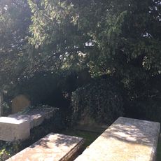
Group of 3 table tombs in Coychurch churchyard adjoining S porch
2.5 km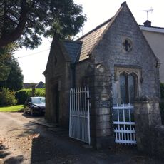
Brynffrwd Entrance and Lodge
2.8 km
Tŷ Mawr
2.8 km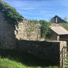
Barn at Wern Tarw
3 km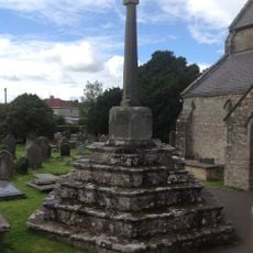
Churchyard Cross In Coychurch Churchyard
2.5 km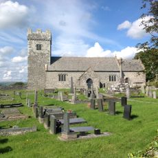
Churchyard Cross at Church of St Mary
2.2 kmHa visitato questo luogo? Tocchi le stelle per valutarlo e condividere la Sua esperienza o foto con la community! Provalo ora! Puoi annullarlo in qualsiasi momento.
Scopri tesori nascosti ad ogni viaggio!
Da piccoli caffè caratteristici a panorami nascosti, fuggi dalla folla e scova i posti che fanno davvero per te. La nostra app ti semplifica tutto: ricerca vocale, filtri furbi, percorsi ottimizzati e dritte autentiche da viaggiatori di tutto il mondo. Scaricala subito per vivere l'avventura sul tuo smartphone!

Un nuovo approccio alla scoperta turistica❞
— Le Figaro
Tutti i luoghi che meritano di essere esplorati❞
— France Info
Un’escursione su misura in pochi clic❞
— 20 Minutes