
Highwood, village and civil parish in Essex, UK
Posizione: Chelmsford
Coordinate GPS: 51.71050,0.37390
Ultimo aggiornamento: 11 aprile 2025 alle 04:14
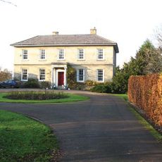
Sturgeons House
3.7 km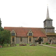
Church of St Laurence, Blackmore
4.5 km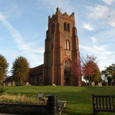
Church of St Edmund and St Mary, Ingatestone
4.5 km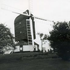
Fryerning Mill
3.3 km
Newney Green Pit
2.5 km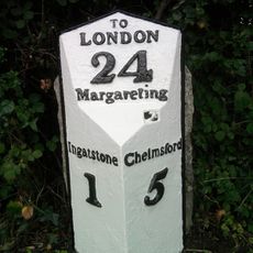
Milestone And Cover Plate 45 Metres South West Of Ivy Cottage
3.7 km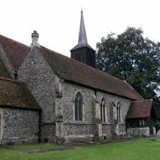
Church of St Michael and All Angels, Roxwell
4.5 km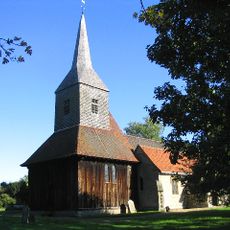
Church of St Margaret
4.3 km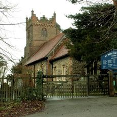
Church of St Mary the Virgin, Fryerning
3.9 km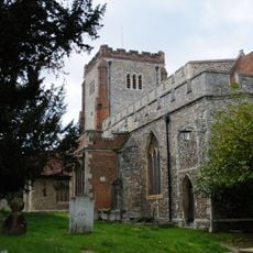
Church of All Saints
4.2 km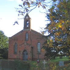
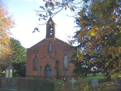
St Paul's Church
525 m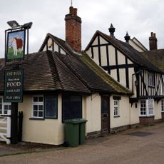
The Bull Inn
4.3 km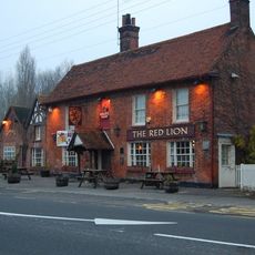
The Red Lion Inn
3.5 km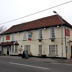
The Spread Eagle Inn
3.8 km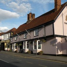
The Bell Inn
4.5 km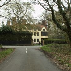
Norton Mandeville Manor
4 km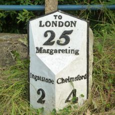
Milestone 27 Metres South South West Of The Spread Eagle Public House
3.8 km
Milestone 12 Metres North West Of 9 Maldon Road
4 km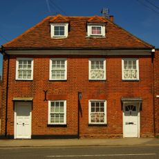
28 And 30, High Street
4.4 km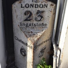
Milepost Between Numbers 74 And 76
4.4 km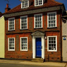
98, High Street
4.5 km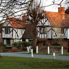
Aubyns
4.2 km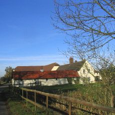
Clapgate Farmhouse
3.9 km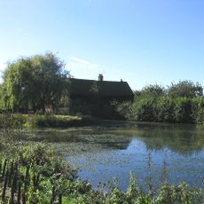
Barn North East Of Corrells Farmhouse
802 m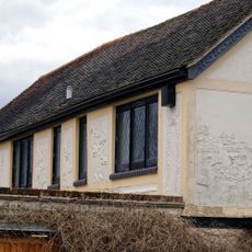
Swan House
4.3 km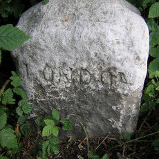
Milestone, Maldon Road, by gate to public footpath
4 km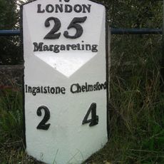
Milestone, opp. Spread Eagle PH
3.8 km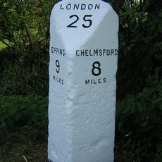
Milestone, Chelmsford Road, Norton Heath, nr 'Milestone'
4.5 kmHa visitato questo luogo? Tocchi le stelle per valutarlo e condividere la Sua esperienza o foto con la community! Provalo ora! Puoi annullarlo in qualsiasi momento.
Scopri tesori nascosti ad ogni viaggio!
Da piccoli caffè caratteristici a panorami nascosti, fuggi dalla folla e scova i posti che fanno davvero per te. La nostra app ti semplifica tutto: ricerca vocale, filtri furbi, percorsi ottimizzati e dritte autentiche da viaggiatori di tutto il mondo. Scaricala subito per vivere l'avventura sul tuo smartphone!

Un nuovo approccio alla scoperta turistica❞
— Le Figaro
Tutti i luoghi che meritano di essere esplorati❞
— France Info
Un’escursione su misura in pochi clic❞
— 20 Minutes