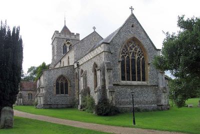
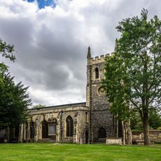
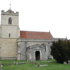
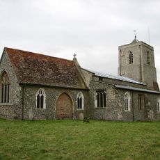
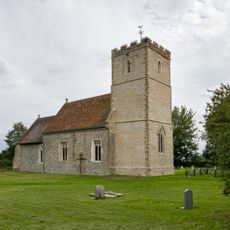
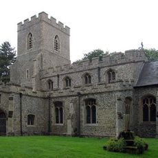
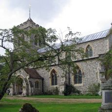
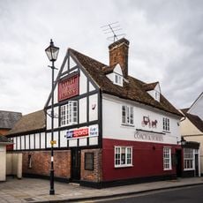
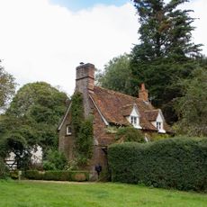
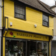
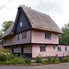
Therfield, Insediamento umano inglese
Posizione: North Hertfordshire
Coordinate GPS: 52.01630,-0.05750
Ultimo aggiornamento: 4 marzo 2025 alle 06:46
Church of St John the Baptist, Royston, Hertfordshire
4.3 km
St Andrew's Church, Buckland
4.1 km
Roisia's Cross
4.2 km
Church of All Saints
2.8 km
The Corn Exchange
4.1 km
Blagrove Common
3.4 km
Church of St Mary
3 km
Church of St Faith
1 km
Church of St Mary
48 m
The Coach And Horses Inn
4.3 km
Barclays Bank
4.1 km
Royston Manor House
4.3 km
Old School House
91 m
The Old Courthouse
4.2 km
6, High Street
4.2 km
4, High Street
4.2 km
Church Gate
131 m
22 And 24, High Street
4.2 km
Milestone In Yard Of Buckland Bury (20 Meters To South-South-East Of House)
4.1 km
Milestone
3 km
Milestone
2.3 km
18 And 20, High Street
4.2 km
8, High Street
4.2 km
Milestone
2.7 km
2, High Street
4.2 km
18 And 20, Kneesworth Street
4.3 km
Milestone, London Road, jct with Sun Hill
4 km
16, Kneesworth Street
4.3 kmRecensioni
Ha visitato questo luogo? Tocchi le stelle per valutarlo e condividere la Sua esperienza o foto con la community! Provalo ora! Puoi annullarlo in qualsiasi momento.
Scopri tesori nascosti ad ogni viaggio!
Da piccoli caffè caratteristici a panorami nascosti, fuggi dalla folla e scova i posti che fanno davvero per te. La nostra app ti semplifica tutto: ricerca vocale, filtri furbi, percorsi ottimizzati e dritte autentiche da viaggiatori di tutto il mondo. Scaricala subito per vivere l'avventura sul tuo smartphone!
Un nuovo approccio alla scoperta turistica❞
— Le Figaro
Tutti i luoghi che meritano di essere esplorati❞
— France Info
Un’escursione su misura in pochi clic❞
— 20 Minutes