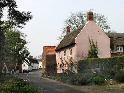
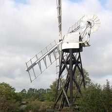
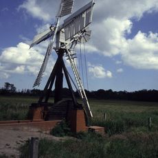
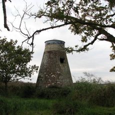
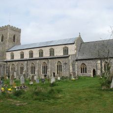
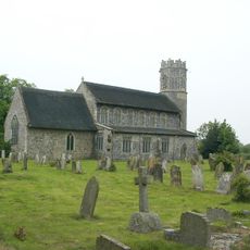
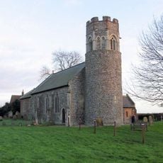
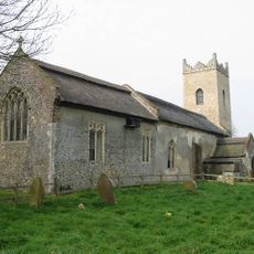
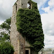
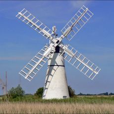
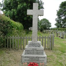
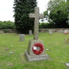
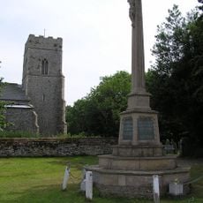
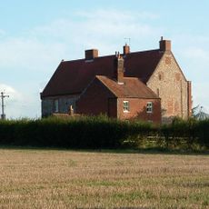
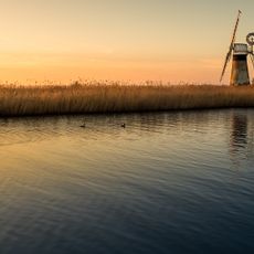
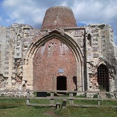
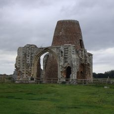
Ludham, insediamento in Inghilterra
Posizione: North Norfolk
Coordinate GPS: 52.70988,1.53551
Ultimo aggiornamento: 10 marzo 2025 alle 03:18
How Hill House
1.8 km
Boardman's Windmill
2.2 km
Clayrack Drainage Mill
2.2 km
Swim Coots Mill
3.6 km
Church of St Catherine
130 m
Church of St Nicholas
3.4 km
Church of St Peter and St Paul
3.6 km
Church of St Michael
3.2 km
Church of All Saints
3 km
Church of St Edmund
3.1 km
Ruins Of St Peters Chapel
3.7 km
Potter Heigham Bridge
3.1 km
Thurne Dyke Windpump At Tg 40031591
2.7 km
Thurne War Memorial
3.2 km
Horning War Memorial
3.8 km
Repps with Bastwick War Memorial
3.5 km
Potter Heigham War Memorial
3.4 km
Catfield War Memorial
3.1 km
Ludham Hall Including Attached Chapel
1.1 km
Turf Fen Windpump At Tg 36971888
2 km
Milestone, Long Lane, a few yds S of farmyard
2.5 km
St Benets Level Windpump At Tg 39941564
2.9 km
Milestone, Market Rd, 150yds N of track/FP
2.1 km
Remains Of St Benets Abbey
2.8 km
Milestone, by E corner of "Glenhaven", opp. Church Rooms
166 m
Milestone, Norwich Rd, by Riverview, Johnson Street
1.6 km
Milestone, Yarmouth Rd 100yds W of jct with Fritton Rd
1.3 km
St Benet's Abbey
2.7 kmHa visitato questo luogo? Tocchi le stelle per valutarlo e condividere la Sua esperienza o foto con la community! Provalo ora! Puoi annullarlo in qualsiasi momento.
Scopri tesori nascosti ad ogni viaggio!
Da piccoli caffè caratteristici a panorami nascosti, fuggi dalla folla e scova i posti che fanno davvero per te. La nostra app ti semplifica tutto: ricerca vocale, filtri furbi, percorsi ottimizzati e dritte autentiche da viaggiatori di tutto il mondo. Scaricala subito per vivere l'avventura sul tuo smartphone!
Un nuovo approccio alla scoperta turistica❞
— Le Figaro
Tutti i luoghi che meritano di essere esplorati❞
— France Info
Un’escursione su misura in pochi clic❞
— 20 Minutes