
Botusfleming, village and civil parish in Cornwall, England, UK
Posizione: Cornwall
Altezza sopra il mare: 50,2 m
Coordinate GPS: 50.43000,-4.24800
Ultimo aggiornamento: 23 marzo 2025 alle 06:41
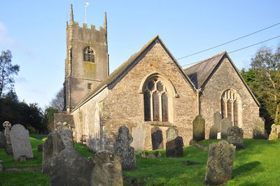
Church of St Stephen
3.2 km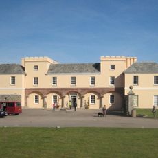
Pentillie
3.3 km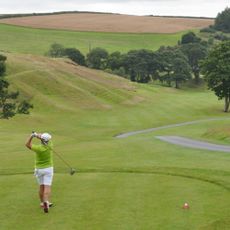
St. Mellion International Resort
5 km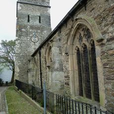
Parish Church of St Nicholas and St Faith
3.7 km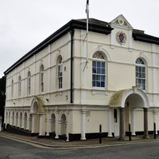
Saltash Guildhall
3.7 km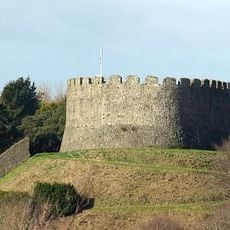
Trematon Castle
3.4 km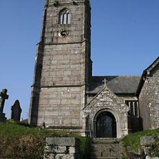
Church of St Mellanus
4.5 km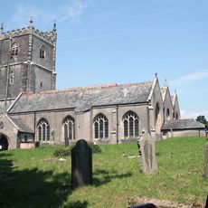
Church of St Leonard and St Dilp
2.7 km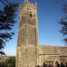
Church of St Michael
3.1 km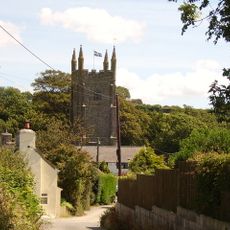
Church of St Odulphus
4.8 km
Church of St Terminus
4 km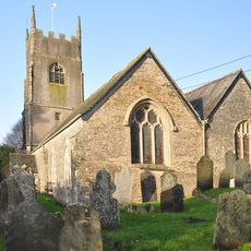
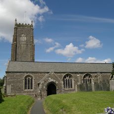
Church of St Mary
32 m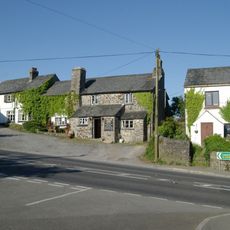
Coryton Arms Excluding Extension On Left Hand Gable End
4.5 km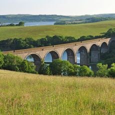
Forder Viaduct
3.8 km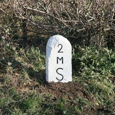
Milestone Near Withy Cross
1.6 km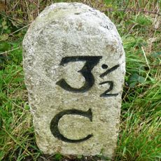
Milestone To East Of The Glebe
4.3 km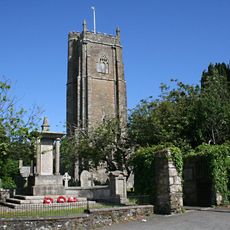
St Stephens by Saltash War Memorial
3.2 km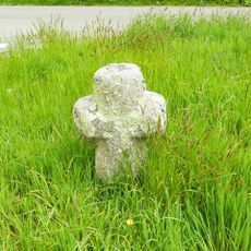
Trehan Cross, at Trehan village
3.2 km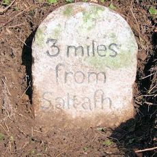
Milestone To East Of Notter Bridge
1.9 km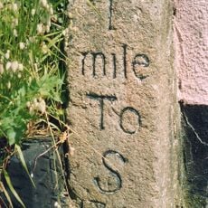
Milestone At Burraton Cross
2 km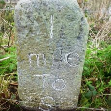
Milestone At Ngr Sx4211259431
2.5 km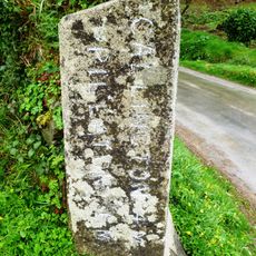
Milestone At Sx 366 633
4.3 km
Milestone To South East Of Carkeel
1.2 km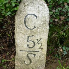
Milestone North Of Hatt (Ngr Sx3987662632)
1.4 km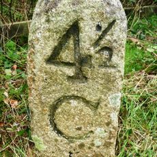
Milestone At Paynters Cross
2.9 km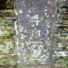
Milestone
3.3 km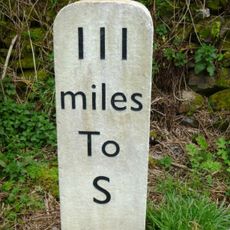
Milestone, Botus Fleming, Callington Road, NW of Carkeel, S of Hatt
717 m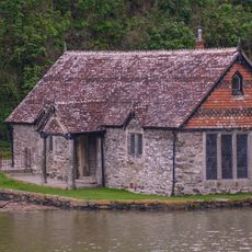
Bathing House At Pentillie Quay And Quay
3.4 kmHa visitato questo luogo? Tocchi le stelle per valutarlo e condividere la Sua esperienza o foto con la community! Provalo ora! Puoi annullarlo in qualsiasi momento.
Scopri tesori nascosti ad ogni viaggio!
Da piccoli caffè caratteristici a panorami nascosti, fuggi dalla folla e scova i posti che fanno davvero per te. La nostra app ti semplifica tutto: ricerca vocale, filtri furbi, percorsi ottimizzati e dritte autentiche da viaggiatori di tutto il mondo. Scaricala subito per vivere l'avventura sul tuo smartphone!

Un nuovo approccio alla scoperta turistica❞
— Le Figaro
Tutti i luoghi che meritano di essere esplorati❞
— France Info
Un’escursione su misura in pochi clic❞
— 20 Minutes