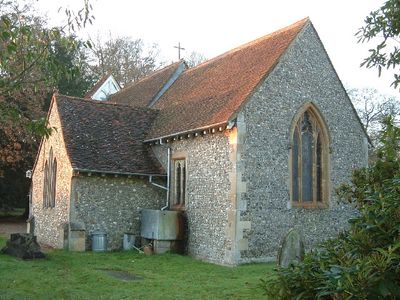
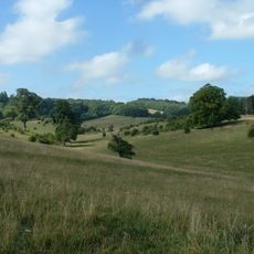
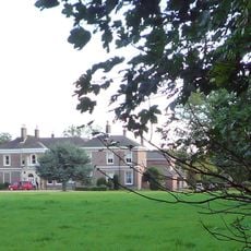
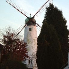
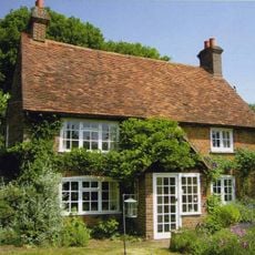
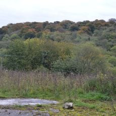
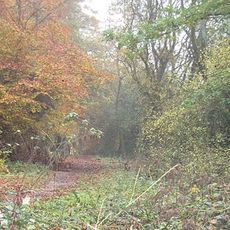
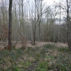
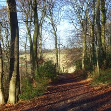
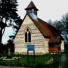
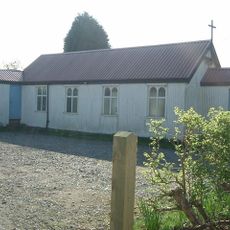
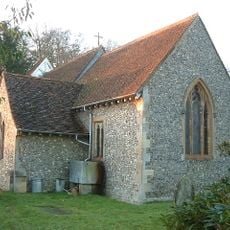
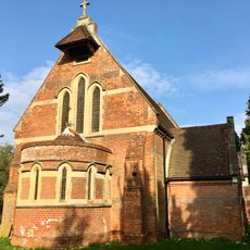
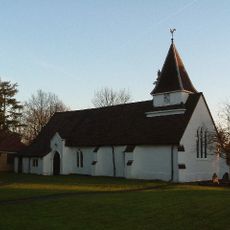
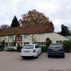
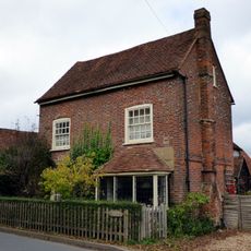
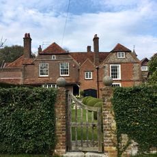
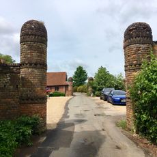
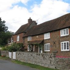
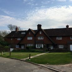
Cholesbury-cum-St Leonards, civil parish in Buckinghamshire, England
Posizione: Buckinghamshire
Sito web: http://cholesburyparishcouncil.org.uk
Coordinate GPS: 51.75460,-0.65210
Ultimo aggiornamento: 12 marzo 2025 alle 20:05
Tring Park
3.3 km
Rossway
2.8 km
Hawridge Windmill
347 m
Cholesbury Manor House
193 m
Pednor House
4.4 km
Dancersend Waterworks
3.2 km
Tring Woodlands
3.3 km
Sands Bank
4.1 km
Captain's Wood, Buckinghamshire
4.1 km
Church of St Mary
2.2 km
St John's Church
2.6 km
Church of St Bartholomew (church of England)
3.4 km
Church of St Lawrence
227 m
Parish Church of St John the Baptist
4.2 km
Church of St Leonard
2.1 km
The Lee War Memorial
4.2 km
Ruins Of Chapel Of St Mary Magdalene At Marlin Chapel Farm
3.1 km
Liberty Family Memorial To North Of Parish Church Of St John The Baptist
4.2 km
White Lion Public House
1.3 km
Wigginton War Memorial
3.3 km
Dovecote At Pednor House
4.4 km
Full Moon Public House
419 m
Chartridge Green House
3.3 km
Large multivallate hillfort known as Cholesbury Camp
196 m
Hawthorn Farmhouse
4.2 km
Walls And Gatepiers At Pednor House And Little Pednor Court
4.4 km
Sunnycot And The Old Post House
4.2 km
Prestwick Rushmere
4.3 kmHa visitato questo luogo? Tocchi le stelle per valutarlo e condividere la Sua esperienza o foto con la community! Provalo ora! Puoi annullarlo in qualsiasi momento.
Scopri tesori nascosti ad ogni viaggio!
Da piccoli caffè caratteristici a panorami nascosti, fuggi dalla folla e scova i posti che fanno davvero per te. La nostra app ti semplifica tutto: ricerca vocale, filtri furbi, percorsi ottimizzati e dritte autentiche da viaggiatori di tutto il mondo. Scaricala subito per vivere l'avventura sul tuo smartphone!
Un nuovo approccio alla scoperta turistica❞
— Le Figaro
Tutti i luoghi che meritano di essere esplorati❞
— France Info
Un’escursione su misura in pochi clic❞
— 20 Minutes