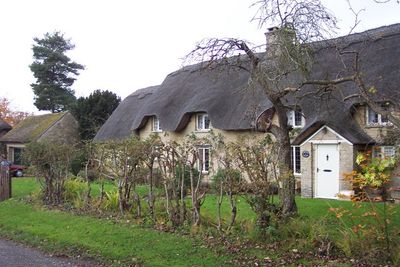
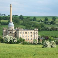
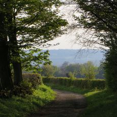
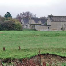
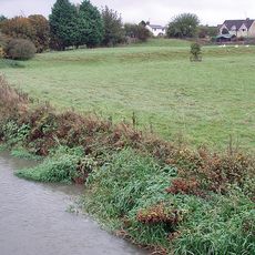
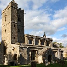
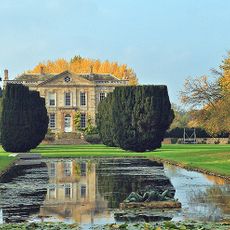
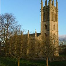
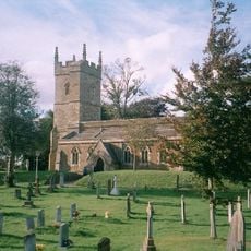
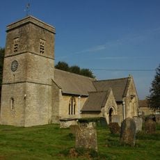
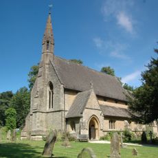
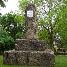
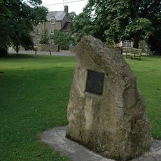
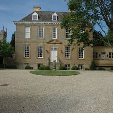
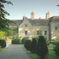
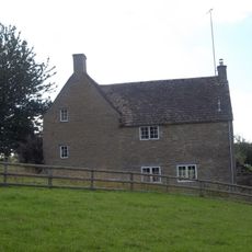
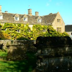
Sarsden, village in United Kingdom
Posizione: West Oxfordshire
Parte di: Churchill and Sarsden
Confina con: 
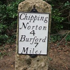
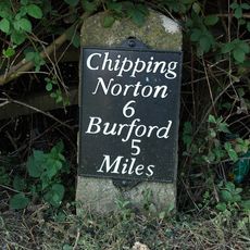
Churchill, Bruern, Lyneham, Chadlington, Fifield
Sito web: http://churchillsarsden.com
Coordinate GPS: 51.91000,-1.57900
Ultimo aggiornamento: 6 marzo 2025 alle 05:43
Bliss Tweed Mill
3.4 km
The Dower House
1.7 km
Ascot d'Oilly Castle
4.7 km
Ascott Earl Castle
5.2 km
Church of St Leonard
4.7 km
Lyneham Longbarrow
2.6 km
Bruern Abbey
4 km
Church of All Saints
903 m
Church of St Andrew
3.2 km
Church of the Holy Trinity
5 km
Church of St Simon and St Jude
5.5 km
William Smith Memorial
1.1 km
Kingham Memorial Stone
3.1 km
Kingham House
3.2 km
Manor House
4.7 km
Manor House And Attached Walls And Outbuildings
4.6 km
Parsonage Farmhouse
627 m
Wayside Cross At Ngr Sp 29082329
302 m
Bruern Abbey
4.1 km
Milestone At Ngr Sp 3116 2414
2.2 km
Gilberts Farmhouse
4.7 km
Lyneham long barrow and standing stone, 480m north east of Hill Barn
2.6 km
The Roundabout hillfort, 460m west of Barter's Hill Farm
2.3 km
House Immediately To North East Of Trinder's Farmhouse
3.1 km
The Old Prebendal
5.7 km
Milestone, Barters Hill Farm
2.5 km
Milestone, Station Road; 20m S of turn to Shipton Mill
5.1 km
Milestone, Worcester Road; drive to No. 33, Chipping Norton Common
3.5 kmHa visitato questo luogo? Tocchi le stelle per valutarlo e condividere la Sua esperienza o foto con la community! Provalo ora! Puoi annullarlo in qualsiasi momento.
Scopri tesori nascosti ad ogni viaggio!
Da piccoli caffè caratteristici a panorami nascosti, fuggi dalla folla e scova i posti che fanno davvero per te. La nostra app ti semplifica tutto: ricerca vocale, filtri furbi, percorsi ottimizzati e dritte autentiche da viaggiatori di tutto il mondo. Scaricala subito per vivere l'avventura sul tuo smartphone!
Un nuovo approccio alla scoperta turistica❞
— Le Figaro
Tutti i luoghi che meritano di essere esplorati❞
— France Info
Un’escursione su misura in pochi clic❞
— 20 Minutes