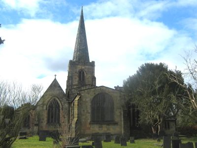
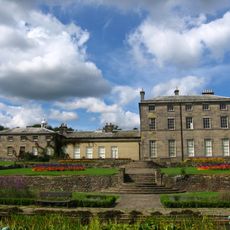
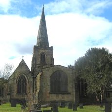
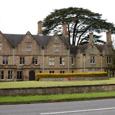
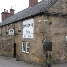
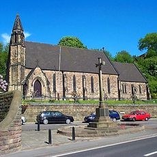
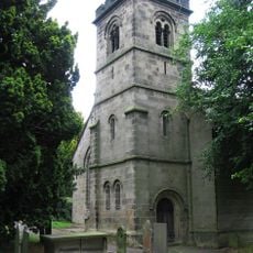
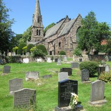
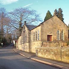
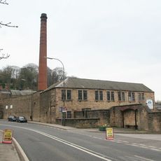
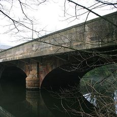
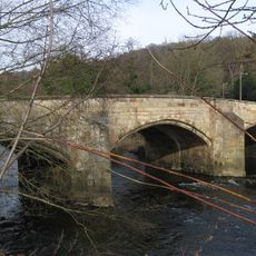
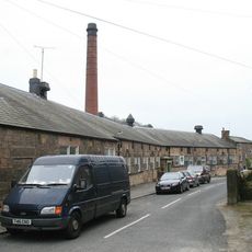
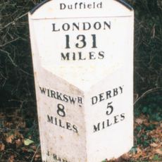
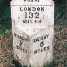
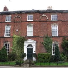
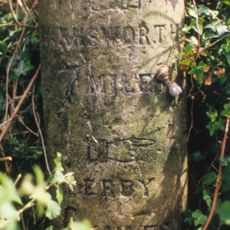
Duffield, village and civil parish in Amber Valley district, Derbyshire, England
Posizione: Amber Valley
Confina con: City of Derby, Belper, Hazelwood, Windley, Quarndon, Little Eaton, Holbrook
Coordinate GPS: 52.98910,-1.48890
Ultimo aggiornamento: 3 marzo 2025 alle 21:27
Castello di Duffield
405 m
Allestree Hall
3 km
Milford Tunnel
1.4 km
St Alkmund's Church, Duffield
1 km
Duffield Hall
645 m
Holly Bush Inn, Makeney
1.3 km
Church of the Holy Trinity
1.9 km
St Paul's Church, Little Eaton
2.7 km
St Paul's Church, Quarndon
2.8 km
Duffield War Memorial
985 m
Milestone, Makeney Road; 50m N of Holbrook Hall drive
1.9 km
Old Chapel, Gate Piers And Railings
202 m
Twelfth century tower keep castle, including sites of an eleventh century motte and bailey castle, an Anglian cemetery and a Rom
396 m
Milford War Memorial
1.8 km
Duffield Library
410 m
Parish Room
2.7 km
Building 51 Milford Dyehouse
1.6 km
Milford Bridge
1.6 km
Duffield Bridge
928 m
Milford County Junior Mixed And Infants School
1.6 km
Milepost At Os 336 432
986 m
Mile Post At Os 324 443
2.1 km
The Meadows
534 m
Queens Head Inn And Attached Coach House
2.9 km
Milepost At Os 346 427
896 m
The Forge
401 m
Milepost At Os 350 413
2.4 km
Milestone, Hazelwood Road jct (S of village)
2 kmHa visitato questo luogo? Tocchi le stelle per valutarlo e condividere la Sua esperienza o foto con la community! Provalo ora! Puoi annullarlo in qualsiasi momento.
Scopri tesori nascosti ad ogni viaggio!
Da piccoli caffè caratteristici a panorami nascosti, fuggi dalla folla e scova i posti che fanno davvero per te. La nostra app ti semplifica tutto: ricerca vocale, filtri furbi, percorsi ottimizzati e dritte autentiche da viaggiatori di tutto il mondo. Scaricala subito per vivere l'avventura sul tuo smartphone!
Un nuovo approccio alla scoperta turistica❞
— Le Figaro
Tutti i luoghi che meritano di essere esplorati❞
— France Info
Un’escursione su misura in pochi clic❞
— 20 Minutes