
Wavendon, village and civil parish in Buckinghamshire, United Kingdom
Posizione: City of Milton Keynes
Coordinate GPS: 52.02520,-0.67670
Ultimo aggiornamento: 3 marzo 2025 alle 00:30
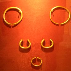
Milton Keynes Hoard
1.9 km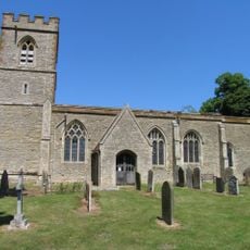
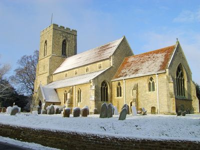
St Lawrence's Church, Broughton
3.3 km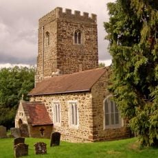
Church of All Saints
2.7 km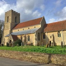
Church of St Mary
267 m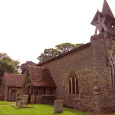
Church of St Mary the Virgin, Salford, Bedfordshire
3.3 km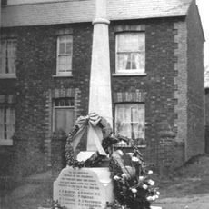
Bow Brickhill War Memorial
2.6 km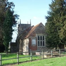
Church of St Nicholas, Hulcote, Bedfordshire
3.9 km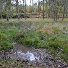
Wavendon Heath Ponds
3.9 km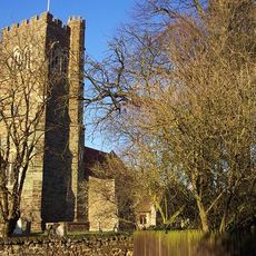
Parish Church of St James
4.8 km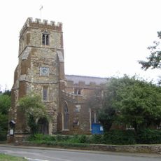
Church of St Botolph
3.5 km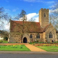
Church of St Thomas, Simpson
2.7 km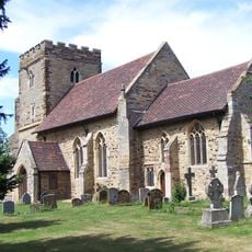
Church of St Mary
3.2 km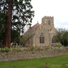
Church of All Saints
2.9 km
Church of St Mary
4.6 km
Church of Saint Michael
2.7 km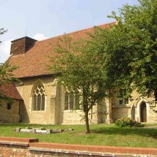
Holy Trinity Church
4 km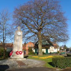
Woburn Sands and Aspley Heath War Memorial
2.5 km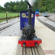
Caldecotte Miniature Railway
2.7 km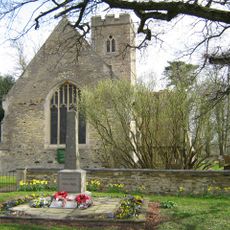
Simpson War Memorial Obelisk
2.7 km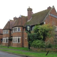
Carrington Arms Public House
4.8 km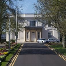
Walton Hall At The Open University
2.3 km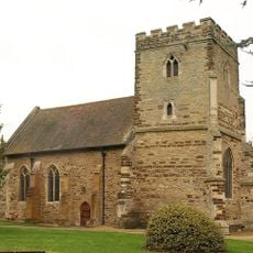
St Michael's Church Of The Open University
2.4 km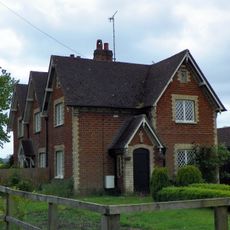
Numbers 1 To 3 And Detached Outhouses To Rear
5.2 km
Fenny Lodge Former Stable Block To Fenny Lodge
3.7 km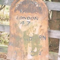
Milepost, Newport Road: outside Broughton Manor, opp Broughton Ground Lane
2.8 km
Pump House
3.7 km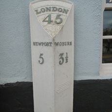
Milepost, Newport Road; by The Wavenden Arms (formally Leathern Bottle) PH
596 m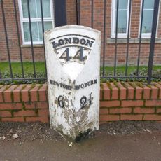
Milepost, Station Road; 100m SE of level crossing at Woburn Sands Railway Station
1.9 kmHa visitato questo luogo? Tocchi le stelle per valutarlo e condividere la Sua esperienza o foto con la community! Provalo ora! Puoi annullarlo in qualsiasi momento.
Scopri tesori nascosti ad ogni viaggio!
Da piccoli caffè caratteristici a panorami nascosti, fuggi dalla folla e scova i posti che fanno davvero per te. La nostra app ti semplifica tutto: ricerca vocale, filtri furbi, percorsi ottimizzati e dritte autentiche da viaggiatori di tutto il mondo. Scaricala subito per vivere l'avventura sul tuo smartphone!

Un nuovo approccio alla scoperta turistica❞
— Le Figaro
Tutti i luoghi che meritano di essere esplorati❞
— France Info
Un’escursione su misura in pochi clic❞
— 20 Minutes