
Chevet, civil parish in West Yorkshire, UK
Posizione: Wakefield
Coordinate GPS: 53.63300,-1.47400
Ultimo aggiornamento: 20 marzo 2025 alle 00:29
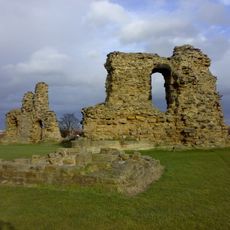
Sandal Castle
3.1 km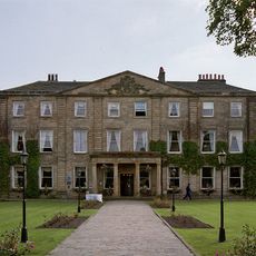
Walton Hall
1.8 km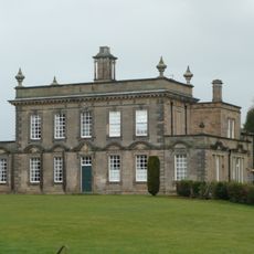
Kettlethorpe Hall
2.1 km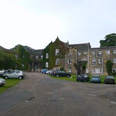
Woolley Hall
3.1 km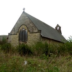
Church of St John the Divine, Calder Grove
4.4 km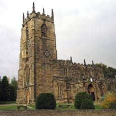
Church of St John the Baptist
4.3 km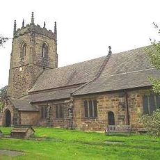
Church of St Peter, Woolley
3.7 km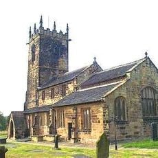
Church of St Peter
4.7 km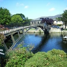
Iron Bridge across Lake to Walton Hall
1.8 km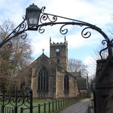
Church of St Helen, Sandal
3 km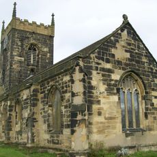
Church of All Saints
4.1 km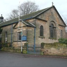
Church of St James
2.9 km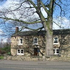
Lord Of The Manor Public House
4.1 km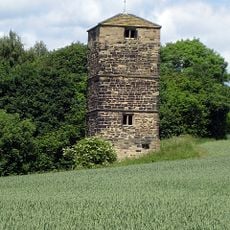
Dame Mary Bolle's Water Tower Including Water Wheel Housing And Overflow Channel
4.7 km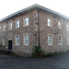
Wheelhouse Restaurant
1.7 km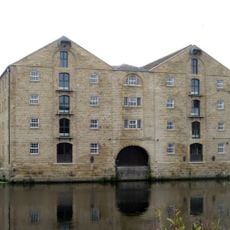
Navigation Warehouse
4.7 km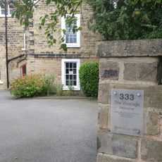
Sandal Vicarage
3 km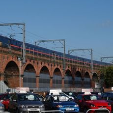
Ninety-Nine Arches Viaduct
4.8 km
Stable Building To North Of Number 17
3 km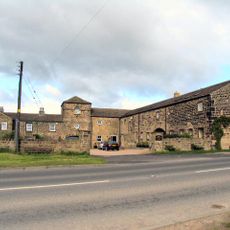
Windhill Gate Farmhouse An Attached Outbuildings
4.8 km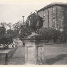
Sundial On Island To Rear Of Walton Hall
1.8 km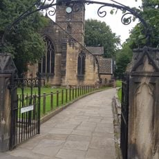
Gate Piers And Gates To West Of Church Of St Helen
3 km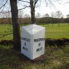
Milestone Approximately 200 Metres North Of Junction With Spring Lane
4.1 km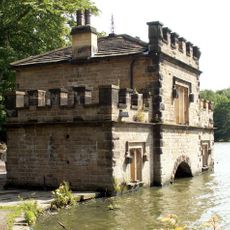
The Boat House
1.4 km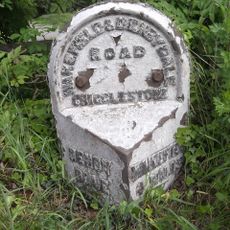
Milestone Approximately 10 Metres North Of Junction With Branch Road
4.9 km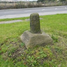
Wayside cross known as Kirk Cross
4.8 km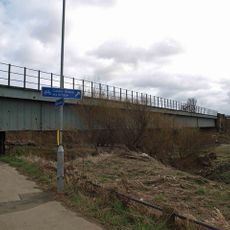
River Calder Bridge
4.8 km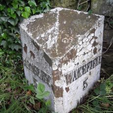
Milestone, 175m N of Woolley X-roads, adj SLOW on road
2.7 kmHa visitato questo luogo? Tocchi le stelle per valutarlo e condividere la Sua esperienza o foto con la community! Provalo ora! Puoi annullarlo in qualsiasi momento.
Scopri tesori nascosti ad ogni viaggio!
Da piccoli caffè caratteristici a panorami nascosti, fuggi dalla folla e scova i posti che fanno davvero per te. La nostra app ti semplifica tutto: ricerca vocale, filtri furbi, percorsi ottimizzati e dritte autentiche da viaggiatori di tutto il mondo. Scaricala subito per vivere l'avventura sul tuo smartphone!

Un nuovo approccio alla scoperta turistica❞
— Le Figaro
Tutti i luoghi che meritano di essere esplorati❞
— France Info
Un’escursione su misura in pochi clic❞
— 20 Minutes