
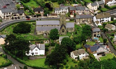
Coychurch Lower, community in Bridgend County Borough, Wales, UK
Posizione: Bridgend County Borough
Coordinate GPS: 51.49840,-3.52898
Ultimo aggiornamento: 7 marzo 2025 alle 15:11
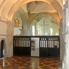
Ewenny Priory
2.9 km
Church Of St Crallo
868 m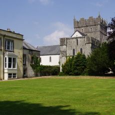
Ewenny Priory House
2.9 km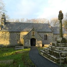
St Canna's Church
2 km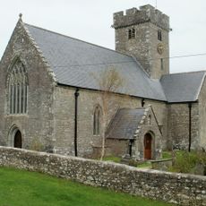
Church Of St Mary
3.1 km
Church of St Mary
1.9 km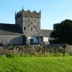
Church Of St Michael
2.9 km
Ewenny Priory Church
2.9 km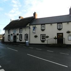
Star Inn
626 m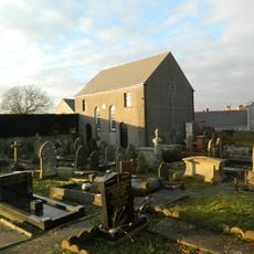
Saron Welsh Congregationalist Chapel
678 m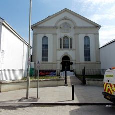
Hermon Calvinistic Methodist Chapel
3.3 km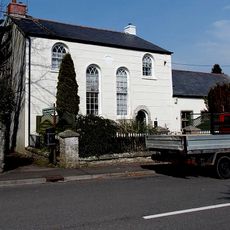
Tŷ Capel
2.7 km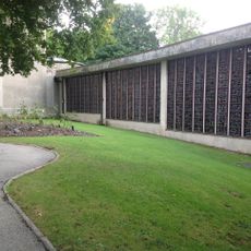
Coychurch Cemetery Capel Crallo And Capel Coity
1.6 km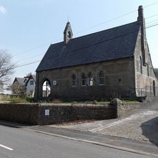
Ewenny Community Village Hall
3.2 km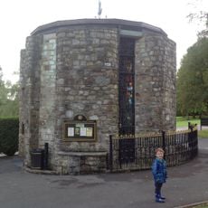
Coychurch Cemetery Chapel Of Remembrance
1.6 km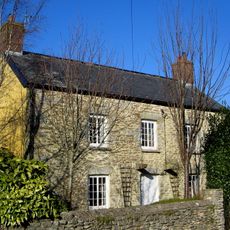
Treoes Farmhouse
602 m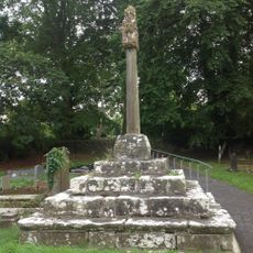
Churchyard Cross At Church Of St Canna
2.1 km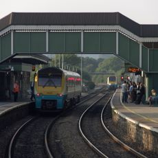
Footbridge at Bridgend Railway Station
3.3 km
N Tower And Attached Stretch Of Precinct Wall At Ewenny Priory (house)
2.9 km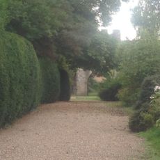
S Gatehouse At Ewenny Priory (house)
3 km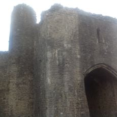
N Gatehouse At Ewenny Priory (house)
3 km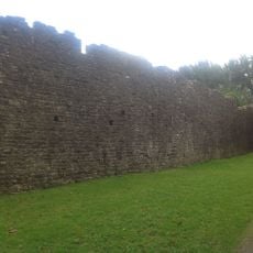
W Precinct Wall At Ewenny Priory (house)
3 km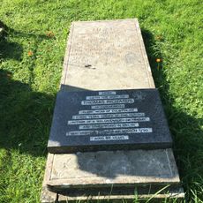
Tombstone of Thomas Richards in Coychurch churchyard
863 m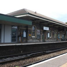
West platform building, Bridgend railway station
3.4 km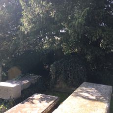
Group of 3 table tombs in Coychurch churchyard adjoining S porch
856 m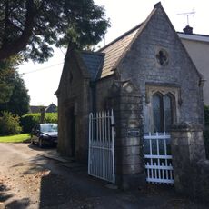
Brynffrwd Entrance and Lodge
752 m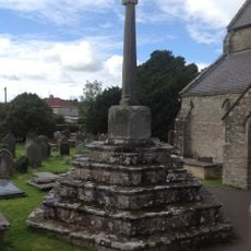
Churchyard Cross In Coychurch Churchyard
846 m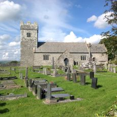
Churchyard Cross at Church of St Mary
1.9 kmRecensioni
Ha visitato questo luogo? Tocchi le stelle per valutarlo e condividere la Sua esperienza o foto con la community! Provalo ora! Puoi annullarlo in qualsiasi momento.
Scopri tesori nascosti ad ogni viaggio!
Da piccoli caffè caratteristici a panorami nascosti, fuggi dalla folla e scova i posti che fanno davvero per te. La nostra app ti semplifica tutto: ricerca vocale, filtri furbi, percorsi ottimizzati e dritte autentiche da viaggiatori di tutto il mondo. Scaricala subito per vivere l'avventura sul tuo smartphone!

Un nuovo approccio alla scoperta turistica❞
— Le Figaro
Tutti i luoghi che meritano di essere esplorati❞
— France Info
Un’escursione su misura in pochi clic❞
— 20 Minutes