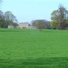
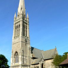
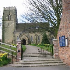
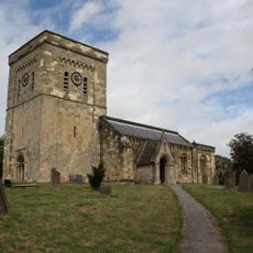
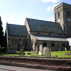
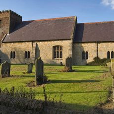
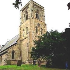
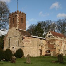
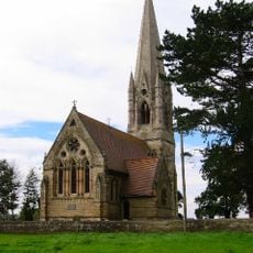
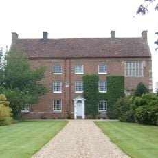
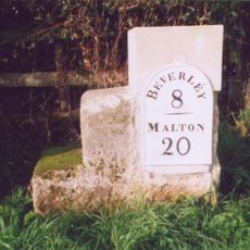
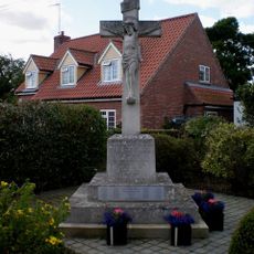
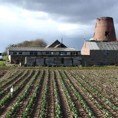
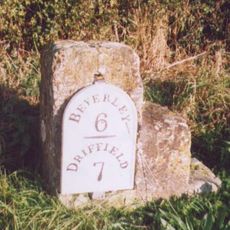
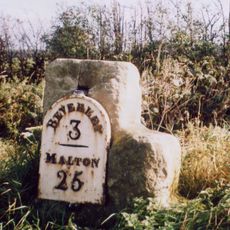
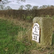
Dalton Holme, civil parish in East Riding of Yorkshire, UK
Posizione: East Riding of Yorkshire
Coordinate GPS: 53.89917,-0.56111
Ultimo aggiornamento: 2 marzo 2025 alle 21:07
Dalton Hall
1.1 km
Rifle Butts Quarry
5.7 km
Church of Saint Mary
2.1 km
Church of All Saints
3.4 km
Church of St Mary
4.1 km
Church of Saint Michael
6 km
Church of All Saints
6.3 km
Church of St. Andrew
3.8 km
Church of St Mary
5.2 km
Church of St Leonard
6.9 km
Beswick Hall
6.9 km
Milestone About 75 Metres East Of East Field Farm
4.7 km
Etton (East Yorkshire) War Memorial
4 km
Medieval Wayside Cross, Suggested To Be The Molescroft Cross
2.4 km
Milestone, E of lane to Cherry Burton
5.3 km
Etton Mill
4.5 km
Milestone, Main Street, S end of Beswick village
6.9 km
Milestone, Cherry Burton
5.4 km
Milestone, 200m N of jct. to South Dalton
3.2 km
Milestone, ½ mile W of Kilnwick
5.4 km
Market Cross
3.3 km
Milestone, Between Scorborough Lodge and Old Road Junction
6.8 km
Milestone, ¼ mile N of southern jct. to Lund
2.7 km
Milestone, just N of Middleton on the Wolds
4.6 km
Milestone, Just W of Bishop Burton village
6.3 km
Milestone, ¼ mile N of Leman Wood
4.2 km
Milestone, Lund, 15 North Road, almost opp church
3.3 km
Milestone, W of Hessleskew X rds
5.2 kmHa visitato questo luogo? Tocchi le stelle per valutarlo e condividere la Sua esperienza o foto con la community! Provalo ora! Puoi annullarlo in qualsiasi momento.
Scopri tesori nascosti ad ogni viaggio!
Da piccoli caffè caratteristici a panorami nascosti, fuggi dalla folla e scova i posti che fanno davvero per te. La nostra app ti semplifica tutto: ricerca vocale, filtri furbi, percorsi ottimizzati e dritte autentiche da viaggiatori di tutto il mondo. Scaricala subito per vivere l'avventura sul tuo smartphone!
Un nuovo approccio alla scoperta turistica❞
— Le Figaro
Tutti i luoghi che meritano di essere esplorati❞
— France Info
Un’escursione su misura in pochi clic❞
— 20 Minutes