
Dunston, village and civil parish in Staffordshire, UK
Posizione: South Staffordshire
Coordinate GPS: 52.76000,-2.10900
Ultimo aggiornamento: 4 marzo 2025 alle 09:38
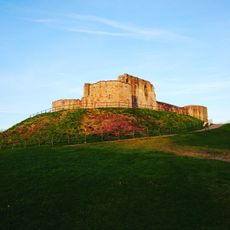
Castello di Stafford
4.9 km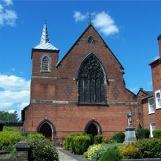
St Austin's Church, Stafford
4.5 km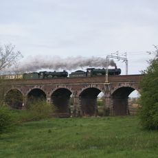
Penkridge Viaduct
3.7 km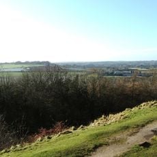
Berry Ring hillfort
5.1 km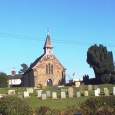
St Lawrence's Church, Coppenhall
2.4 km
Friars' Walk drill hall, Stafford
4.8 km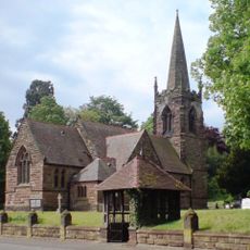
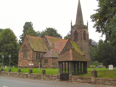
Church of St Leonard
302 m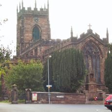
Church of St Michael and All Angels
3.9 km
Church of St Paul
4.7 km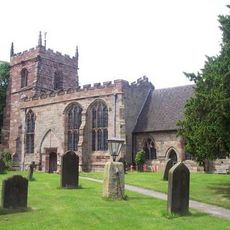
Church of St Mary and All Saints
4.8 km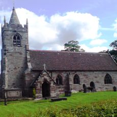
Church of St James
1.2 km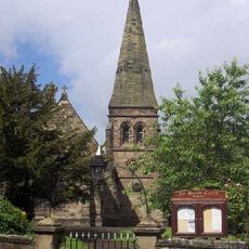
Church of All Saints
2.8 km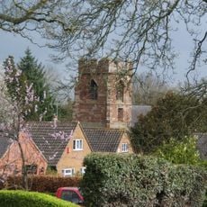
Church of St Mary
4.6 km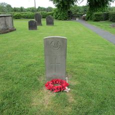
Aspley Family Memorial Approximately 7 Yards North North East Of West Tower Of Church Of St James
1.1 km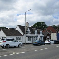
The Railway Inn
4.1 km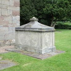
John Barlow Memorial Approximately One Yard South Of Chancel Of Church Of St James
1.2 km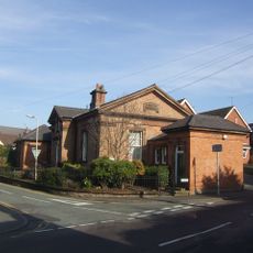
Penkridge Library
3.9 km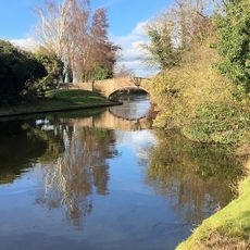
Staffordshire And Worecestershire Canal Acton Moat Bridge
839 m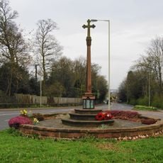
Berkswich War Memorial Including Enclosure
3.8 km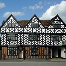
The White Hart
3.8 km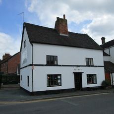
Corner House
3.8 km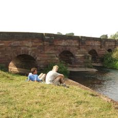
Cuttlestone Bridge
4.5 km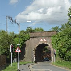
Railway Bridge Approximately 20 Yards West Of Church Farmhouse
3.9 km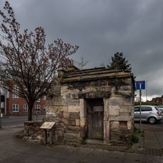
Forebridge Lock Up
4.8 km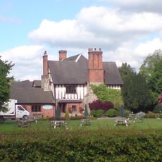
Moat House
906 m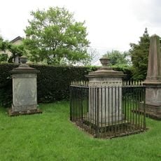
Tavernor Farmily Memorial And Surrounding Railings Approximately 50 Yards South Of South Aisle Of Church Of All Saints
2.8 km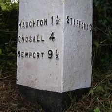
Milepost, Billington
4.9 km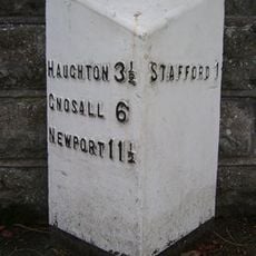
Milepost, Newport Road, E of West Way and W of Stafford town centre
4.5 kmRecensioni
Ha visitato questo luogo? Tocchi le stelle per valutarlo e condividere la Sua esperienza o foto con la community! Provalo ora! Puoi annullarlo in qualsiasi momento.
Scopri tesori nascosti ad ogni viaggio!
Da piccoli caffè caratteristici a panorami nascosti, fuggi dalla folla e scova i posti che fanno davvero per te. La nostra app ti semplifica tutto: ricerca vocale, filtri furbi, percorsi ottimizzati e dritte autentiche da viaggiatori di tutto il mondo. Scaricala subito per vivere l'avventura sul tuo smartphone!

Un nuovo approccio alla scoperta turistica❞
— Le Figaro
Tutti i luoghi che meritano di essere esplorati❞
— France Info
Un’escursione su misura in pochi clic❞
— 20 Minutes