Kneeton, village in United Kingdom
Posizione: Rushcliffe
Coordinate GPS: 53.00000,-0.93333
Ultimo aggiornamento: 16 aprile 2025 alle 05:16
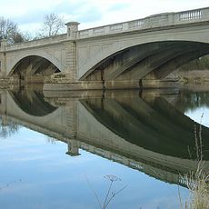
Gunthorpe Bridge
3.9 km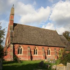
St Michael's Church, Hoveringham
2.2 km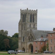
Priory Church of St. Peter, Thurgarton
4.6 km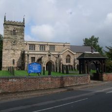
St Peter's Church, East Bridgford
3.4 km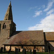
Church of St. John of Beverley, Scarrington
4.1 km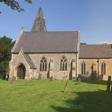
St Laurence's Church, Gonalston
4.1 km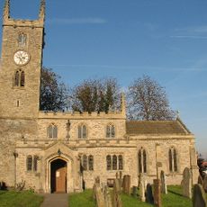
All Saints' Church, Elston
4.9 km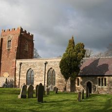
Church of St. Mary and All Saints, Hawksworth
4 km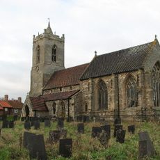
St Mary's Church, Car Colston
2.3 km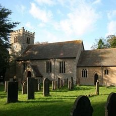
St Mary's Church
4.3 km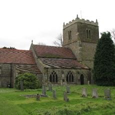
St Wilfrid's Church, Screveton
2.2 km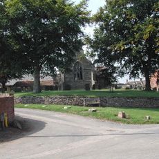
St Helen's Church, Kneeton
1.1 km
St Aidan's Church, Caythorpe
3.1 km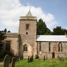
Church of St Augustine
2.3 km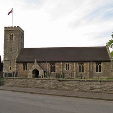
Church of All Saints
3.7 km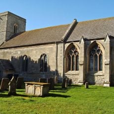
Church of St Peter
4.7 km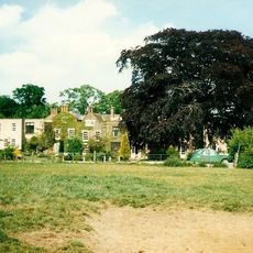
Elston Hall
4.8 km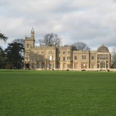
Flintham Hall
2.3 km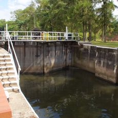
Gunthorpe Lock
3.3 km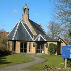
St John's Parish Church
3.7 km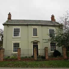
Montague House
3.7 km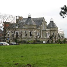
Elston Towers
4.3 km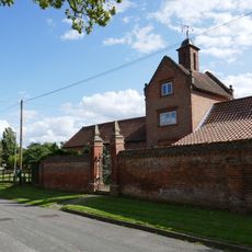
Model Farm Buildings At Top Farm
4 km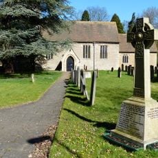
Bleasby War Memorial
4.3 km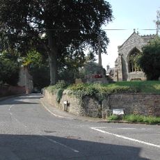
East Bridgford War Memorial Cross
3.3 km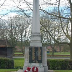
Lowdham War Memorial
4.6 km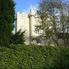
The Hall
3.8 km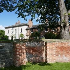
Hawksworth Place And Adjoining Garden Walls
4.1 kmHa visitato questo luogo? Tocchi le stelle per valutarlo e condividere la Sua esperienza o foto con la community! Provalo ora! Puoi annullarlo in qualsiasi momento.
Scopri tesori nascosti ad ogni viaggio!
Da piccoli caffè caratteristici a panorami nascosti, fuggi dalla folla e scova i posti che fanno davvero per te. La nostra app ti semplifica tutto: ricerca vocale, filtri furbi, percorsi ottimizzati e dritte autentiche da viaggiatori di tutto il mondo. Scaricala subito per vivere l'avventura sul tuo smartphone!

Un nuovo approccio alla scoperta turistica❞
— Le Figaro
Tutti i luoghi che meritano di essere esplorati❞
— France Info
Un’escursione su misura in pochi clic❞
— 20 Minutes