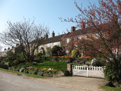
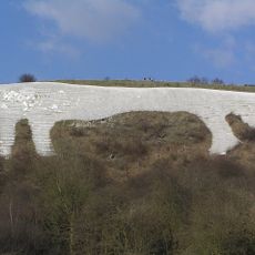
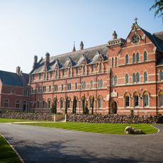
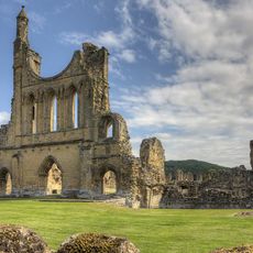
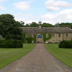
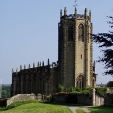
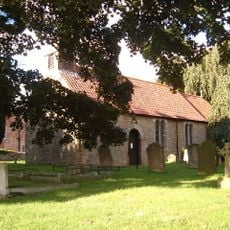
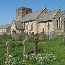
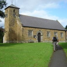
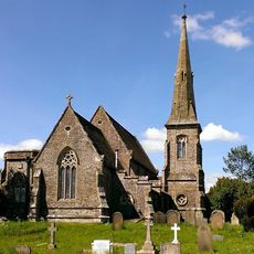
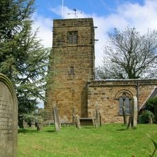
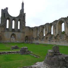
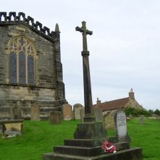
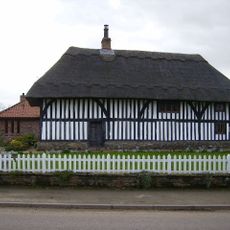
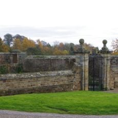
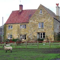
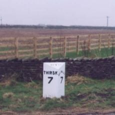
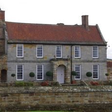
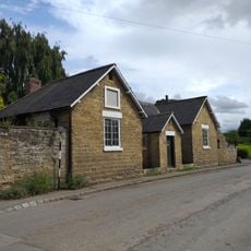
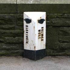
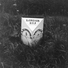
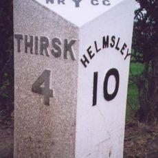
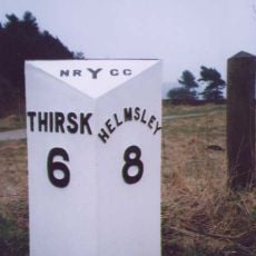
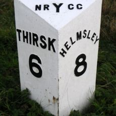
Kilburn, parrocchia civile del North Yorkshire
Posizione: Kilburn High and Low
Coordinate GPS: 54.21000,-1.21400
Ultimo aggiornamento: 4 marzo 2025 alle 11:22
Kilburn White Horse
1.6 km
Stanbrook Abbey
4.3 km
Byland Abbey
3.5 km
Newburgh Priory
4.3 km
Shandy Hall
2.9 km
Church of St Michael, Coxwold
3.1 km
St Mary's Church, Birdforth
4.7 km
Church of St Mary
34 m
Church of St Mary
3.2 km
Church of All Saints, Great Thirkleby
4.1 km
Church of St Nicholas
4.6 km
The Abbey Inn
3.6 km
War Memorial Set in Wall Approximately 7 Metres to South of Churchyard South Gateway
13 m
Coxwold War Memorial Within The Churchyard Of Saint Michael's Church
3.1 km
Wayside cross known as Cooper Cross on Sutton Bank
3.4 km
Thatch Cottage
3.3 km
Front Garden Wall With Gate Piers At Osgodby Hall
2.5 km
Hood Grange Farmhouse
2.8 km
Milepost Approximately 150 Metres East Of Spring Cottage And Greystones
3.7 km
Osgodby Hall
2.5 km
Former School
55 m
Milepost In Centre Of Birdforth Bridge
4.8 km
Mile Post On Birdforth Bridge
4.9 km
Milepost Approximately 170 Metres To East Of Drive To Whitestone Gardens
3.6 km
Mounting Block Approximately 6 Metres To South West Of South Gate To Church Of St Mary
9 m
Milepost Approximately 225 Metres To West Of Track To Gormire Lake
3 km
Husthwaite War Memorial
4.6 km
Milestone, top of Sutton Bank
3.3 kmRecensioni
Ha visitato questo luogo? Tocchi le stelle per valutarlo e condividere la Sua esperienza o foto con la community! Provalo ora! Puoi annullarlo in qualsiasi momento.
Scopri tesori nascosti ad ogni viaggio!
Da piccoli caffè caratteristici a panorami nascosti, fuggi dalla folla e scova i posti che fanno davvero per te. La nostra app ti semplifica tutto: ricerca vocale, filtri furbi, percorsi ottimizzati e dritte autentiche da viaggiatori di tutto il mondo. Scaricala subito per vivere l'avventura sul tuo smartphone!
Un nuovo approccio alla scoperta turistica❞
— Le Figaro
Tutti i luoghi che meritano di essere esplorati❞
— France Info
Un’escursione su misura in pochi clic❞
— 20 Minutes